Skip to content
psingh.ca
Contact

Trails I have actually walked

Every guide is dated to the day I was last there.

  • Sea to Sky·Moderate

    Tunnel Bluffs

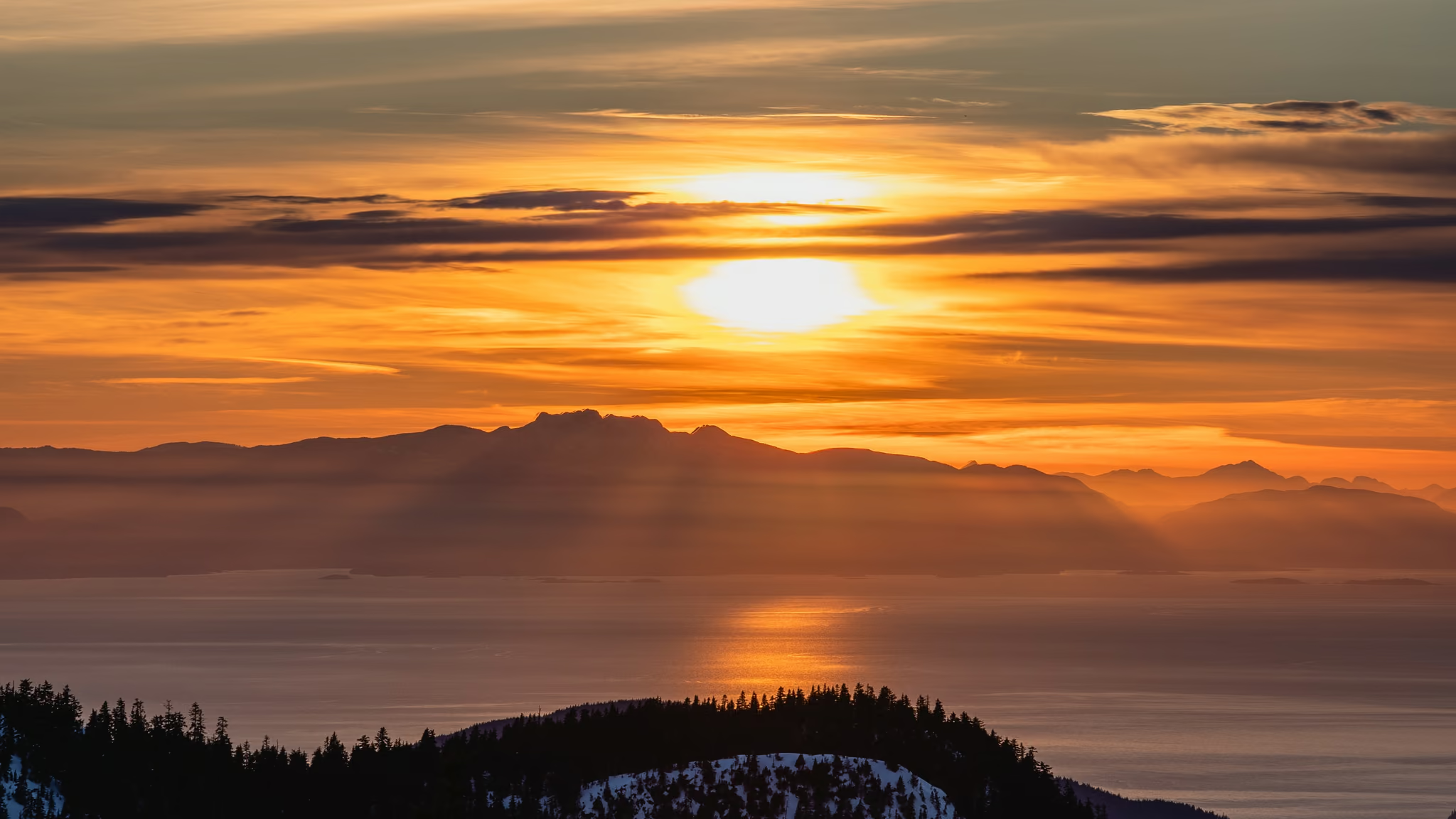
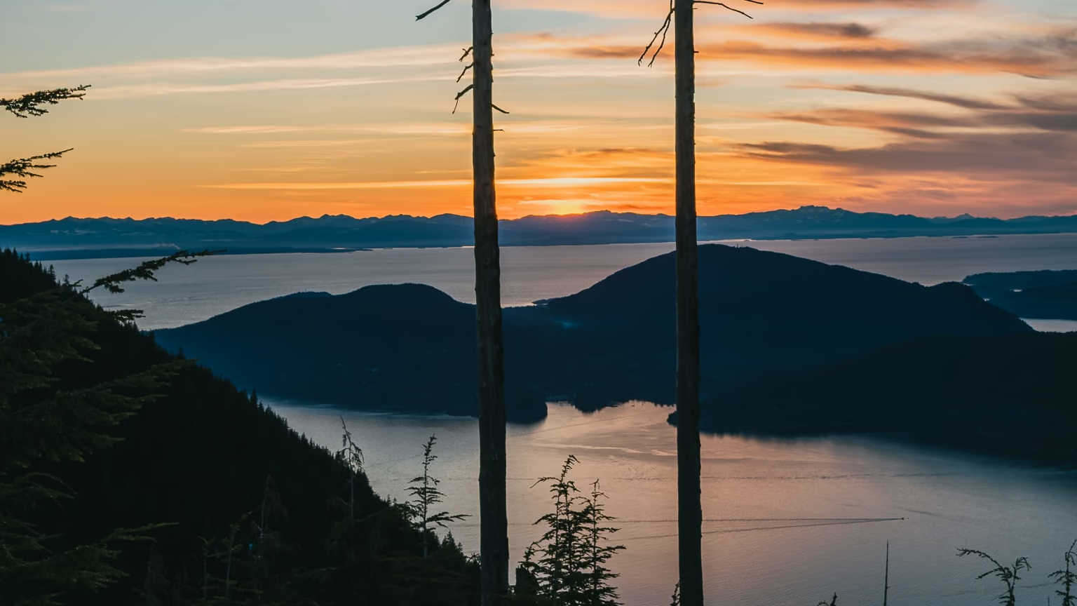
    The finest sunset bluff on Howe Sound, guarded by the most aggressively enforced parking situation in the Lower Mainland. Solve the parking and the hike is straightforward. I was back on 16 August 2026 and that still holds.

    11.5 km · 470 m · hiked Aug 2026
  • 3.8 km

    North Shore·Easy

    Quarry Rock, Deep Cove

    The default answer when the alpine is a whiteout - 90 minutes, no snow, no gear, a real view over Indian Arm, and the only North Shore viewpoint you can genuinely reach on a bus.

    3.8 km · 100 m · hiked Jun 2026

  • 6 km

    North Shore·Moderate

    Black Mountain, Cypress

    The most under-rated hike at Cypress, because everyone walks past the junction on their way to St Mark's or Eagle Bluffs. Six kilometres buys you a lake-covered summit plateau at 1,217 m with views in every direction.

    6 km · 336 m · hiked Jun 2026

  • 2.6 km

    Fraser Valley·Easy

    Bosumarne Falls

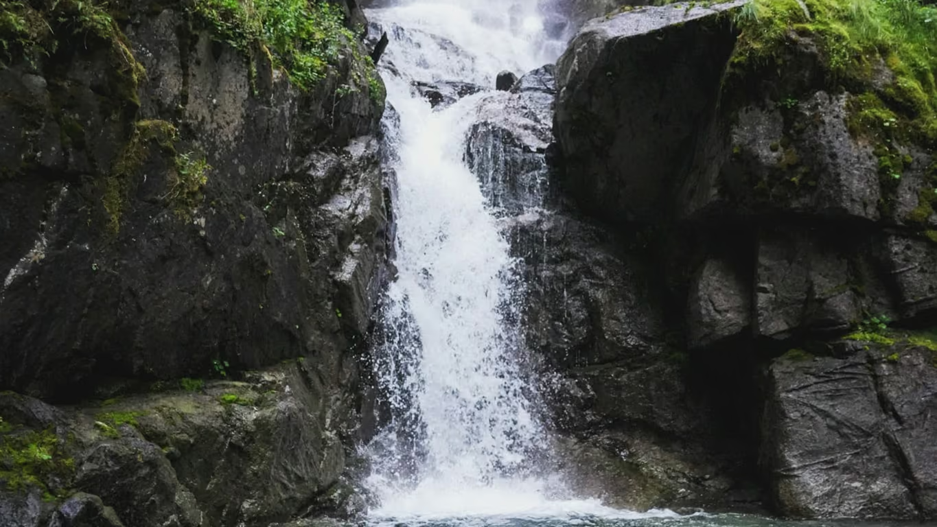
    Twenty-five minutes of walking for a genuinely good tiered waterfall, but the unbridged creek crossing means the weeks with the most water are the weeks you should not be here.

    2.6 km · 100 m · hiked Jun 2026

  • 4 km

    North Shore·Easy

    Bowen Lookout, Cypress

    The best sunset-to-effort ratio in Cypress Provincial Park, and the one winter route out of the Cypress Bowl that a beginner can do honestly. Two hours, a hundred metres of climbing, and the sun going down over Howe Sound.

    4 km · 110 m · hiked Jun 2026

  • 6 km

    Sea to Sky·Moderate

    Crooked Falls

    The anti-Shannon Falls - a real waterfall you have to earn, forty minutes past the crowds, with no railings and no crowd, which is both the appeal and the warning.

    6 km · 395 m · hiked Jun 2026

  • 9 km

    North Shore·Moderate

    Eagle Bluffs via Black Mountain

    The best place near Vancouver to watch the sun go down over open water from a granite ledge, and a genuinely bad idea in winter. Nine kilometres, a lake-strewn plateau on the way out, and a sunset you plan a summer around.

    9 km · 435 m · hiked Jun 2026

  • 8 km

    Fraser Valley·Hard

    Elk Mountain, Chilliwack

    The best steep-and-short summit in the Fraser Valley, and the one people use as their fitness benchmark for a reason. It is 765 m in under 4 km with almost no flat, and the reward is a genuine open ridge rather than a viewpoint through trees.

    8 km · 765 m · hiked Jun 2026

  • 6.8 km

    Fraser Valley·Very hard

    Goat Ridge

    The steepest honest trail in the Chilliwack Lake valley and the only one that puts Lindeman Lake below you instead of in front of you. Roughly a 30 percent average grade with fixed ropes on two pitches, which makes it a fitness test disguised as a viewpoint hike.

    6.8 km · 1,040 m · hiked Jun 2026

  • 4.7 km

    Elsewhere in BC·Easy

    High Knoll, Minnekhada

    Ninety minutes of easy forest walking buys you a rock bluff over the Pitt River marsh with Golden Ears on one side and Mount Baker on a clear day - the best return on effort of any viewpoint east of Burnaby.

    4.7 km · 180 m · hiked Jun 2026

  • 8 km

    Fraser Valley·Moderate

    Hunter Trail Viewpoint, Mission

    An honest gravel road grind with a genuinely good payoff over Stave Lake, worth doing in shoulder season and worth avoiding at noon in July because there is no shade anywhere on it.

    8 km · 300 m · hiked Jun 2026

  • 6 km

    Elsewhere in BC·Moderate

    Jug Island Beach, Belcarra

    Two hours to a west-facing pocket beach with Indian Arm in front of you and the island you cannot reach 200 metres offshore - a modest walk that earns its keep at low sun, not at noon.

    6 km · 150 m · hiked Jun 2026

  • 3.4 km

    Fraser Valley·Moderate

    Lindeman Lake

    The shortest walk to genuinely turquoise water anywhere near Vancouver, and the parking lot is the crux, not the trail. Be at the trailhead by 8am on a summer Saturday or plan on walking in from the shoulder of Chilliwack Lake Road.

    3.4 km · 200 m · hiked Jun 2026

  • 9.5 km

    Fraser Valley·Moderate

    Mount Cheam (Lhílheqey)

    The single best view-to-effort ratio of any 2,000 m summit in southwest BC, and the only reason it is not overrun is the Chipmunk Creek forest service road. If you do not have a high-clearance 4x4, this is a 30 km day, not a 9.5 km one.

    9.5 km · 700 m · hiked Jun 2026

  • 2.4 km

    Sea to Sky·Moderate

    Murrin Loop and Quercus Viewpoint

    Two kilometres that punch several weight classes above their size - a genuine Howe Sound viewpoint, 250 climbing routes, and a swimmable lake, all within sight of the parking lot.

    2.4 km · 160 m · hiked Jun 2026

  • 14 km

    North Shore·Moderate

    Norvan Falls

    The North Shore's best long walk in bad weather - 14 km of old-growth stumps, moss and creek noise, ending at a waterfall that is honestly quite small and completely beside the point.

    14 km · 195 m · hiked Jun 2026

  • 1 km

    Vancouver Island·Easy

    Radar Hill, Pacific Rim

    A drive-up viewpoint with a five-minute walk attached, and worth the stop anyway - it is the highest ground in the Long Beach Unit and the only place on this coast where you can roll a wheelchair to a Korean War memorial.

    1 km · 30 m · hiked Jun 2026

  • Vancouver Island·Easy

    San Josef Bay

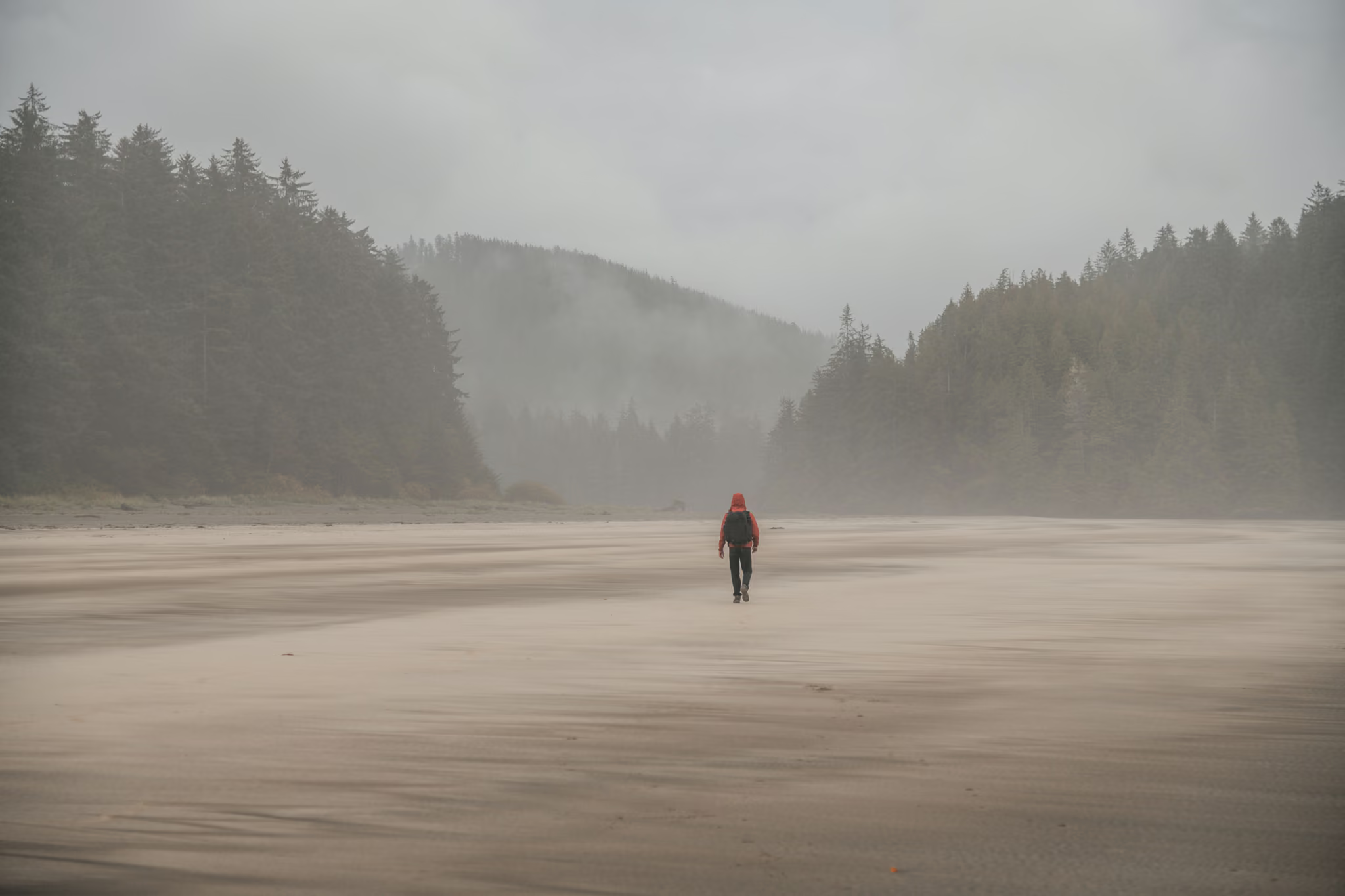
    The easiest genuinely remote beach in British Columbia, and the difficulty is entirely in the 64 km of shot rock you drive to reach it - budget two hours for that road and carry a real spare.

    5 km · 10 m · hiked Jun 2026

  • Sea to Sky·Easy

    Shannon Falls

    Not a hike, and nobody should pretend otherwise - but a 335 m waterfall ten minutes from your car is a fair trade for the parking-lot chaos, and the connector to the Chief is the real reason to park here.

    1 km · 45 m · hiked Jun 2026

  • 3.5 km

    Sea to Sky·Easy

    Smoke Bluffs Park, Squamish

    Not a hiking destination pretending to be modest - a climbing park with a good short loop threaded through it, and the walk is better if you understand you are the guest.

    3.5 km · 210 m · hiked Jun 2026

  • 11 km

    North Shore·Moderate

    St Mark's Summit

    The best full-day hike reachable from Vancouver without a ferry or a forest service road, and worth every one of the 460 metres. Just do not go on a Saturday, and do not go in winter unless you own a transceiver and know how to read a slope.

    11 km · 460 m · hiked Jun 2026

  • 3 km

    Fraser Valley·Easy

    Steelhead Falls, Mission

    The rare waterfall hike that is honestly easy rather than easy-with-an-asterisk, and it is best in the wet months everyone else writes off.

    3 km · 75 m · hiked Jun 2026

  • 9.2 km

    Sunshine Coast·Moderate

    Tin Hat Mountain

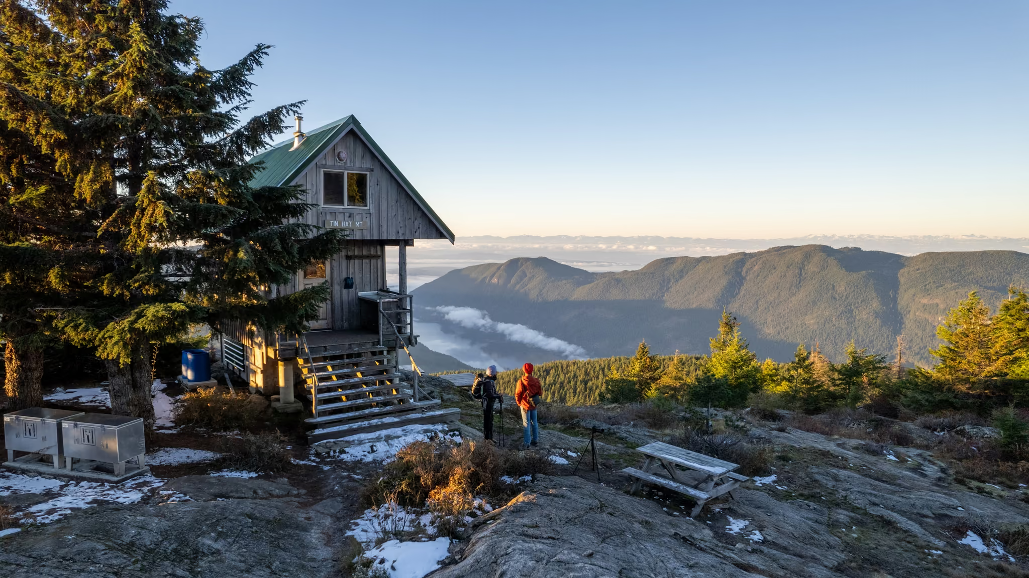
    The best value overnight in British Columbia - a free winterized hut with a pellet stove at the halfway point of Canada's longest hut-to-hut trail, and you carry every drop of water you will drink.

    9.2 km · 587 m · hiked Jun 2026

  • 13.5 km

    Sea to Sky·Hard

    Unnecessary Mountain

    A brutally honest name attached to a genuinely excellent summit - go over Unnecessary for its own sake and you get the Lions view without the Lions crowd or the Lions scramble.

    13.5 km · 1,300 m · hiked Jun 2026

  • 8 km

    Elsewhere in BC·Easy

    Woodland Falls and Sawblade Falls, Coquitlam

    Two waterfalls for three hours of easy walking and no fee, as long as you accept that the first one is a warm-up and the second one is the hike - and that the signage will not help you tell them apart.

    8 km · 180 m · hiked Jun 2026

  • 22 km

    Garibaldi Park·Hard

    Elfin Lakes in Winter

    The most accessible real winter backcountry objective near Vancouver, and the one most often underestimated - 22 km round trip, a marked route through terrain that punishes you the moment you leave it.

    22 km · 600 m · hiked Mar 2026

  • 10 km

    Whistler & Pemberton·Hard

    Joffre Lakes in Winter

    The lakes are better in February than in August and the crowd is a fraction of the size, but you trade a queue for real avalanche exposure, a snowbound road, and a lot that fills at first light anyway.

    10 km · 400 m · hiked Mar 2026

  • 5 km

    North Shore·Easy

    Dog Mountain Snowshoe

    The best return on effort of any winter trail near Vancouver - 90 minutes of easy snowshoeing buys you a bluff-top view of the whole city, and it costs nothing but a free day-use pass.

    5 km · 160 m · hiked Feb 2026

  • 22 km

    Garibaldi Park·Very hard

    Garibaldi Lake in Winter

    A 22 km winter day with roughly a kilometre of climbing, no hut at the end and no pass required to attempt it, which is exactly why it catches out parties who did it in July and assumed February would be the same trail with snow on it.

    22 km · 975 m · hiked Feb 2026

  • 7.5 km

    North Shore·Moderate

    Hollyburn Mountain Snowshoe

    The North Shore's best summit-for-effort snowshoe - a real 440 m climb to a genuine peak, free of charge, but the top half is rated Challenging avalanche terrain and deserves a forecast check every time.

    7.5 km · 440 m · hiked Jan 2026