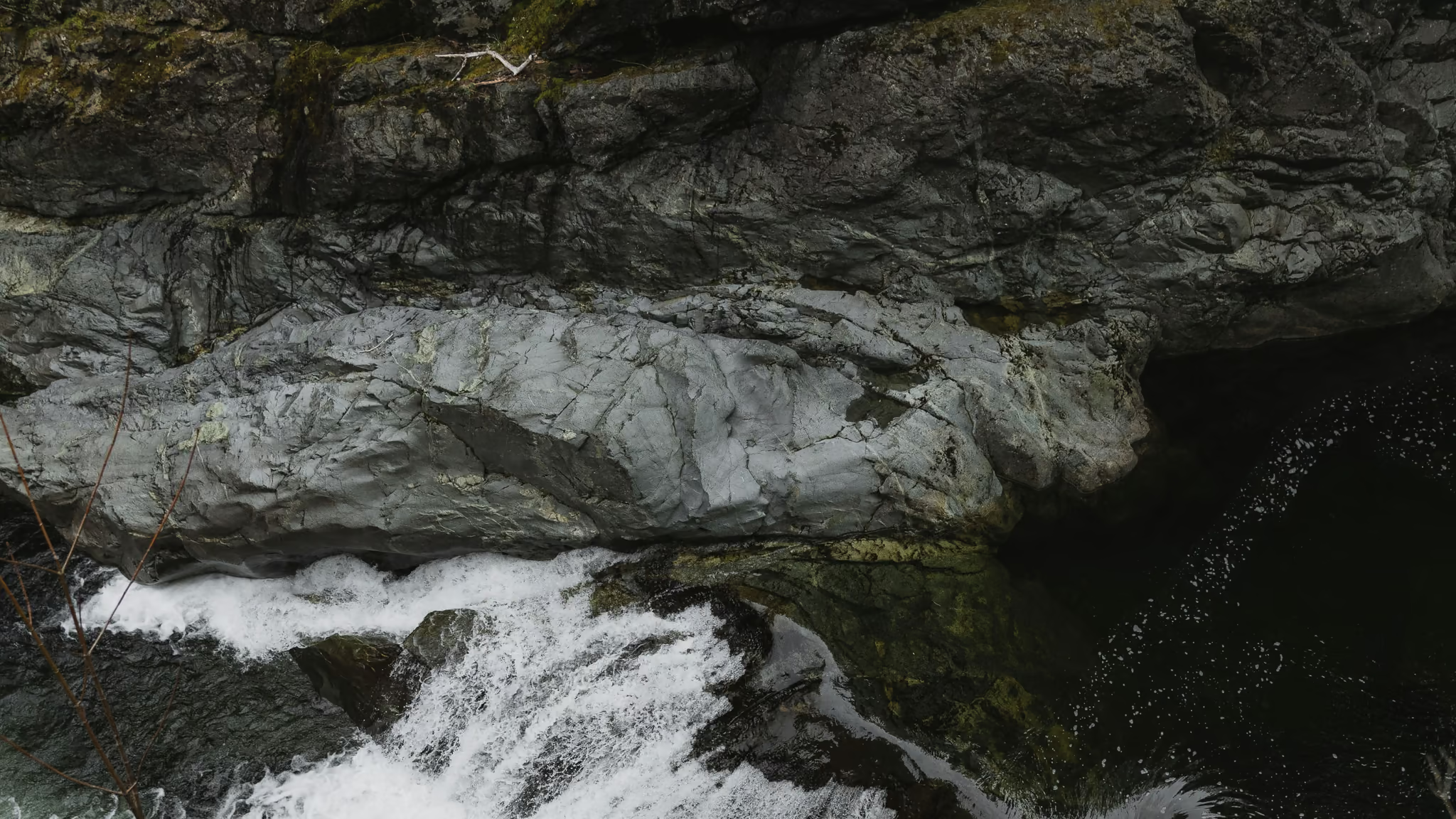
Sooke Potholes: River Gorge, Summer Parking Fees, and a Viewpoint You Should Not Swim
The best short river walk near Sooke, and a swimming day if you pick the beaches - not if you pick the potholes viewpoint. Stay back from that edge. The water there is the subject, not the entry.
·
Quick facts
- Distance
- 4 km
- Elevation gain
- 80 m
- Highest point
- 120 m
- Difficulty
- Easy
- Time needed
- 1-3 hours
- Route type
- Out and back
- Season
- Year-round for walking. Swimming season is summer, which is also when Lots 1 to 3 charge for parking and fill before midday. The river is a different place after autumn rain.
- Drive from Vancouver
- 4 h
- Transit accessible
- No
- Dog friendly
- Yes
- Pass or permit
- Fee requiredNo admission. CRD pay parking at Lots 1, 2 and 3 from 1 May to 30 September: $2 for two hours, $5 per day, or a $40 season pass that also covers Thetis Lake. ZipBy app or the machines. Free 1 October to 30 April. Dogs on leash. Park hours are sunrise to sunset.
- Last hiked
- Traditional territory
- T'Sou-ke Nation territory. The Sooke River has been a salmon river and a living place here long before it was a regional park, and the gateway artwork is not decoration.
On this page4 sections
Sooke Potholes is a Capital Regional District park on the Sooke River, not a provincial park, which is why the parking machines and the ZipBy app show up in summer. It is a swimming destination with a gorge attached, or a gorge walk with swimming attached, depending on the month.
I walked it on 6 April 2024 in flat grey light with the river up. No towels. That is the water in these pictures. A midsummer Saturday at Crescent Beach is a different park that happens to share a road.
The potholes that gave the park its name are sculpted rock and moving water at the upstream viewpoint. They photograph as a dark slot with a white drop. They are not a swimming hole. Undercurrents and the drop have a record. Look, stay back, walk somewhere else to get in the river.
Getting there
Ferry to Swartz Bay, then a drive through Victoria to Sooke and up Sooke River Road. From Vancouver that is a sailing plus a lot of Island pavement, which is why the drive time on this page looks like a trip rather than an outing. Pair it with the Galloping Goose, downtown Sooke, or a west-shore loop. Do not treat it as a Vancouver evening.
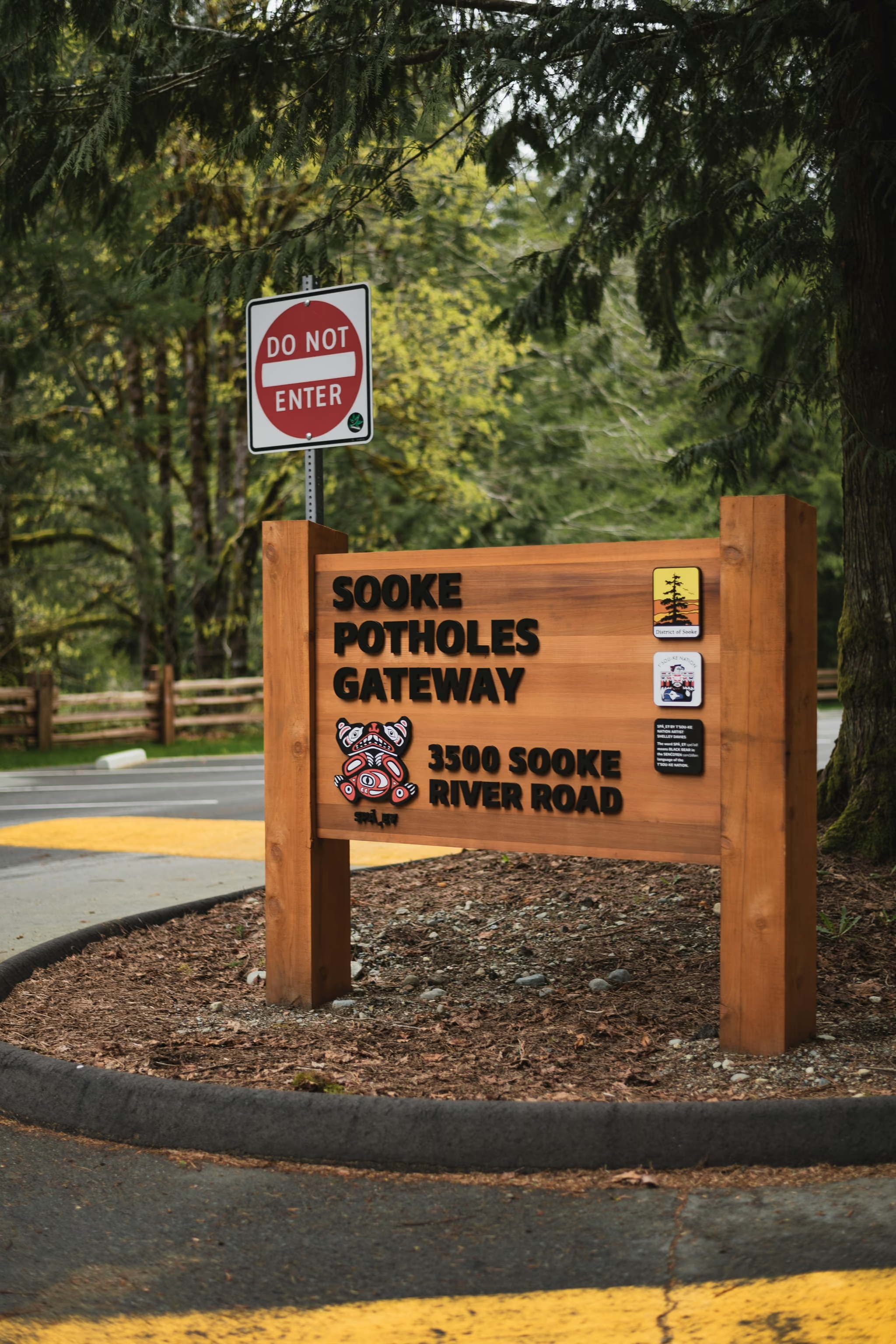
One road in: Sooke River Road north from Sooke. Gateway at 3500 Sooke River Road, then Lots 1, 2 and 3 along the river. Lot 1 for Crescent Beach swimming. Lot 2 if you want the trail network without a long uphill from the beach. Lot 3 if the potholes viewpoint is the whole stop. A $5 day pass covers all three from 1 May to 30 September. I was there in April, so parking was free. Arrive early in July anyway. They fill.
The walk
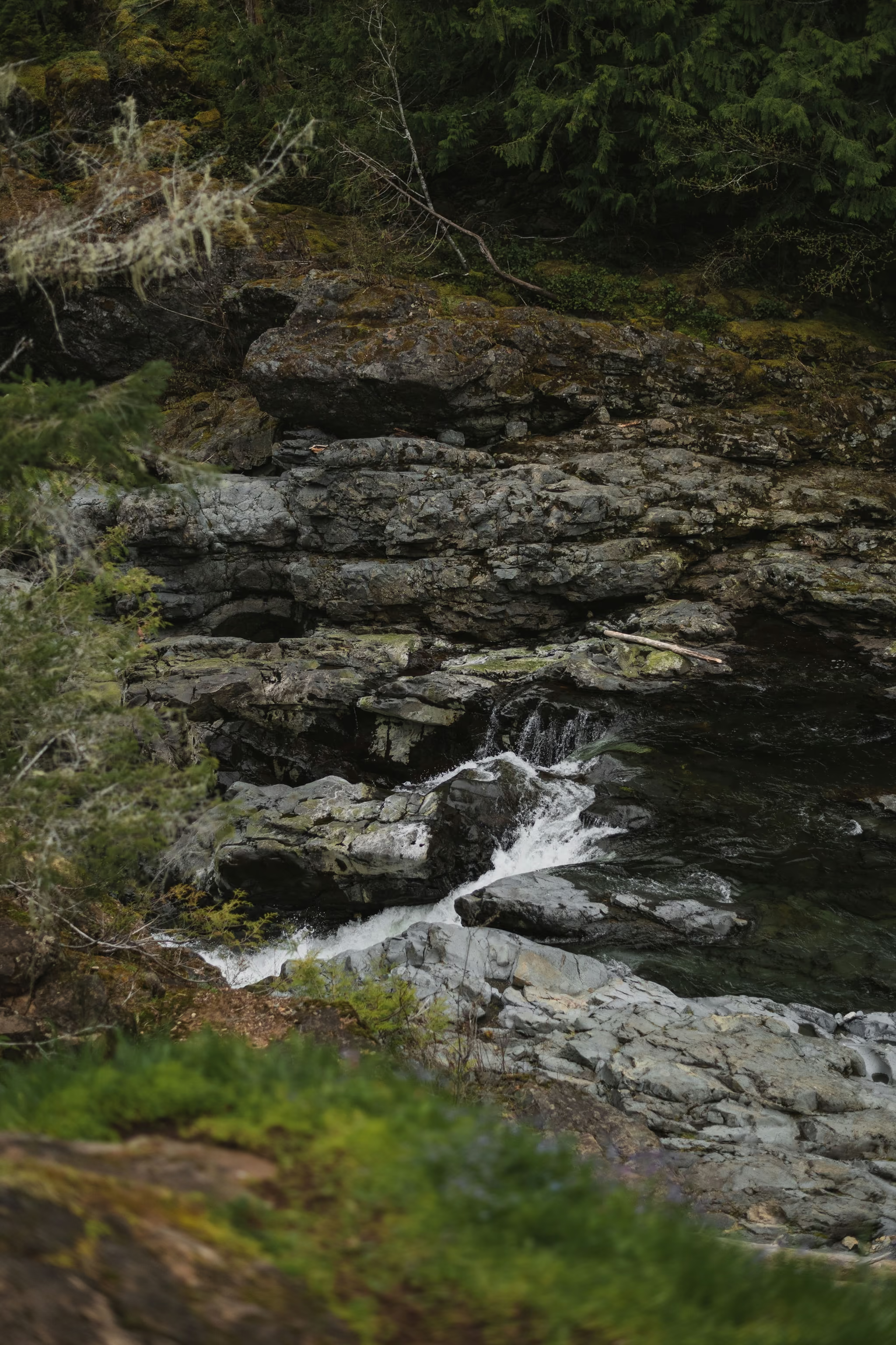
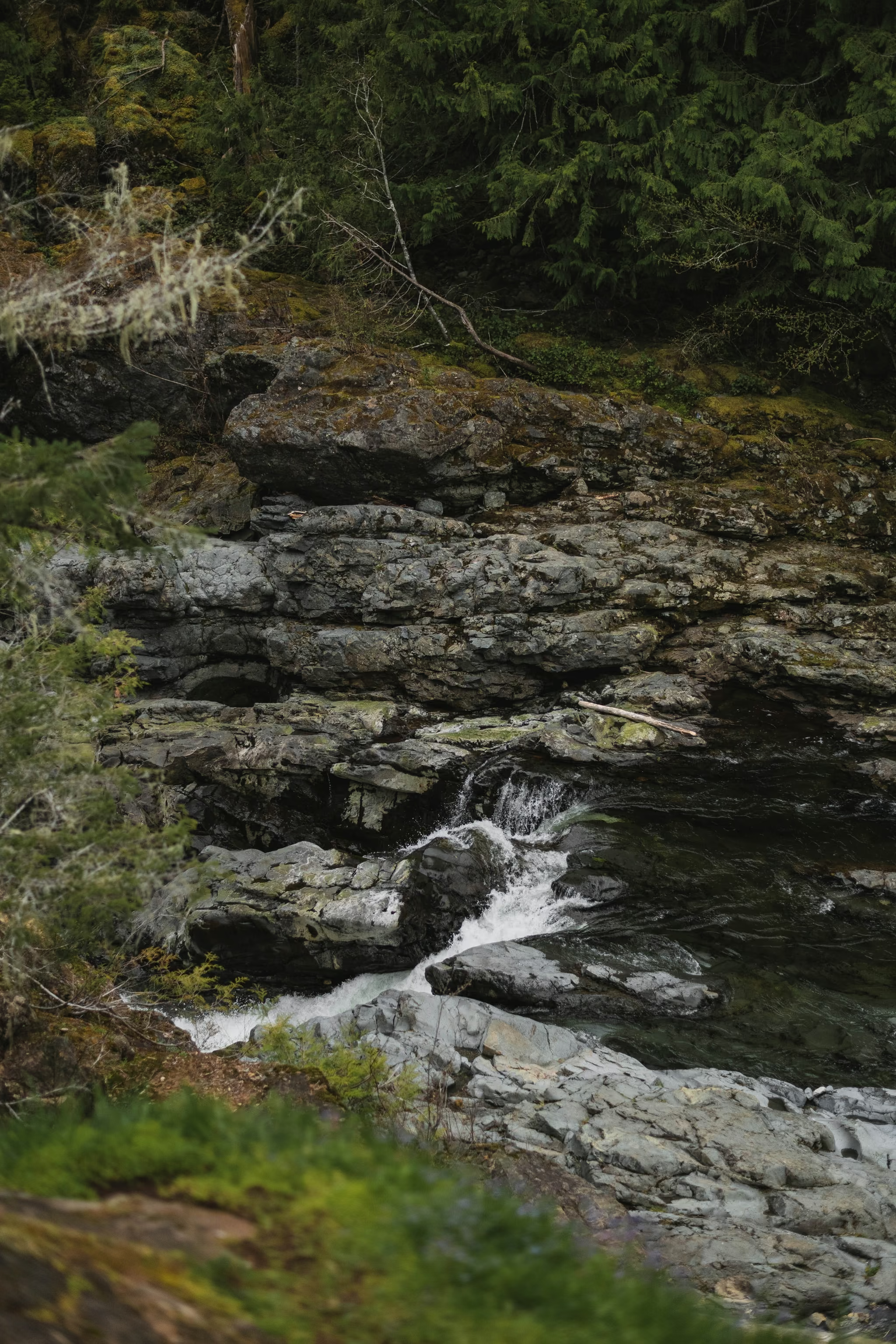
The riverside trail is easy, roots and short stairs, with more privacy as you go upriver. Leave the towels behind at Lot 1 and keep walking.
Spring Salmon Place (KWL-UCHUN) Campground at the north end is first-come in season, 67 sites, separate from the day-use lots. You do not need it for the gorge.
The potholes
The viewpoint is the reason the park has this name. Shoot down the slot. Stay on the trail. The rock is wet, the drop is real, and the river does not care that the walk in felt easy.
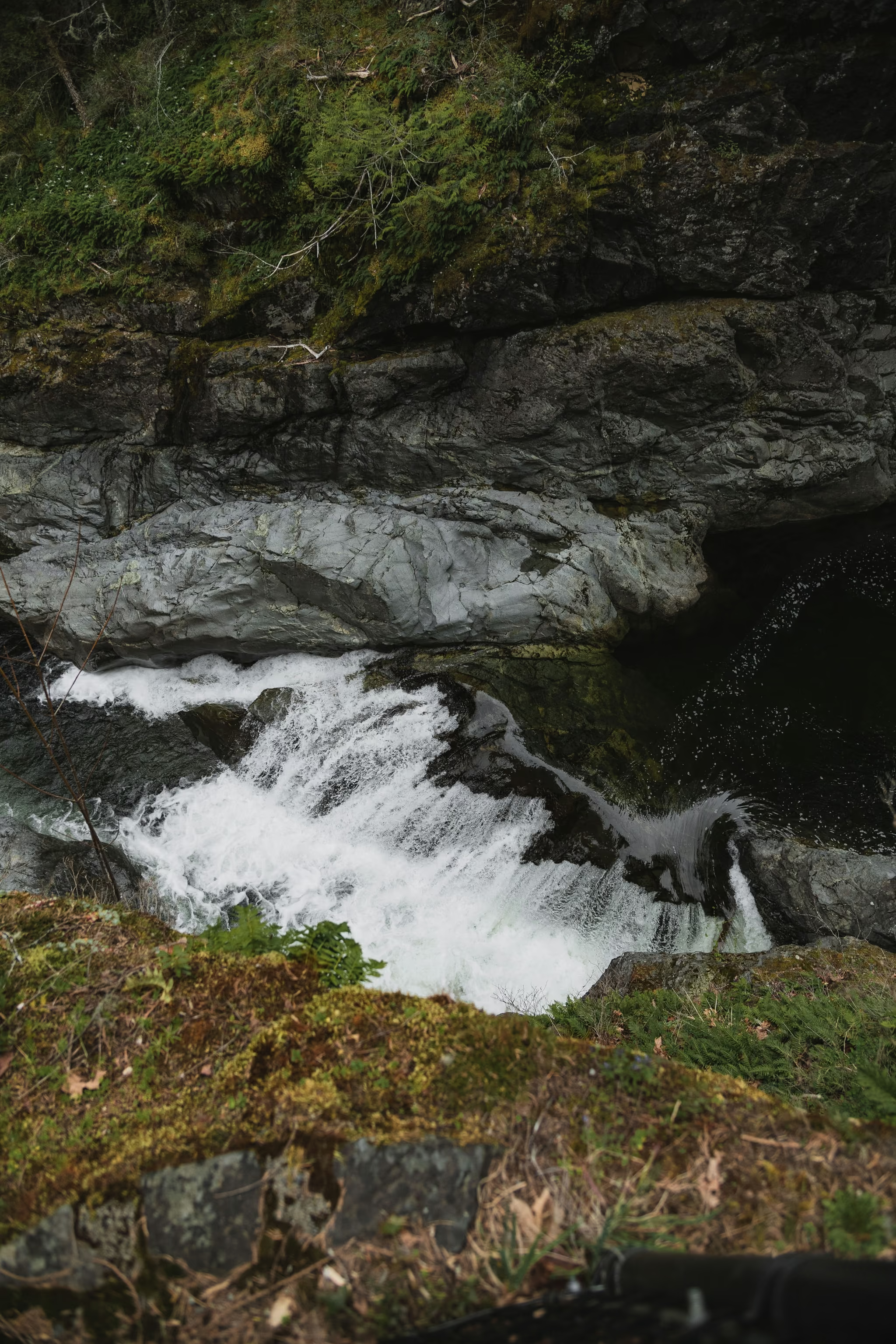
Crescent Beach at Lot 1 is the swimming answer. This is the walking one.
The photograph
This is a polariser-and-overcast river gorge, not a sunrise alpine. Shoot down the notch, keep the moss, keep the steps in the water. Vertical frames of a single chute, or a 16:9 crop across the rock into the pool. The gateway sign is a useful establishing frame if you are writing the trip as a Sooke day rather than as a secret pool.
Dogs on leash. Park hours are sunrise to sunset.
Overcast, river high, gorge loud, no towels. Walked from the gateway up to the potholes viewpoint. A dry August at Crescent Beach will not look like this.
Reported by Parveen Singh
My BC trail kit and A7 IV settings
What is in my bag on a BC hike and why, plus the A7 IV settings I start from for each kind of scene. Confirm your email and it lands in your inbox, then one letter a month after the hike.
By signing up you agree to receive emails from psingh.ca. One letter a month, and you can unsubscribe any time.
Shooting this trail
Photography notes
- Best light
- Overcast for the gorge. The potholes are a dark rock slot with white water. Sun from above turns the pool into a hole. April grey is the light on this page. Summer swimming light is a different assignment: people, towels, glare.
- Best season
- April and May for water in the gorge without the parking lottery. July and August for swimming at Crescent Beach, which is a different photograph and a different crowd.
- Compositions
- From the potholes viewpoint looking down at 24-35mm. Keep your feet on the trail. The drop is the picture.
- Riverside rapids at 50mm, moss and wet rock, 1/4 to 1 second. Isolate one chute.
- The gateway sign as an establishing frame if the piece is a Sooke day rather than a single pool.
- Gear
- Polariser. Tripod only where the deck or trail is stable and you are not blocking the only viewpoint. Do not set a leg on a sloping wet shelf above the potholes. The water under that viewpoint is not a place to recover a dropped filter.