San Josef Bay: A 2.5 km Walk at the End of 64 km of Gravel
The easiest genuinely remote beach in British Columbia, and the difficulty is entirely in the 64 km of shot rock you drive to reach it - budget two hours for that road and carry a real spare.
·
Quick facts
- Distance
- 5 km
- Elevation gain
- 10 m
- Difficulty
- Easy
- Time needed
- 1.5-2.5 hours
- Route type
- Out and back
- Season
- May through September is the practical season, and it is when BC Parks collects camping fees. July and August are warmest, busiest and foggiest. The park is open year round but this coast gets torrential rain that can last for days at any time of year, and outside a short peak-season contract there is no regular staff presence.
- Drive from Vancouver
- 11 h
- Transit accessible
- No
- Dog friendly
- Yes
- Pass or permit
- Permit requiredDay hiking to the beach is free. Camping is not: Cape Scott is one of a handful of parks on BC Parks' reduced backcountry rate of $10 per adult per night, $5 for youth 6 to 15, free under 6, collected May through September. There is a $20 non-resident surcharge listed for 2026 that I could not independently confirm the scope of, so budget for it. This is a permit, not a reservation. BC Parks does not limit backcountry permit numbers, they cannot sell out, and holding one does not reserve you a specific spot. Register online in advance at camping.bcparks.ca, or fill in the form at the self-registration station and put it in the drop box with your fee. Self-registration is cash only. Bring cash.
- Last hiked
- Traditional territory
- Tlatlasikwala First Nation territory - the descendants of the Tlatlasikwa̱la, Nakumgilisala and Yutlinuk peoples - with Quatsino First Nation also holding reserves inside Cape Scott Provincial Park, within the wider Kwakwaka'wakw world
On this page5 sections
The walk to San Josef Bay is 2.5 kilometres of wide gravel and boardwalk through rainforest, essentially flat, about 45 minutes. BC Parks publishes those numbers on the park map and they are accurate. A reasonably fit six-year-old can do it.
That is not the hard part of this trip and it is not what you should be planning around. The hard part is the 64 kilometres of logging road between Port Hardy and the trailhead, and if you get that wrong you do not get to the beach at all.
The road, which is the actual trail
Pavement ends at kilometre 3 of Holberg Road. Everything after that is gravel, and a large stretch of it is sharp shot rock that is notoriously hard on tires. Holberg sits 16 km from the trailhead and is the only settlement out there, with a pub and a general store and no fuel. Port Hardy is your last gas.
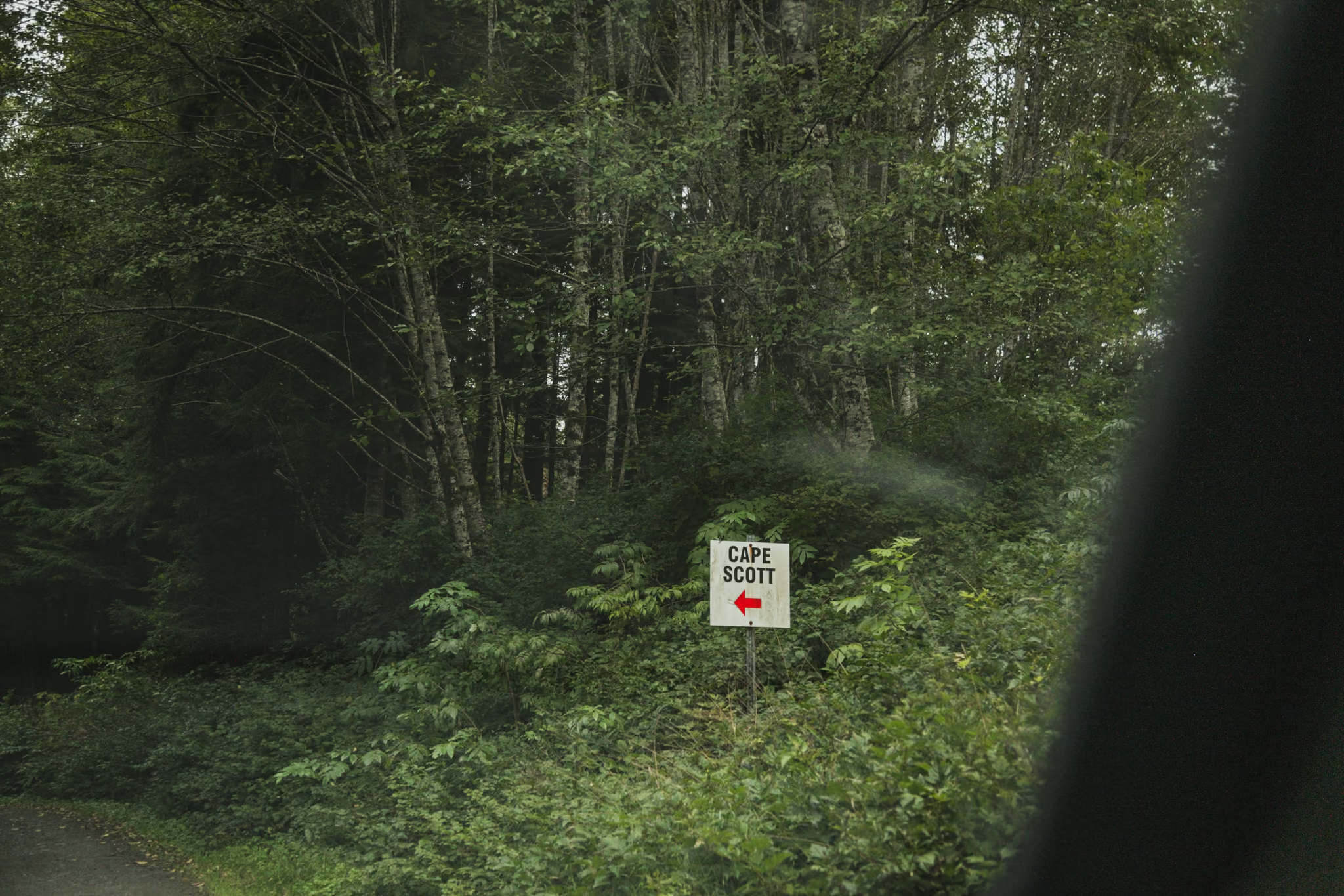
Do not budget an hour for this. A local operator who has guided the road for a decade puts it plainly: people assume an hour and the reality is two. Holberg to the trailhead alone is about 45 minutes.
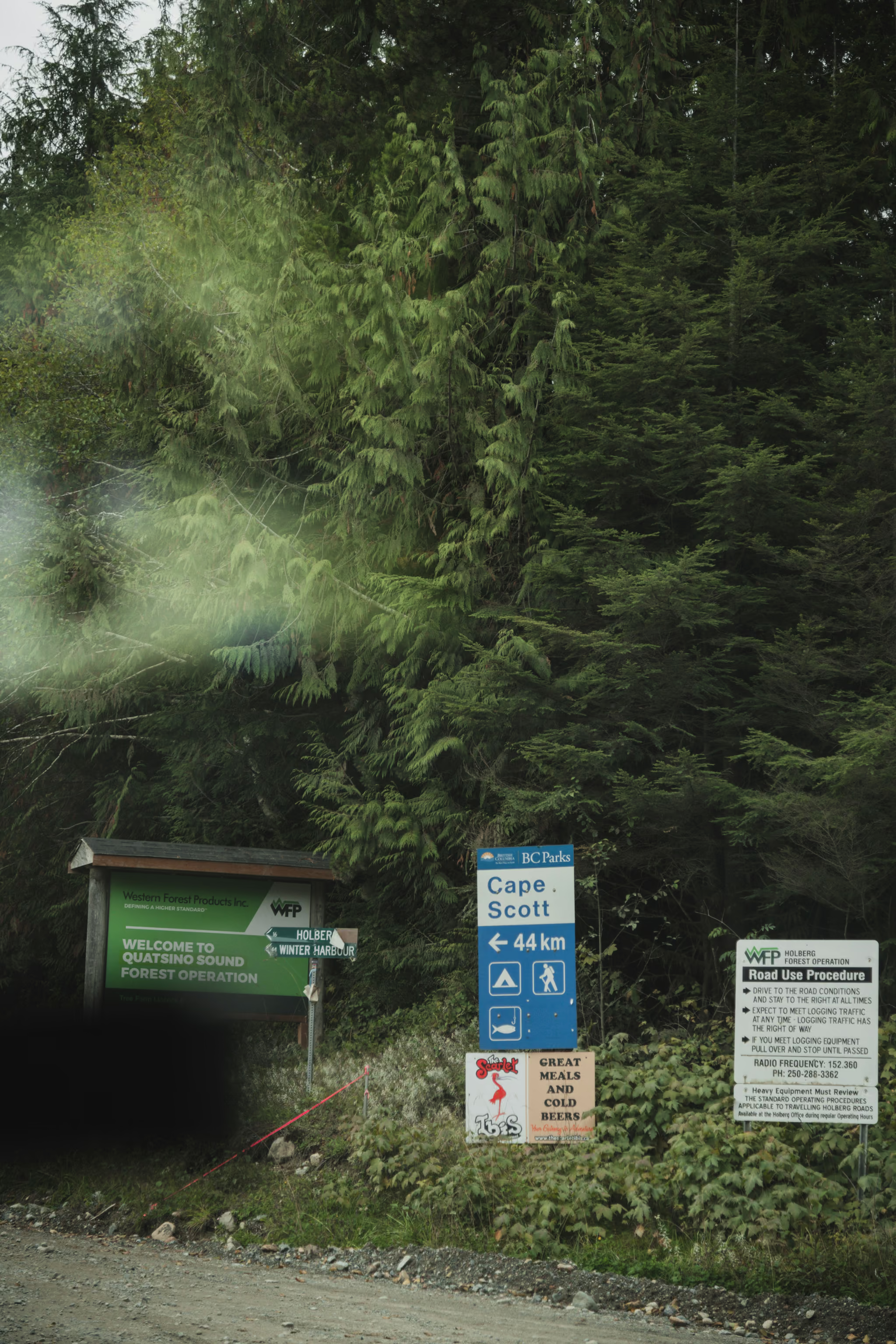
The binding constraint is tires, not drivetrain. Plenty of two-wheel-drive cars make it. What they do not survive is the shot rock, and the recommendation from people who run this road weekly is a minimum 8-ply tire, 10-ply preferred, plus a full-size spare. A typical passenger car runs 4-ply tires and a temporary donut. One operator reported roughly twenty shredded tires in June 2026 alone. A tow from the trailhead back to Port Hardy runs well over a thousand dollars.
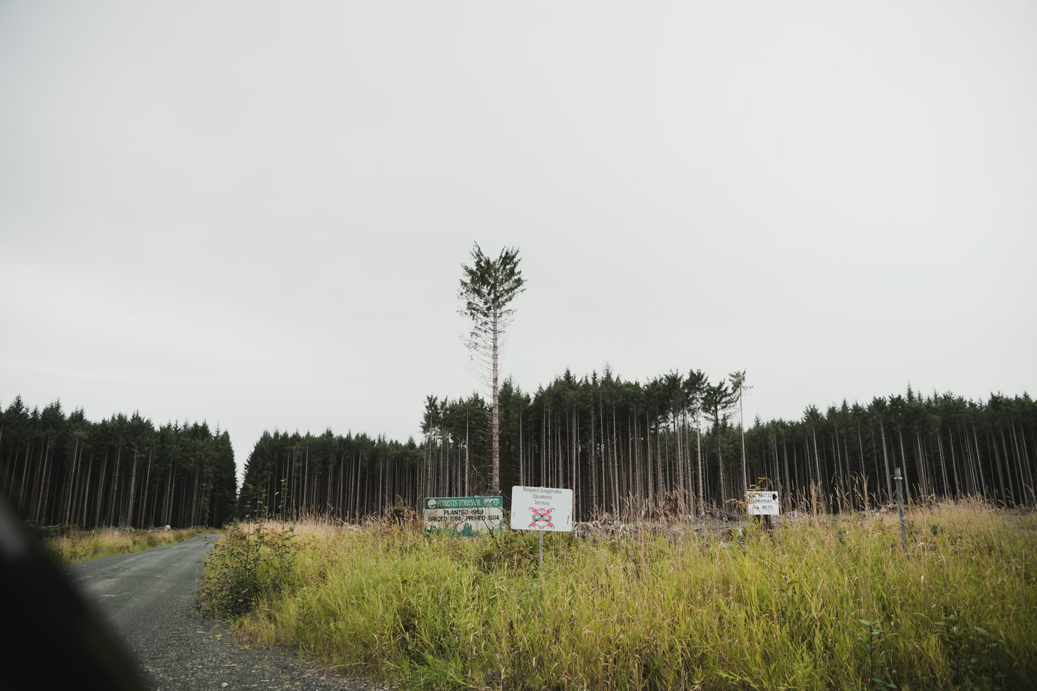
Two more things. Check your rental agreement, because rentals are widely reported to be prohibited past kilometre 3 and this is a real contract exclusion. And this is a radio-controlled road: as of mid-2026 the channels were RR 5 from Highway 19 to kilometre 30 of Holberg Road, and RR 21 from the Western Forest Products shop out to San Josef and Ronning Main. An older report cites a different channel, so read the sign at the road entrance. Without a radio you get no warning on blind corners, so keep headlights on, always yield to logging trucks, and know where the pullouts are.
There is no cell service past Port Hardy. Carry a satellite messenger.
The walk and the two beaches
From the lot it is a wide, well-built trail with boardwalk sections. BC Parks warns those boardwalks are extremely slippery when wet, and on this coast they are wet. There is no official elevation gain figure and none is needed. It is flat.
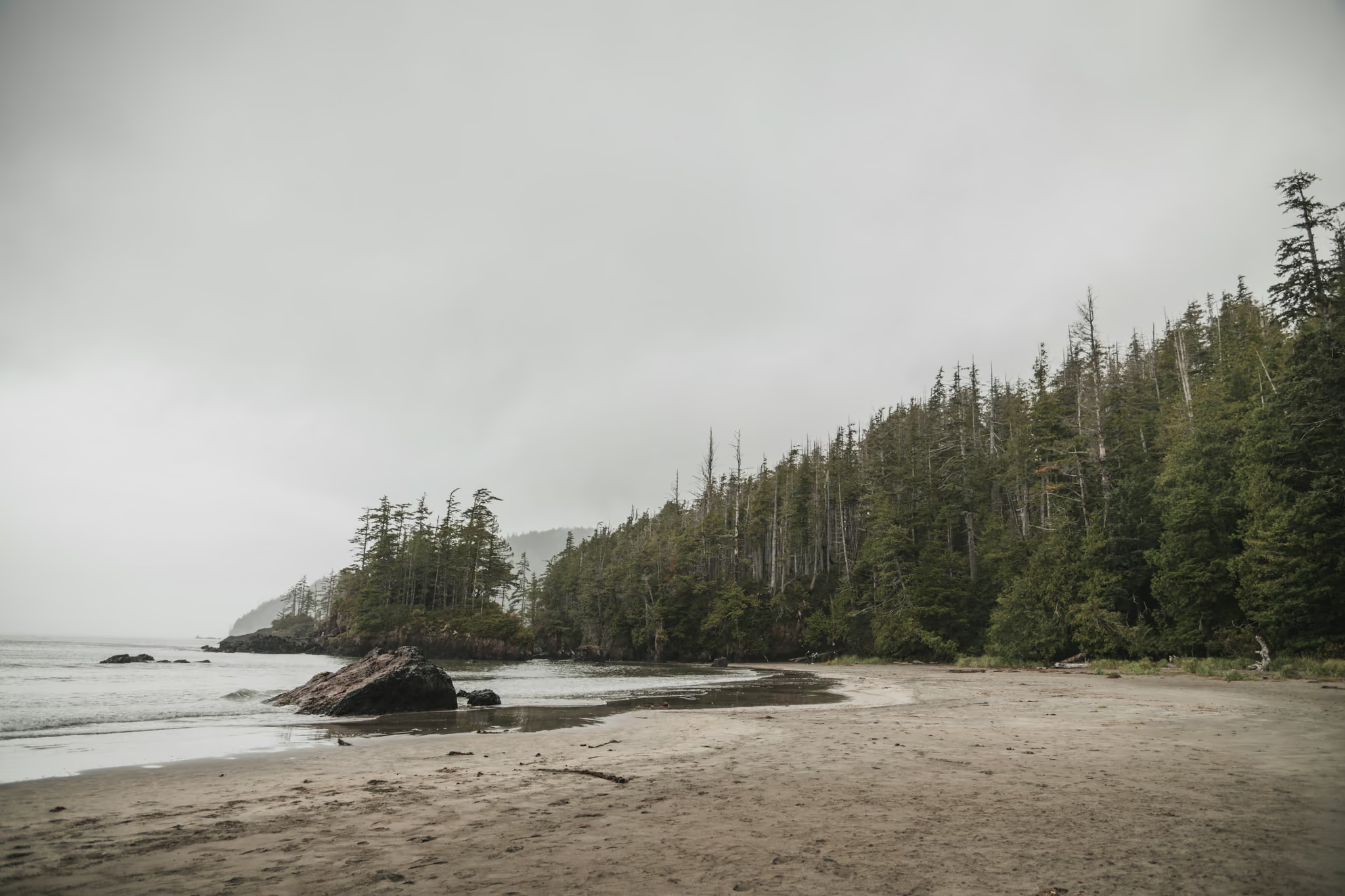
You come out onto first beach, which is where the camping facilities cluster and where most people stop.
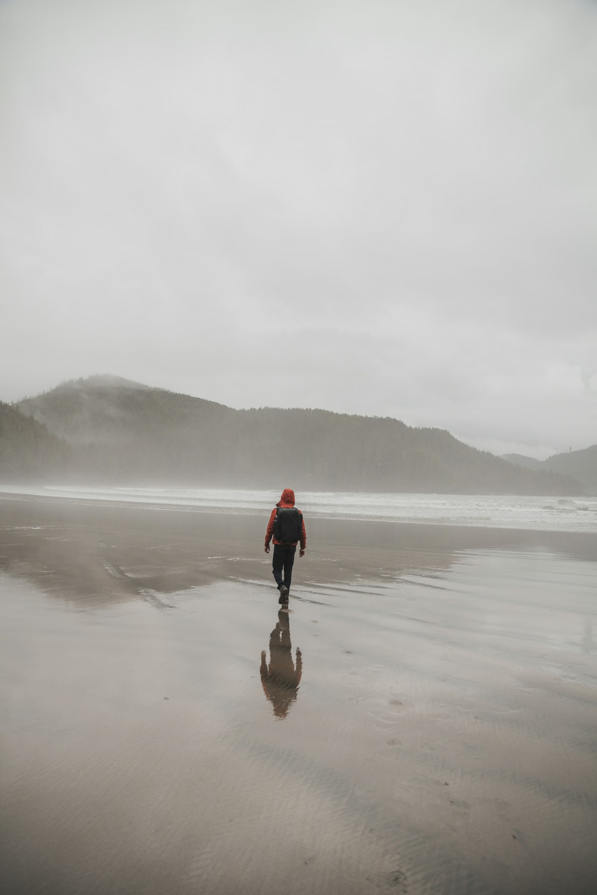
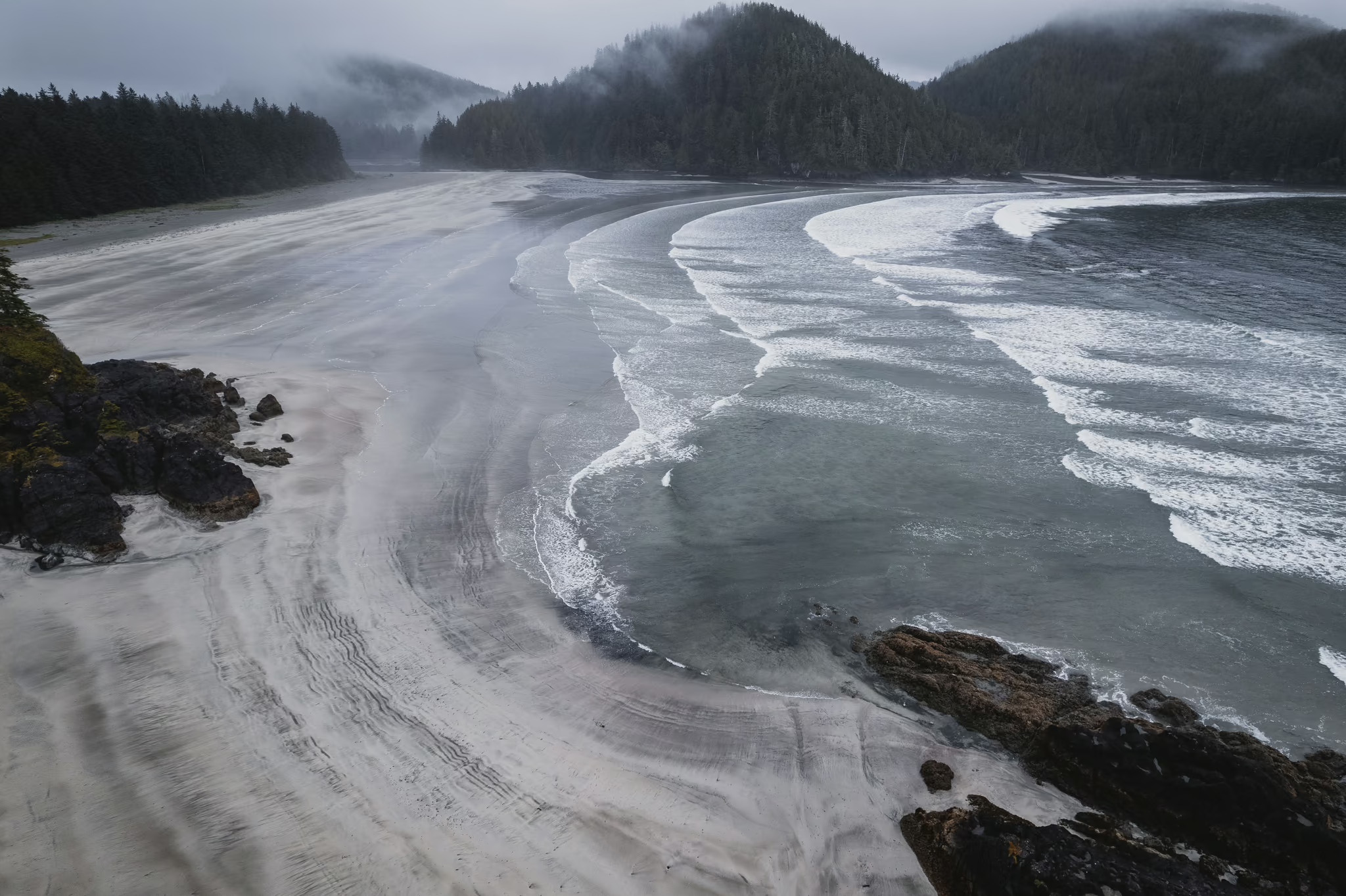
Second beach is the one with the sea stacks, and getting there is tide-dependent: you go around the headland at low water, or over it on a steep, rugged forest trail at high water. BC Parks marks the sea stacks and sea caves on its own map as accessible at low tide, and gives no threshold height. One reliable secondary source says under about two metres. Work from the actual tide table for the day rather than a rule of thumb, and pay attention to whether the tide is coming in while you are round the corner.
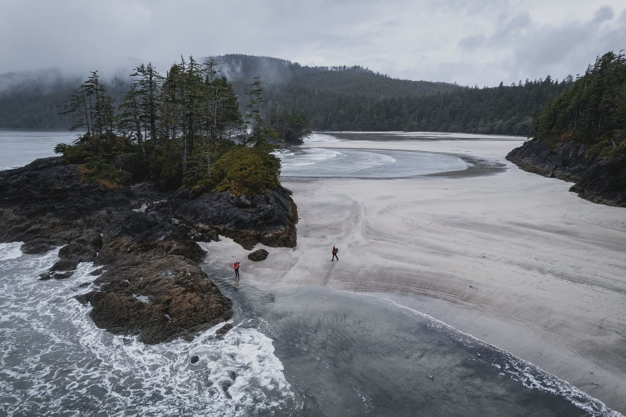
Second beach is quieter for exactly this reason. If you are camping and you want the stacks at first light, camp there.
Camping
Random wilderness camping is allowed, and BC Parks asks that you camp on the beach wherever possible. Roughly twenty to twenty-five spots sit back near the treeline on first beach, with more near second beach, all first-come. Journalism, not BC Parks, is the source of that count.
The permit system confuses people, so: you buy a backcountry permit, not a reservation. Permits are unlimited and cannot sell out, and having one does not entitle you to a particular spot. Register online in advance, or use the self-registration station at the trailhead, which is cash only.
Water is the thing to get right. The 2002 brochure says fresh water is available at most camp areas including San Josef Bay. The live BC Parks page says water sources are very limited. The reconciliation is that the San Josef River at first beach is tidal and brackish, and the reliable creek is on second beach a kilometre away and itself tide-gated. Carry your water in and treat a filter as backup. Do not count on the river.
Bear caches are provided, around eight metal ones in the forest behind first beach with more at second. Use them. This is black bear, cougar and wolf country, there is an active wolf advisory, and bears forage the shoreline at low tide, which is a good reason not to camp at the water line.
Facilities are pit toilets and nothing else. Bring your own paper. There is no garbage service.
Getting there, realistically
A ferry from the mainland to Nanaimo runs one hour forty to two hours depending on the route, plus terminal time. Nanaimo to Port Hardy is about 385 km and five to five and a half hours. Then the road above.
That is ten to twelve hours from Vancouver, and it is my arithmetic rather than a published figure. This is not a one-day push. Sleep in Port Hardy or Holberg and drive the logging road in full daylight with fresh eyes.
Dogs, drones, and the rain
Dogs are permitted at San Josef Bay and nowhere else in Cape Scott Provincial Park, leashed, with you responsible for waste. That is the current BC Parks position and it supersedes the older brochure. Given the wolf advisory I would think hard about it anyway.
Drones are strictly illegal in all BC provincial parks without a park use permit.
On rain: you will read that this coast gets 500 centimetres a year. That number comes from settler-era narrative in an old brochure, not from a measured normal. Environment Canada's 1991 to 2020 figures for Port Hardy Airport are 1,910 mm across 218 precipitation days, wettest in November and driest in July. It is genuinely wet, just not mythologically so. What BC Parks says and means is that the need to be prepared for adverse weather here cannot be overemphasized, and that torrential rain can arrive at any time and last for days.
Trail easy and flat year round; boardwalks slippery when wet. The variables are the Holberg logging road, the tide window between first and second beach, and water. Visits have roughly doubled in three years since the beach appeared on a world's-best list, and both trailhead campgrounds filled on 2025 long weekends. BC Parks has an active wolf advisory and reports bears breaking into parked vehicles.
Reported by BC Parks Cape Scott advisories and 2026 local road reports
Trail notes from the field
One email a month: what is melting out, what is snowed in, and where the light is good right now. Written after the hike, not before it.
By subscribing you agree to receive occasional emails from psingh.ca. No spam, no selling your address, unsubscribe any time.
Shooting this trail
Photography notes
- Best light
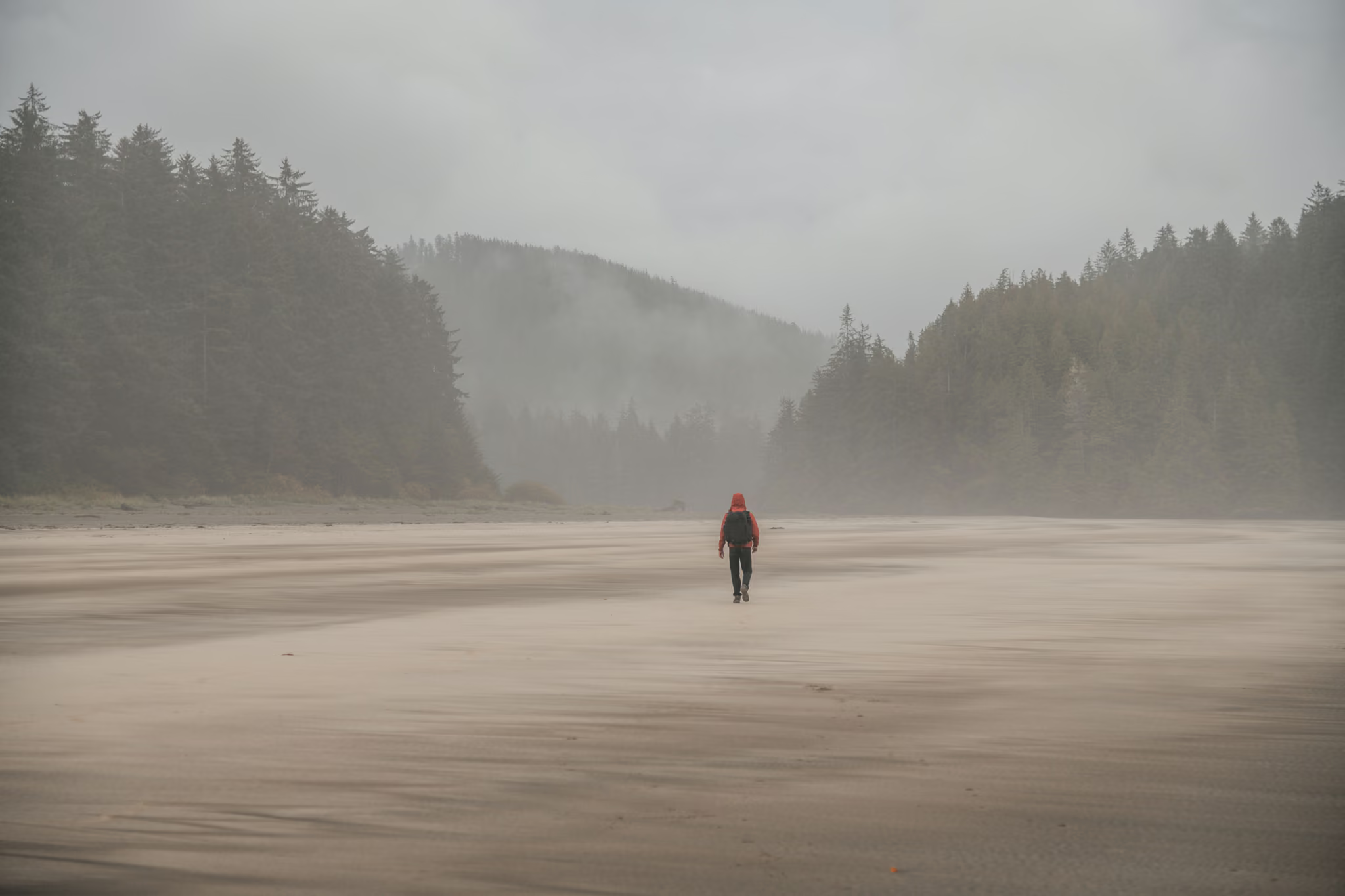
- Fog is the light here, and you should plan for it rather than around it. San Josef faces roughly southwest into the open Pacific and July and August carry a real fog risk, which on this beach is a gift: the sea stacks separate into flat grey planes, the headlands stack into receding tones, and the whole scene reduces to shape. Clear evenings give you a straightforward sunset over water with the stacks silhouetted, which is the postcard and worth having. The genuinely rare condition is low sun burning through thinning fog an hour before sunset, when the stacks light up and the air behind them stays soft. If you are camping, you get first light on an empty beach, and on this coast that is the whole reason to carry the tent.
- Best season
- June through September. July and August for fog and warmth, September for the cleanest air, the lowest crowds and the best odds of a clear sunset. Winter light is superb and the road and weather make it a serious undertaking.
- Compositions
- The sea stacks between first and second beach at low tide, 24-35mm, from low down with wet sand reflecting them. This is the signature frame of the north island and the entire question is tide: they are only reachable around the headland at low water, so you are working to a tide table, not to a light schedule. Get there early and let the light come to you.
- Long exposure on the stacks, 30 seconds to two minutes at f/11 with a 6 or 10 stop ND. The Pacific here has enough swell to turn to mist and enough fog to flatten the sky, which is exactly the combination long exposure was invented for. Bring a tripod you trust in wet sand and push the legs down until they stop moving.
- The beach as a study in emptiness, 35-50mm, with a single figure small in the frame for scale. The bay is wide enough that a person at 200 metres reads as a mark rather than a subject, and that is the point. Shoot it in fog and resist the urge to fill the frame.
- The rainforest on the walk in, 24-35mm, on an overcast day or in rain. Dense moss, cedar and salal in flat light is the most reliably good photography on this trip and almost nobody stops for it because they are walking to the beach. The trail junction signage makes a good anchor.
- Astro from the beach. You are about as far from a city light dome as it is possible to get in southern BC. The catch is that clear nights are the exception, so treat this as a bonus you take if the sky gives it to you, not a plan.
- Gear
- Everything here gets wet and salty. Bring more lens cloths than you think, rinse tripod legs in fresh water before the salt sets, and carry a dry bag for the body. A 6 or 10 stop ND and a solid tripod are the two items that change what you can make on this beach. Sand plus wind plus spray means changing lenses on the beach is a bad habit, so pick a lens and commit for the session. Power is worth thinking about: there is no electricity for days and cold damp nights eat batteries. Drones are strictly illegal in all BC provincial parks without permission, and this one has an active wolf advisory, so leave it at home.