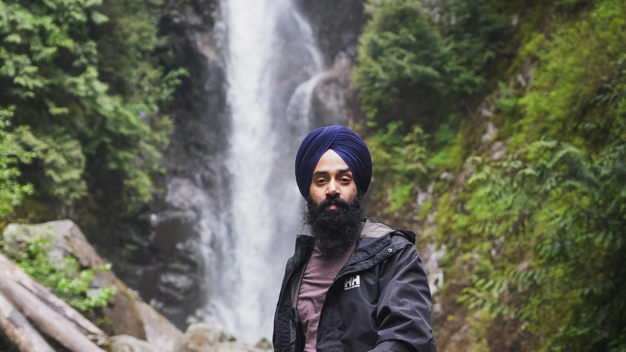
Norvan Falls: 14 km Of Flat Forest For A Waterfall That Is Smaller Than You Expect
The North Shore's best long walk in bad weather - 14 km of old-growth stumps, moss and creek noise, ending at a waterfall that is honestly quite small and completely beside the point.
·
Quick facts
- Distance
- 14 km
- Elevation gain
- 195 m
- Difficulty
- Moderate
- Time needed
- 4.5-5.5 hours
- Route type
- Out and back
- Season
- Year-round in principle and this is one of the few North Shore trails where that is true. The trail stays low the whole way and snow is rarely the limiting factor. Water is - the creek crossings and the mud are what decide whether this is a good day, and after heavy rain the answer is no.
- Drive from Vancouver
- 40 min
- Transit accessible
- Yes
- Dog friendly
- Yes
- Pass or permit
- No pass requiredNo fee, no pass, no reservation, and specifically no BC Parks day-use pass, because Lynn Headwaters is a Metro Vancouver regional park rather than a provincial one. What it has instead of a pass is a sign-in board, and using it is the closest thing to a requirement on this trail.
- Last hiked
- Traditional territory
- səlilwətaɬ (Tsleil-Waututh) and Sḵwx̱wú7mesh Úxwumixw (Squamish) territory, with overlapping xʷməθkʷəy̓əm (Musqueam) territory
On this page4 sections
Norvan Falls is a small waterfall at the end of a long walk, and the sooner you accept that framing the more you will enjoy the day. The numbers sound gentle: 14 kilometres return, 195 metres of gain, about five hours, almost no climbing. What they do not carry is that this is 14 kilometres of rooted, rocky, frequently muddy valley-bottom trail, and that the second half is nothing like the first. People set off in trainers on the strength of "195 metres of gain" and come back having had a much bigger day than they planned. It is not a hard hike. It is a long one.
The route
From the parking lot you cross the Lynn Creek Bridge to a map and a registration board. Sign in. Take the tear-off half and deposit it on your way out. This is not a formality: Metro Vancouver's brochure says people are rescued from this park every year, and cell phones usually do not work here. The board is how anyone knows to look for you.
Turn left and follow the creek. The first 1.7 kilometres is a wide gravel road, part of the lower Lynn Loop, busy with dog walkers and joggers. Past the junction the trail narrows into the Cedars Mill Trail: stream crossings, root steps, pools of mud, groves of second-growth cedar. This valley was logged in the early 1900s and the evidence is everywhere - springboard-notched stumps, an old logging cart with a tree growing out of it, rusted saw blades.
At about 4 kilometres the forest opens into the Third Debris Chute, a clearing of rock and rushing water with Goat Mountain standing over it. This is the one place with any sense of scale, and the natural turn-around if you have run out of day. Head up the rocky debris to the signpost, turn left, and enter the forest on the Headwaters Trail.
The next 2.6 kilometres is where the mud lives. In wet months it is a genuine slog, and the moss on the forest floor and hanging off the branches is the best of the hike.
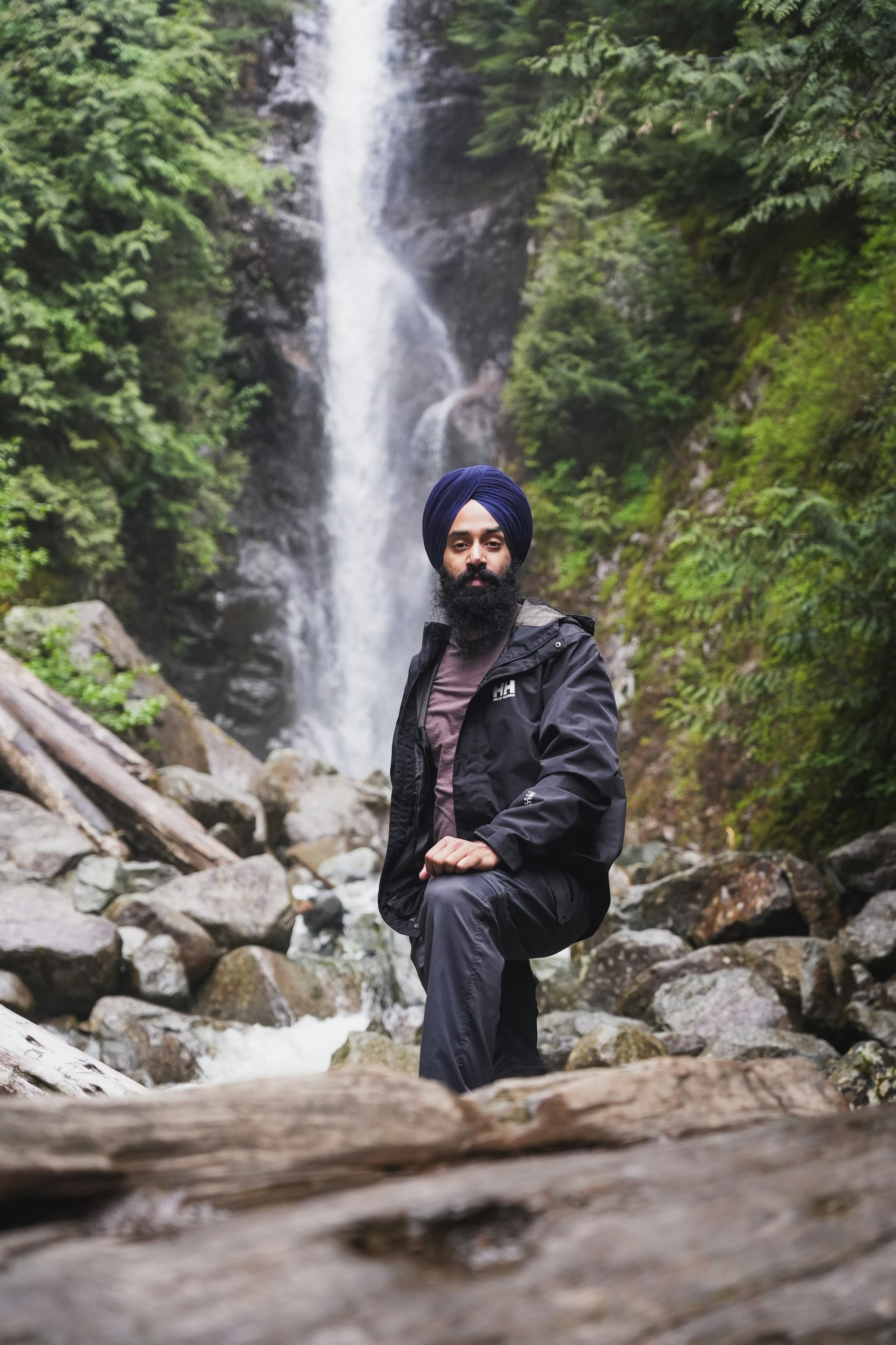
You will hear the water before you see it. As Norvan Creek appears, a rugged steel suspension bridge crosses it on your left. Do not cross it if the falls are your objective. Go right, follow the creek up a few hundred metres, and the falls come into view through the trees. Backtrack a few steps for the path down to the rocky creek edge, which is the best view and the obvious lunch spot.
Mud, and the return option
The mud is the defining feature for about eight months of the year. Between October and May the Cedars Mill and Headwaters sections hold standing water in long stretches, churned deep enough by traffic that it is not superficial. Waterproof boots and gaiters transform this hike. Trail runners do not.
On the way back, at the debris chute, you have a choice. Go right and down over the rocks to retrace the riverside trail, which is faster and what most people do. Or go left and stay high on the Headwaters Trail for about 2 km to a viewpoint of Mount Fromme, then down and right back to the Lynn Loop. The high option is better walking. Take it if you have daylight and the legs.
Parking, the gate, and the 2026 situation
Lynn Headwaters fills early. On a sunny weekend the lots are gone well before 9am, and 2026 is tighter than usual because Metro Vancouver has closed the paved lot to support construction. Gravel lots and roadside spaces remain, with overflow about 500 m back down the road.
The gate matters more than the parking. The park is usually open 7am to dusk, the closing time is posted on the gate, the earliest closing is 5pm, and the gate to the parking area is locked at closing. For a five-hour hike this is a real constraint from October through March. Read the posted time when you arrive and work backwards.
Note also that the Baden-Powell staircase from Lynn Valley Road is closed for replacement for around six months, so any route relying on it is off.
Dogs, and transit
Lynn Headwaters is unusual among regional parks in having both leash-required and leash-optional trails, designated on the map and on signs rather than by blanket rule. Consult them. Along the Lynn Creek corridor the practical expectation is a leash or genuinely reliable voice control. Waste goes in the bear-proof bins at the trailhead.
This is also one of the longer hikes in the Lower Mainland you can do without a car. SeaBus to Lonsdale Quay, then the 228 up Lynn Valley Road, off near the end of the route around Dempsey. The bus turns at the hairpin, so you walk the remaining narrow road down to the yellow gate, half an hour or so with no sidewalk in places. Adding an hour of road walking to a 14 km hike is not nothing, but it removes the parking problem entirely, and on a July Saturday when the lots filled at 8:30am that is not a consolation prize.
On drones: Lynn Headwaters is a Metro Vancouver regional park, so the blanket BC Parks prohibition covering Cypress and Seymour does not automatically apply. I tried to verify Metro Vancouver's actual rule and could not. Their permits page never mentions aircraft, and the park brochure's detailed prohibitions section does not either. That is a gap in published information, not permission. Ask Metro Vancouver, and remember Transport Canada's rules apply wherever you stand.
At the falls in overcast light. The drop was small and the moss was the photograph. Walked the valley to the creek edge. Sign in. Watch the gate.
Reported by Parveen Singh
Trail notes from the field
One email a month: what is melting out, what is snowed in, and where the light is good right now. Written after the hike, not before it.
By subscribing you agree to receive occasional emails from psingh.ca. No spam, no selling your address, unsubscribe any time.
Shooting this trail
Photography notes
- Best light
- Overcast and wet, without qualification. The whole route is under canopy in a deep valley, so a sunny day gives you blown patches of sky through the trees and a contrast range that ruins every frame - the classic North Shore rainforest problem. A grey drizzling day at 11am produces even, saturated light on moss and wet bark and is the single best condition for this trail. The falls themselves sit in a shaded gully and hold usable light most of the day. Do not plan around sunrise or sunset here; you cannot see either one, and darkness comes fast in the valley, which Metro Vancouver warns about in the park brochure.
- Best season
- October and November: high water in Norvan Creek, deep saturated moss, and the trail busy but not crowded. April is the other good window. In late summer the falls thin noticeably and the trail is at its dustiest and most popular, which is the worst of both.
- Compositions
- Norvan Falls from the rocky creek edge at 24-35mm, at 1/4 to 1 second. The fall is small and slots into a rock cleft, so a wide lens with the creek boulders as foreground reads better than a tight crop. Past two seconds the water flattens into white paste and the drop loses its shape.
- The suspension bridge over Norvan Creek at 35mm from the near bank, with the cables leading into forest. Most people cross it or ignore it; as a subject it is the most distinctive built thing on the trail.
- Old-growth stumps with springboard notches along the Cedars Mill Trail, 50mm, on a wet day. These are hundred-year-old logging scars and they are everywhere once you start looking. Photographically this is the richest section of the hike and it has no waterfall in it at all.
- The debris chute at 4 km, 24mm, looking up at Goat Mountain over the rubble and rushing water. It is the only place on the route where the canopy opens and you get scale, so it is worth shooting even in flat light.
- Gear
- Tripod plus polariser plus a 3-stop ND covers everything here, and the polariser matters most - wet leaves and wet rock throw a lot of specular glare and cutting it is what makes the greens go deep. Pack for rain on the camera as well as on you: this trail is at its best in exactly the weather that kills electronics. Fourteen kilometres is a long way to carry a heavy kit for one small waterfall, so be honest with yourself about which lens you will actually use. Cell phones usually do not work in the park, so an offline map and a satellite communicator are worth more than a second body.