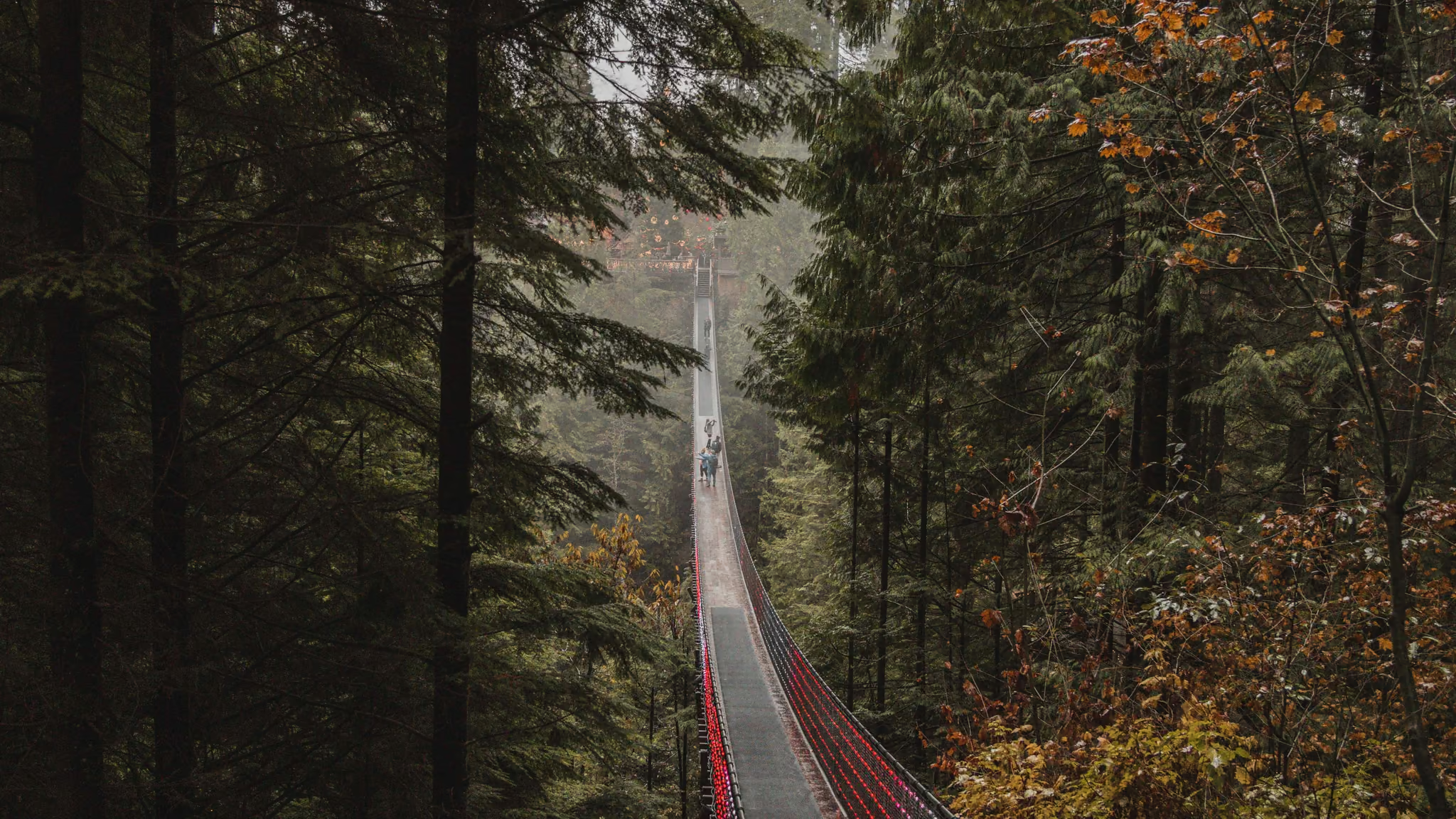
North Shore
The mountains you can see from downtown Vancouver - Cypress, Grouse, Mount Seymour and the ridges between them. Thirty to fifty minutes from the city, snow-covered five months of the year, and the region where most Vancouver hikers learn what winter actually asks of them.
5 trail guides · 40 min from Vancouver
The North Shore is the reason Vancouver has the outdoor reputation it does. Three mountains rise directly out of the water on the north side of Burrard Inlet, the highest trailheads sit above 900 metres, and you can be on snow forty minutes after leaving a downtown office. There is nowhere else in Canada where a major city touches real subalpine terrain this abruptly.
That abruptness is also the problem. The elevation that makes these trails good in winter is the same elevation that catches people out: it is raining at sea level and dumping snow at the trailhead, the parking lot is at 1,000 metres, and the difference between a pleasant afternoon and a search-and-rescue callout is often just daylight and a wrong turn out of a busy lot. North Shore Rescue is the busiest SAR team in Canada, and it is not because the terrain is extreme.
What the region is good for
Winter, mostly. Cypress and Mount Seymour hold reliable snow from December through March at trailhead elevation, and both have short, marked routes that work well on snowshoes. Dog Mountain and Hollyburn Mountain are the two I send people to first and second respectively.
Short days and bad weather. The low-elevation trails - Quarry Rock, Lynn Canyon, the Baden Powell corridor - stay snow-free most winters and work as rain-day options when the alpine is a whiteout.
Sunset over the city. The whole region faces south into Vancouver. That geometry is not an accident of the photographs you have seen; it is why nearly every viewpoint here is a sunset viewpoint rather than a sunrise one.
Access notes
There is no TransLink service to either Cypress or Mount Seymour trailheads. Both operate private or resort shuttles in winter, both of which need booking. Deep Cove and Lynn Canyon are properly transit-served.
Mount Seymour Provincial Park requires a free BC Parks day-use vehicle pass for the backcountry lots on winter weekends and through the holidays. Cypress Provincial Park does not require a day pass at all, though the resort operates its own paid parking and paid trail networks alongside the free BC Parks trails, which causes endless confusion. Winter tires are legally required on the access roads from October.
Drones are prohibited in all BC provincial parks, which covers Cypress, Mount Seymour and Lynn Headwaters.
Seasons
| Season | Reality |
|---|---|
| Dec-Mar | Snow at trailhead elevation. Snowshoes, not microspikes. Short days - headlamp always. |
| Apr-May | The worst window. Rotten snow above 800 m, mud below it. |
| Jun-Oct | Full alpine access; the high ridges and the Howe Sound Crest Trail come into condition from July. |
| Nov | Transitional and genuinely unpleasant - enough snow to hide the trail, not enough to travel on. |
North Shore trail guides
Every guide below is a trail I have personally hiked, with the date I was last there on the page.
 North Shore
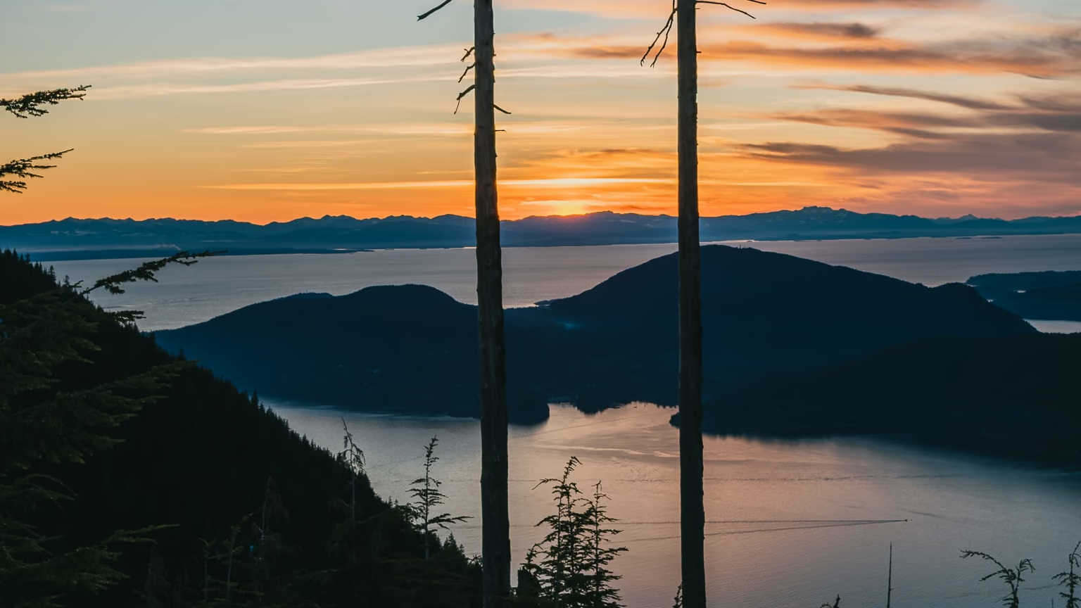
Bowen Lookout, Cypress: The Easiest Sunset Over Howe Sound
The best sunset-to-effort ratio in Cypress Provincial Park, and the one winter route out of the Cypress Bowl that a beginner can do honestly. Two hours, a hundred metres of climbing, and the sun going down over Howe Sound.
- Distance: 4 km
- Elevation gain: 110 m
- Difficulty: Easy
 North ShoreReservation required: Reservation
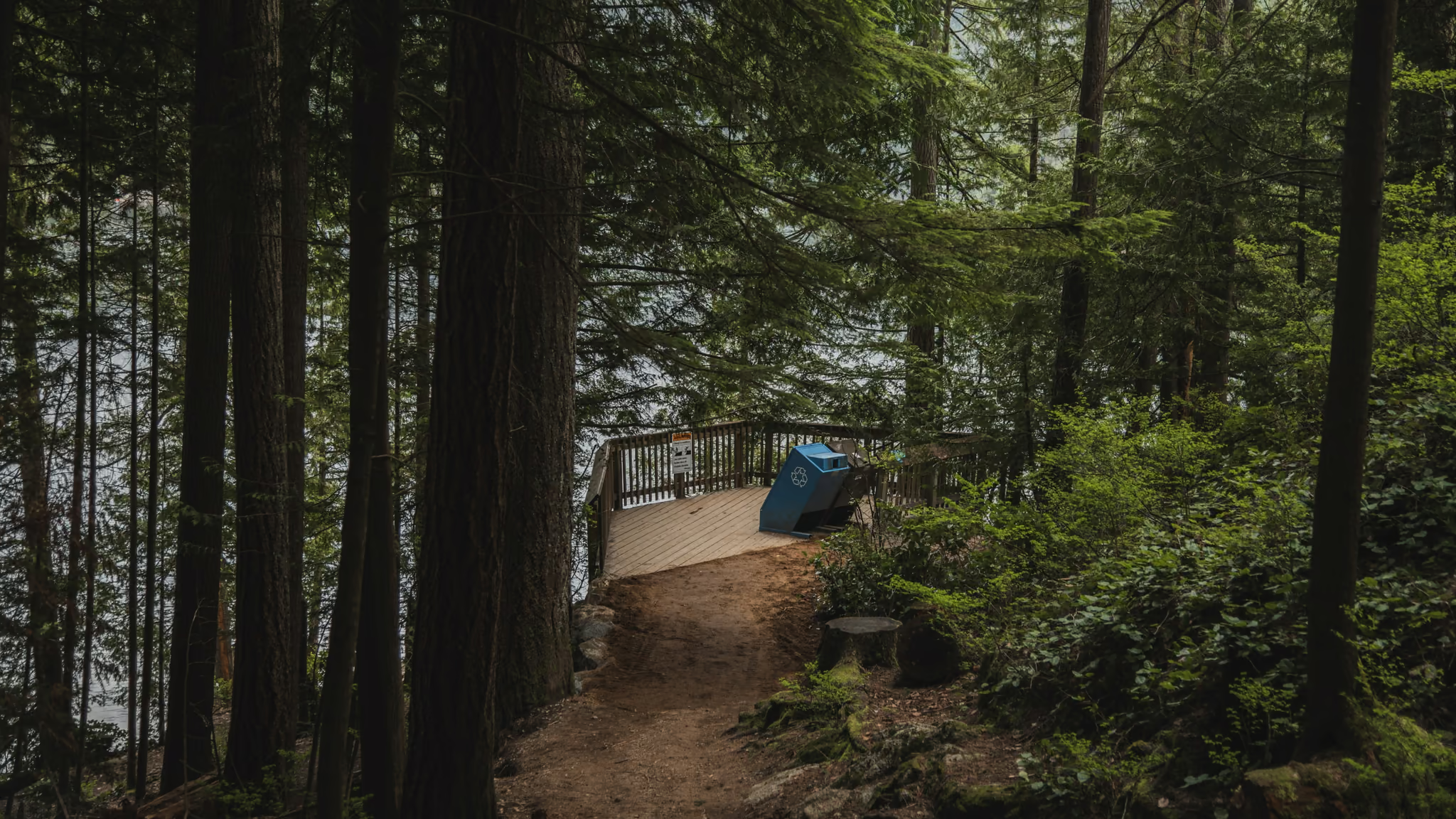
Buntzen Lake: The Anmore Loop That Needs a Parking Pass in Summer
The closest proper lake loop to Vancouver that is not a mountain, and the one that will ruin your morning if you drive to Anmore in July without a QR code. Book the pass the day before. Then it is an honest forest walk with swimming if you want it.
- Distance: 10 km
- Elevation gain: 110 m
- Difficulty: Moderate
 North Shore
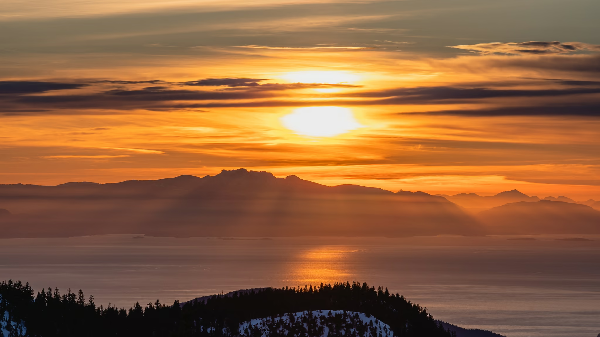
Hollyburn Mountain Snowshoe: Cypress's Classic Winter Summit
The North Shore's best summit-for-effort snowshoe - a real 440 m climb to a genuine peak, free of charge, but the top half is rated Challenging avalanche terrain and deserves a forecast check every time.
- Distance: 7.5 km
- Elevation gain: 440 m
- Difficulty: Moderate
 North ShoreFee required: Fee
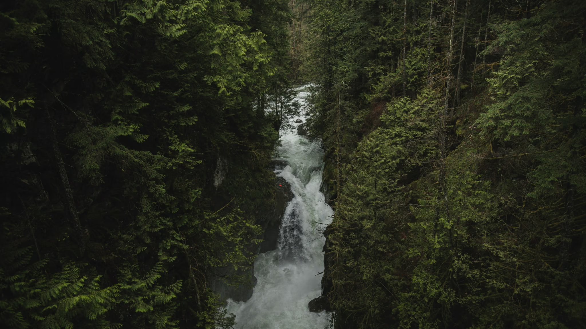
Lynn Canyon: The Free Suspension Bridge, Twin Falls, and a Paid Lot
The North Shore canyon you can actually walk without buying a timed ticket - a free suspension bridge, Twin Falls, stairs, and a lot that costs $3 an hour in the busy season. Come for the gorge. Stay off the wet rock at the pools.
- Distance: 2.5 km
- Elevation gain: 100 m
- Difficulty: Easy
 North Shore
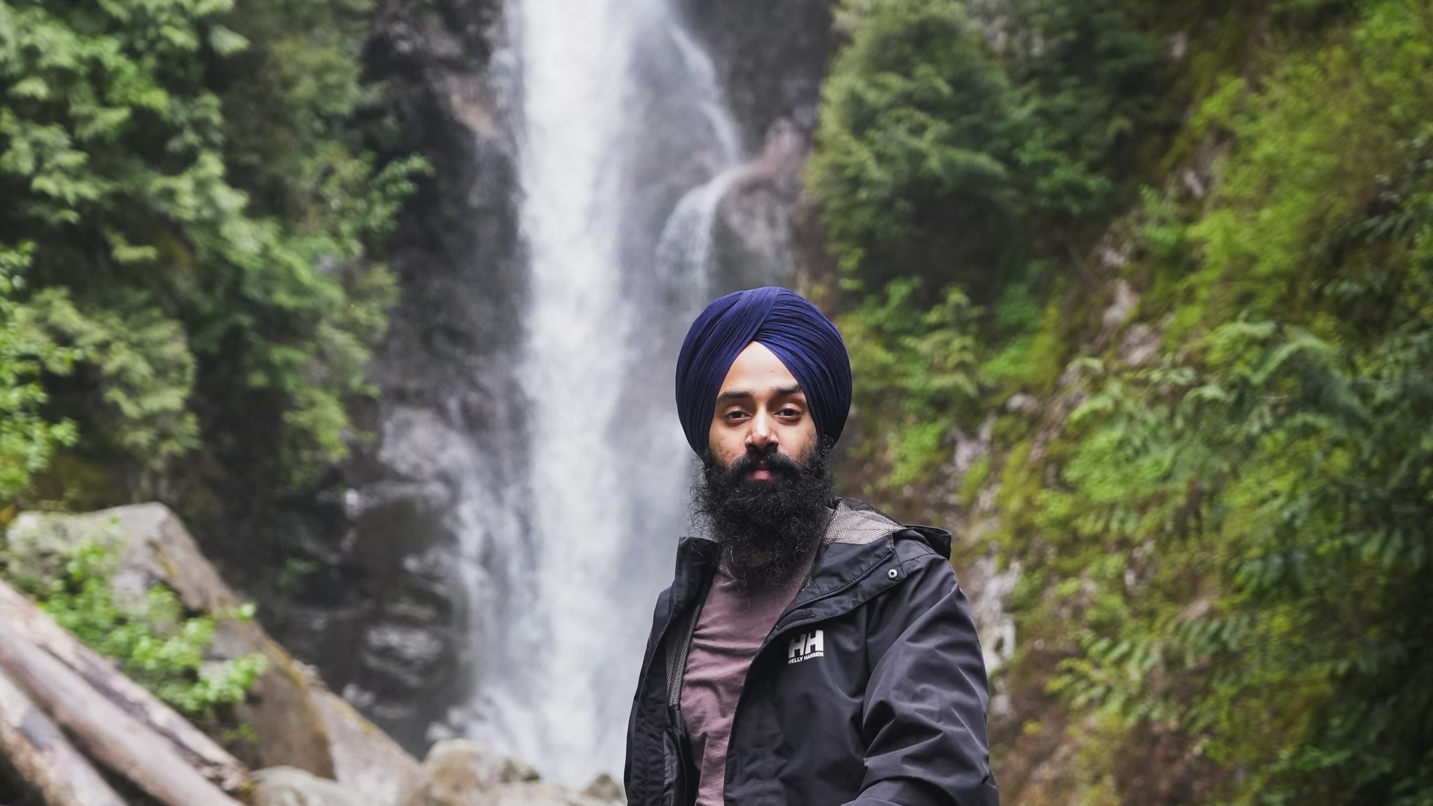
Norvan Falls: 14 km Of Flat Forest For A Waterfall That Is Smaller Than You Expect
The North Shore's best long walk in bad weather - 14 km of old-growth stumps, moss and creek noise, ending at a waterfall that is honestly quite small and completely beside the point.
- Distance: 14 km
- Elevation gain: 195 m
- Difficulty: Moderate