Hollyburn Mountain Snowshoe: Cypress's Classic Winter Summit
The North Shore's best summit-for-effort snowshoe - a real 440 m climb to a genuine peak, free of charge, but the top half is rated Challenging avalanche terrain and deserves a forecast check every time.
·
Quick facts
- Distance
- 7.5 km
- Elevation gain
- 440 m
- Highest point
- 1,326 m
- Difficulty
- Moderate
- Time needed
- 3-4 hours
- Route type
- Out and back
- Season
- Snowshoe season roughly November to May; a hiking trail July to October. Shoulder months are ice and rotten snow - the worst of both.
- Drive from Vancouver
- 40 min
- Transit accessible
- No
- Dog friendly
- Yes
- Pass or permit
- No pass requiredNo BC Parks day pass is required for Cypress Provincial Park, and the Hollyburn Mountain summit trail itself is free - you do not need a Nordic or snowshoe pass to climb it. Cypress Mountain sells passes for its own separate groomed cross-country and marked snowshoe networks in the same area, which is where the confusion comes from. Parking is free in BC Parks' year-round areas, but the resort may implement pay parking in some lots between November 1 and May 31, so check before you drive up.
- Last hiked
- Traditional territory
- Sḵwx̱wú7mesh Úxwumixw (Squamish), səlilwətaɬ (Tsleil-Waututh) and xʷməθkʷəy̓əm (Musqueam) territory
On this page3 sections
Hollyburn is the trail I recommend to people who have done Dog Mountain twice and want to know what comes next. It is roughly three times the climbing, it ends on an actual summit rather than a viewpoint, and it is still free. It is also the point at which a North Shore snowshoe stops being a walk in the woods and starts requiring you to think about avalanche conditions, which is a transition a lot of people make without noticing.
The route
Start at the Nordic area, near the mapboard just before the rental buildings. The first stretch runs alongside the groomed cross-country tracks, and the etiquette here matters: stay off the set track. The classic and skate lanes are what people paid for, and a snowshoe print in a set track ruins it. There is a walking margin - use it.
The first 2.5 kilometres are marked with closely spaced orange poles carrying reflectors, which tells you something about how often people are on this trail in the dark. This section is a steady, friendly grade through big hemlock and yellow cedar, past the old Hollyburn Lodge area and the warming hut the cross-country skiers use. It is the most sheltered part of the mountain and it stays pleasant in weather that is unpleasant higher up.
Then the poles stop, and that transition is the real information on this route. Above the marked section the trail climbs more directly, breaks out of the dense forest, and crosses a broad open slope that looks a lot like a ski run. On a clear day with a good track it is a pleasant thirty-minute grind. After a heavy loading event it is an avalanche slope, and Avalanche Canada rates the Hollyburn route Class 2 - Challenging terrain. That is not the same as saying it is dangerous today. It is saying that the terrain is capable of producing an avalanche that could bury you, and that whether it will depends on the forecast, which you should read at avalanche.ca before leaving the house rather than from the parking lot on a bar of signal.
The final push to the summit takes about thirty minutes and is the steepest ground on the trail. It is short. It is also side-sloping and wind-affected, and in a firm freeze-thaw cycle it is the section where snowshoe crampons stop being enough and you would rather have boot crampons and an axe. I have turned around here twice in six seasons, both times in February, both times because the surface was bulletproof and the runout was trees.
The summit at 1,326 metres is a small rocky knoll that opens up almost completely. Howe Sound and the Strait to the west, the Lions punching up to the north, Mount Baker to the south-east on a clear day, and the city laid out below. It is one of the genuinely great small summits in the region.
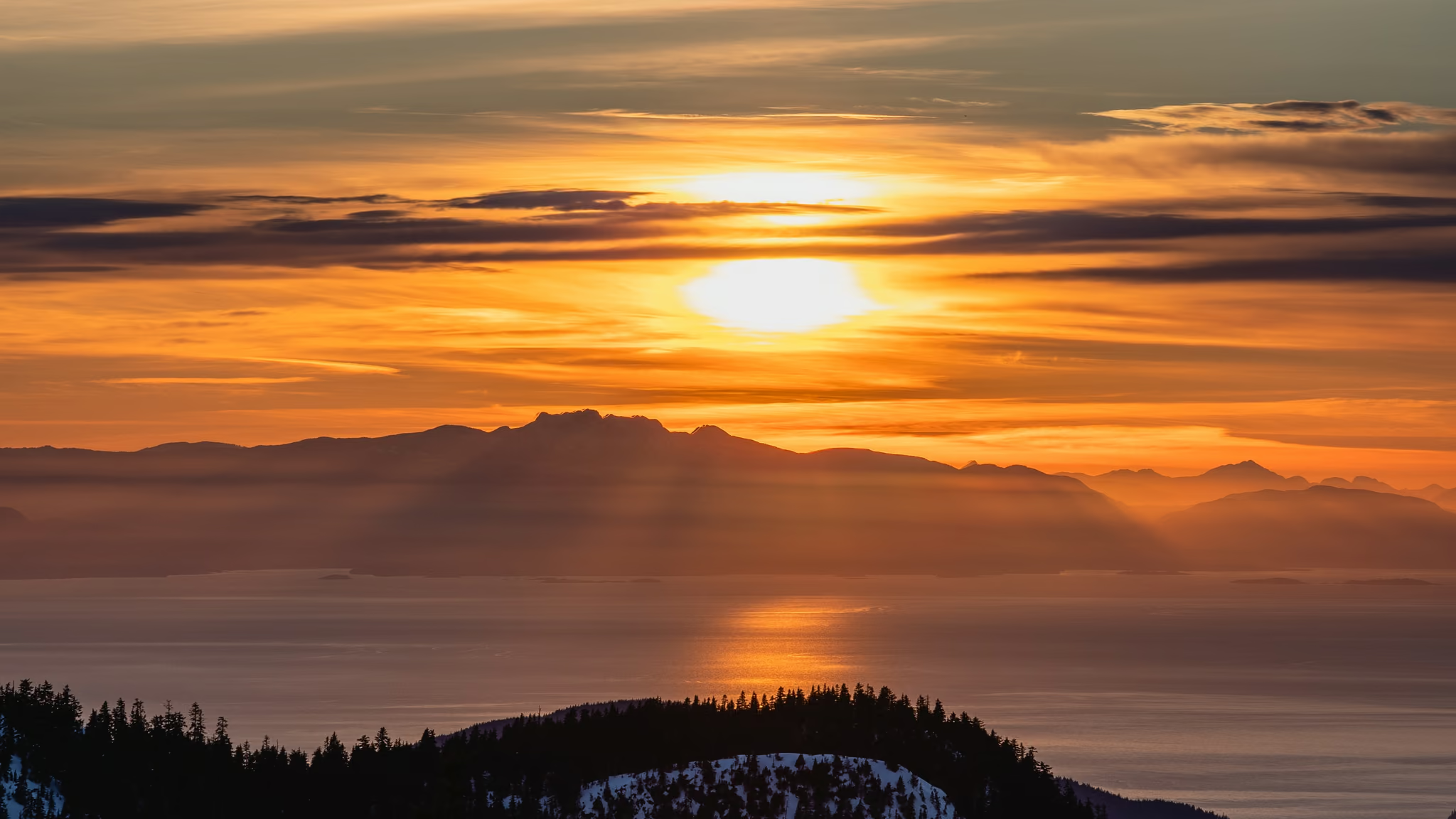
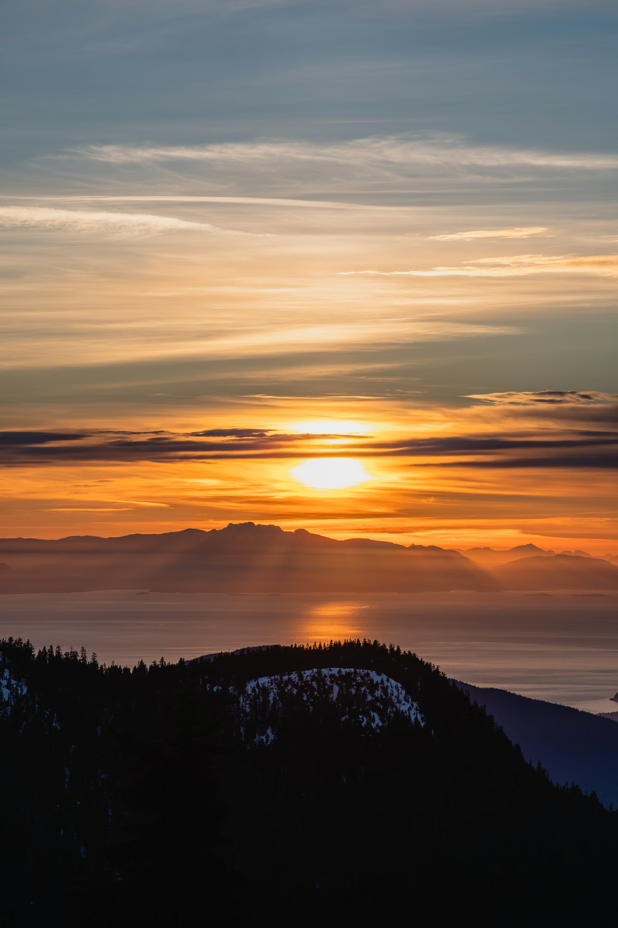
I photographed it at sunset on 8 March 2022. Snow on the ridge, the sun going into a band of cloud over the Sound, light on the water. That is the frame on this page. The walk down is in the dark. A headlamp is not optional if you stay for the drop.
Parking, fees and the pass confusion
Two things get repeated wrongly about Hollyburn and both cost people money or a wasted drive.
First: climbing Hollyburn Mountain does not require a paid pass. Cypress Mountain operates a separate marked snowshoe trail network and a groomed Nordic network in the same area, and both cost money. The summit trail is a BC Parks backcountry trail. It is free. Second: Cypress Provincial Park has no BC Parks day-use pass requirement - that is a Mount Seymour, Garibaldi, Golden Ears and Joffre thing, not a Cypress thing.
What is real is that the Nordic lot is small, that BC Parks maintains free parking areas year-round while the resort may bring in pay parking elsewhere between November and May, and that if you show up at 10am on the first bluebird Saturday after a big storm you are parking a long way down the road. Leave the city by 7:30 and this problem evaporates.
Honest caveats
This is not a beginner's first snowshoe. Take Dog Mountain first, then come here.
The middle of the mountain is a whiteout trap. Above the marked poles the trees thin out and the open slope has almost no reference points, and when the cloud drops the way up and the way down look identical. Carry a GPS track and actually look at it, or turn around at the poles.
Dogs are permitted in the provincial park on leash, but they are not allowed on the resort's Nordic trails, and the start of this route runs along them. In practice this makes the first kilometre awkward and I would leave the dog at home for this one.
Finally: microspikes are not snowshoes. On a firm, tracked day people get up Hollyburn in spikes and get away with it. On any other day they punch through to the hip and turn a four-hour outing into a six-hour one, in the dark, at exactly the elevation where that stops being funny.
Evening summit, snow on the ridge, clear sunset over Howe Sound. Walked up in daylight and stayed for the drop. Headlamp for the descent. Avalanche forecast still applies on the open slope below the summit even on a pretty evening.
Reported by Parveen Singh
Trail notes from the field
One email a month: what is melting out, what is snowed in, and where the light is good right now. Written after the hike, not before it.
By subscribing you agree to receive occasional emails from psingh.ca. No spam, no selling your address, unsubscribe any time.
Shooting this trail
Photography notes
- Best light
- The summit is one of the few places near Vancouver that works at both ends of the day, because it is genuinely open on nearly every side. Sunset is the easier shoot - the sun drops over Howe Sound and the Strait to the west and you get warm side-light on the Lions to the north. Sunrise is the better photograph and almost nobody does it: alpenglow hits the Lions and the Sky Pilot group from the east while the city is still blue, and you will have the summit alone. Budget 90 minutes up in the dark on a broken track and start from the lot 2 hours before first light.
- Best season
- January and February for snow depth and rime ice on the summit trees; late February onward for a sunrise that does not require a 4am alarm.
- Compositions
- The Lions at 70-200mm from the summit, due north. Compression makes them read as the sharp twin spires they actually are rather than the distant bumps a wide lens turns them into. This is the frame worth carrying the long lens for.
- Rime-crusted summit trees against Howe Sound at 35mm. After a cold, windy clear spell the stunted subalpine firs at the top get plastered on one side only - shoot the plastered side backlit, late afternoon, and it separates from the water behind it.
- From the open meadow around two-thirds of the way up, use the snowshoe track itself as a leading line into the summit block. 24mm, low camera position, late golden hour when the track has texture and shadow.
- The city from the south-east shoulder just below the summit - you have to walk about forty metres off the top to clear the trees, and hardly anyone does. Blue hour, 50mm, tripod.
- Gear
- The summit gets hammered by wind and everything freezes: use gloves you can operate the camera in, and keep a second pair. Rime and blowing snow will coat a front element in seconds, so shoot with the lens pointed down between frames. A polariser is genuinely useful here for cutting glare off Howe Sound in midday light, which is otherwise the worst light on this mountain.