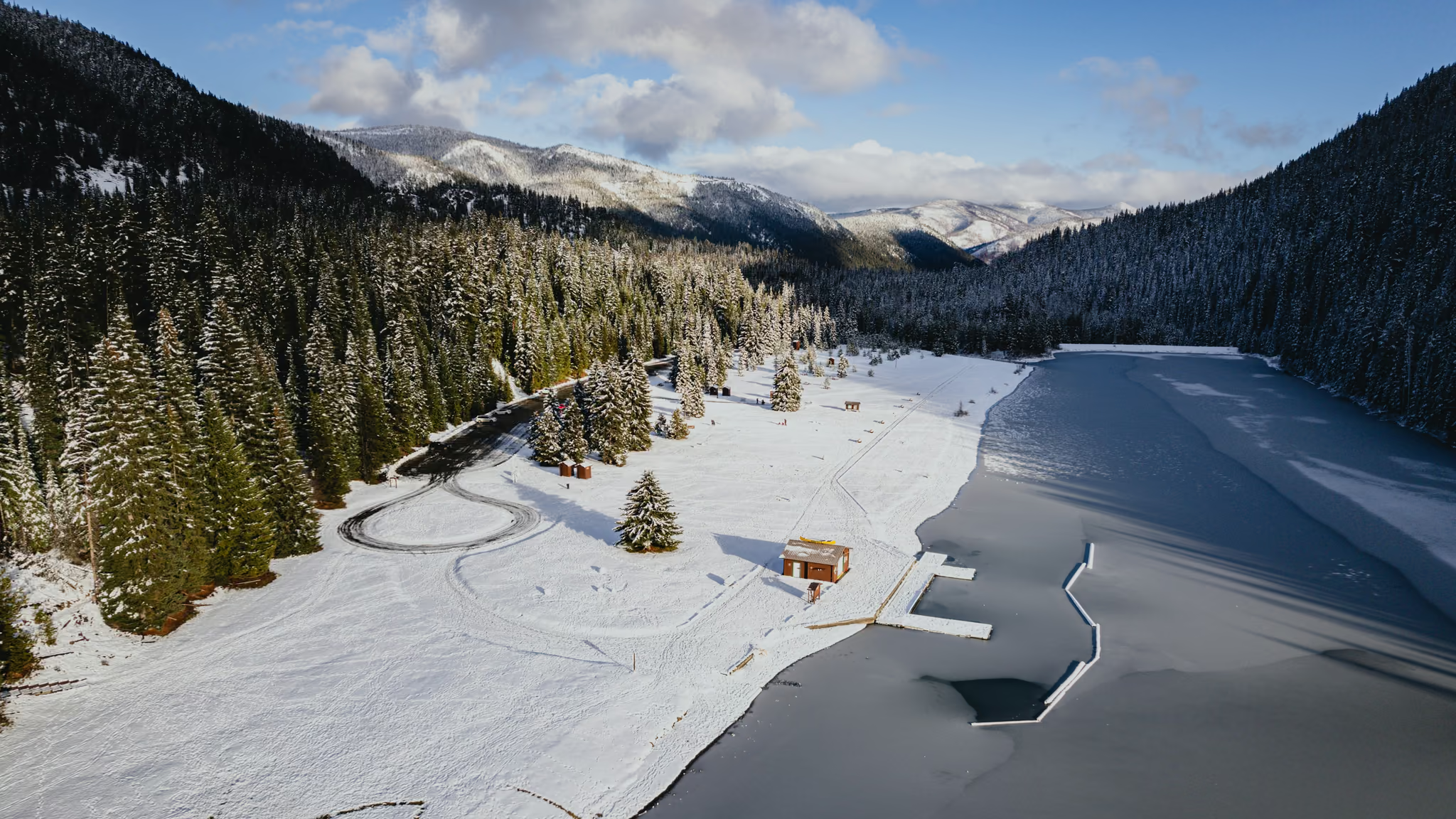
Lightning Lake in Winter: Manning Park Day-Use, Red Chairs, and a Frozen Shore
The honest Manning winter lake stop - red chairs, a frozen shore, and a day-use lot you can reach when Highway 3 is open. Worth it as a walk from the car. The 9 km loop is a different day and these photographs are not that loop.
·
Quick facts
- Distance
- 2 km
- Elevation gain
- 20 m
- Highest point
- 1,260 m
- Difficulty
- Easy
- Time needed
- 0.5-2 hours
- Route type
- Out and back
- Season
- The park is a year-round destination. These photographs are mid-November snow on the day-use shore. Highway 3 between Hope and Princeton closes in bad weather. Winter tires are not optional. The full Lightning Lake loop is about 9 km and easy in summer; in winter treat the shore as the outing unless you are equipped for a longer snow walk.
- Drive from Vancouver
- 3 h
- Transit accessible
- No
- Dog friendly
- Yes
- Pass or permit
- No pass requiredNo day-use pass. Manning is not on the BC Parks summer day-pass list. Dogs on leash. Drones are prohibited in the provincial park. Campground and cabin bookings are a separate system.
- Last hiked
- Traditional territory
- sməlqmix / Upper Similkameen and neighbouring Nlakaʼpamux territory, in the Cascade mountains of Manning Park
On this page3 sections
Manning Park is a three-hour drive from Vancouver on a good Highway 3 day, which is why most people from the city treat it as a ski weekend or skip it. Lightning Lake sits at the day-use heart of the park: a valley lake, a lot, picnic shelters, and in summer a 9 km easy loop around the water.
I was there on 13 November 2023. I did not walk the loop. I walked the shore from the lot, in snow, on a bright cold day, with the lake partly frozen. That is this page. If you wanted the full circuit, come back in July.
Getting there
Highway 1 to Hope, then Highway 3 east into Manning. The Lightning Lake day-use area is signed. From Vancouver that is about three hours when the Coquihalla and the 3 are both behaving, and an abandoned day when they are not.
Check DriveBC. Winter tires. If the highway is closed, there is no clever alternate. Pair it with a Manning overnight if you are already paying for the drive. Do not treat it as a Vancouver evening.
The shore
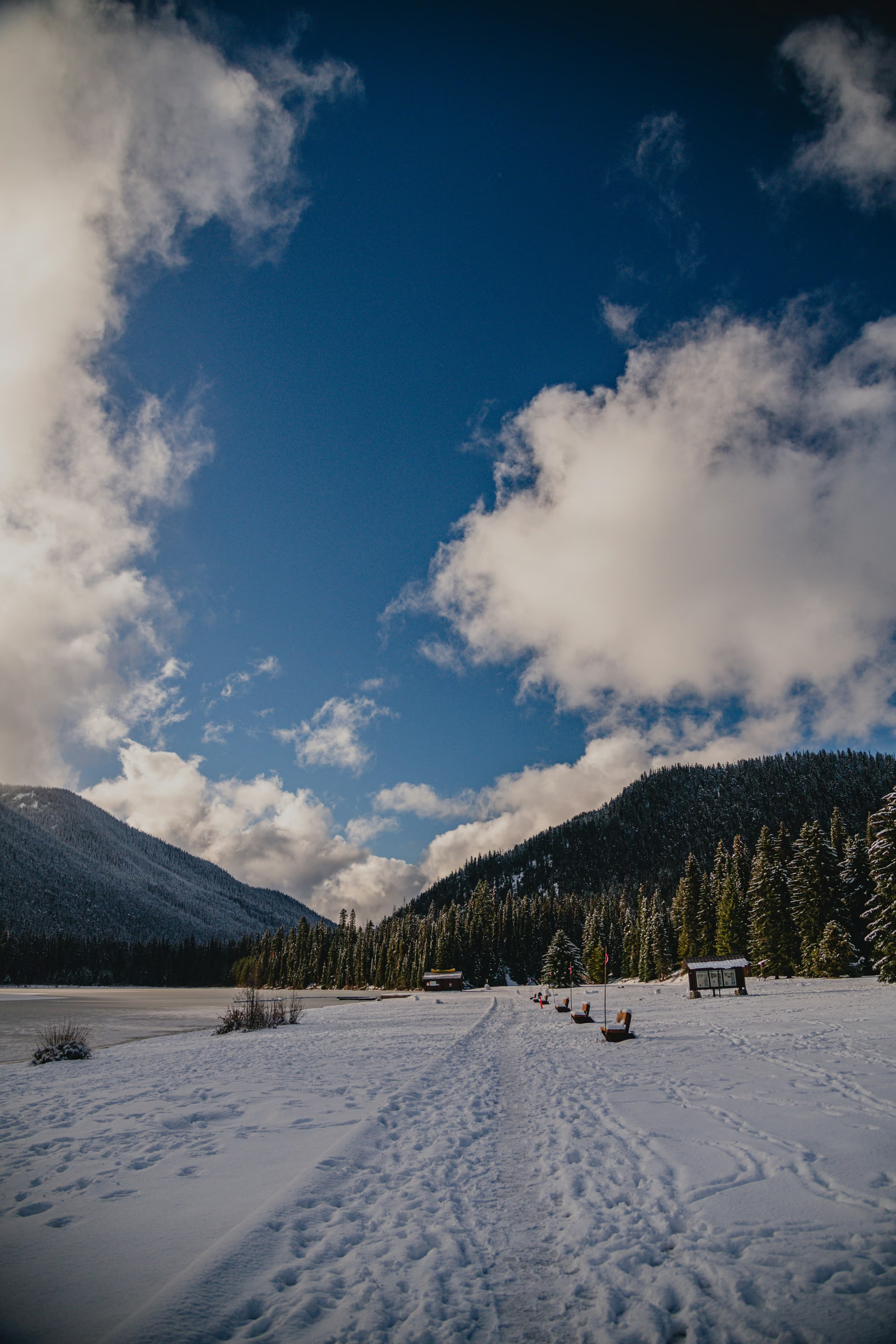
From the lot, walk down to the water. Benches, a path packed into the snow, the lake on one side, the forested ridge on the other. In November the swimming docks are a shape under snow. The red chairs and the benches are the foreground the shoreline actually gives you.
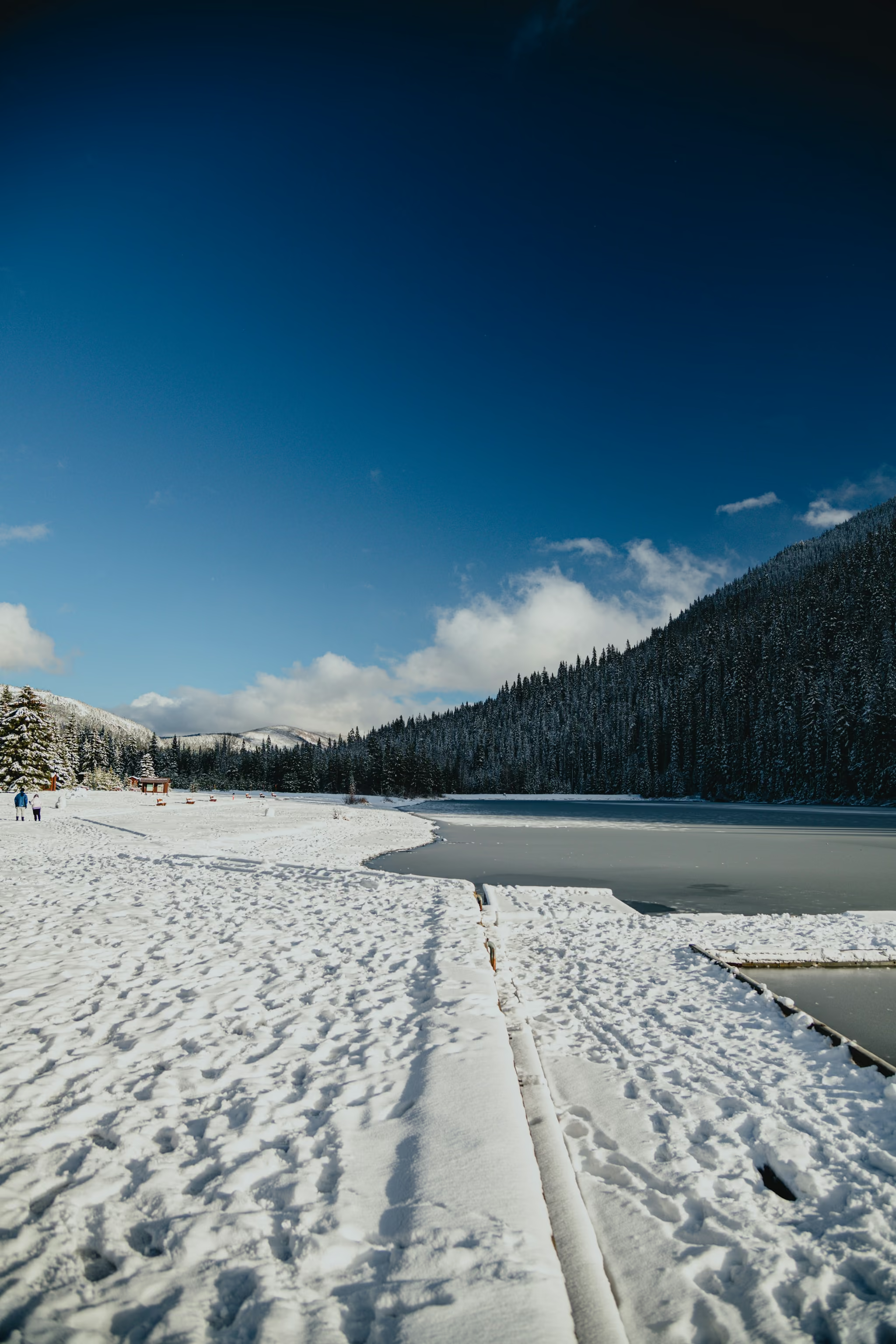
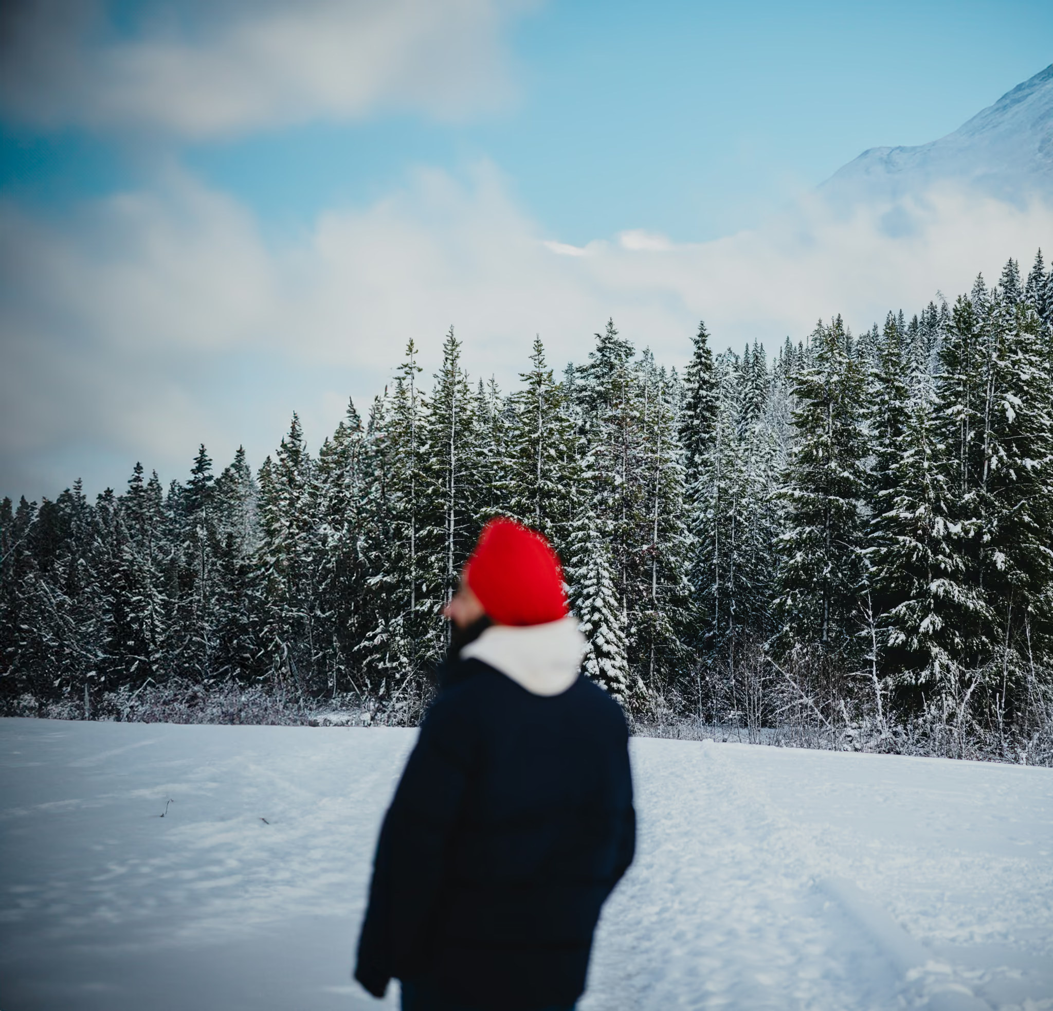
The full Lightning Lake loop is about 9 km, easy, and a different season. In winter, unless you came with snowshoes and a plan, the day-use shore is the honest outing. Dogs on leash. Stay off rotten ice. A partly frozen lake in mid-November is not a skating rink.
If you wanted frozen turquoise under a glacier, that is Joffre Lakes in winter, with avalanche terrain attached. This is a valley lake in the Cascades, and it photographs as snow, ice, and forest.
The photograph
Low sun, long shadows, expose for the snow. Polariser if the ice is glaring. The wide aerial at the top of this page is from that visit. Drones are prohibited in the park. I am not going to tell you to fly one.
Bright cold, snow on the day-use shore, lake partly frozen, chairs in place. Walked the shore from the lot. Highway 3 was open. Drones are prohibited in the park.
Reported by Parveen Singh
My BC trail kit and A7 IV settings
What is in my bag on a BC hike and why, plus the A7 IV settings I start from for each kind of scene. Confirm your email and it lands in your inbox, then one letter a month after the hike.
By signing up you agree to receive emails from psingh.ca. One letter a month, and you can unsubscribe any time.
Shooting this trail
Photography notes
- Best light
- Clear cold, low November sun. 13 November was deep blue sky, long shadows on the snow, and enough open water to keep the lake from reading as a blank field. Overcast winter here is beautiful to stand in and flat to photograph. The aerial on this page is from that visit. Drones are prohibited in the park. Do not repeat it.
- Best season
- November through March for snow on the shore. Summer is a swimming and canoeing assignment, and a different colour of water. The full loop is the summer walk. These files are the winter lot.
- Compositions
- From the shore at 24-35mm, tracks in the snow, the lake as a grey plane, forested ridges closing the valley.
- The chairs or benches as a foreground at 35-50mm. Empty seats facing a frozen lake are the Parks Canada-style frame this shoreline actually has.
- A tight crop of snow-loaded forest across the water at 105mm. Let the lake be negative space.
- Gear
- Warm boots, a polariser if there is glare on ice, and the humility to turn around if Highway 3 is a mess. You do not need a backcountry kit for the day-use shore. You do need winter tires. Leave the drone in the car. Provincial park. The wide winter aerial is not a thing you legally take from this lot.