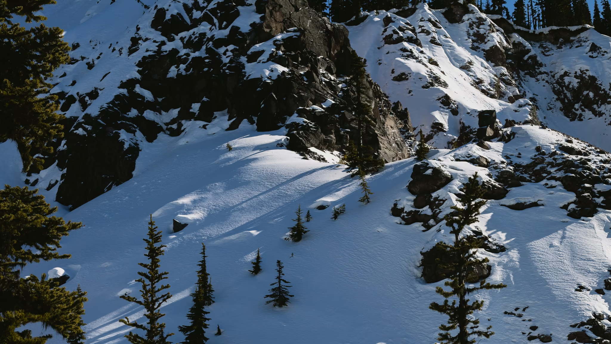
Garibaldi Lake in Winter: The Rubble Creek Route in February, Honestly Described
A 22 km winter day with roughly a kilometre of climbing, no hut at the end and no pass required to attempt it, which is exactly why it catches out parties who did it in July and assumed February would be the same trail with snow on it.
Quick facts
- Distance
- 22 km
- Elevation gain
- 975 m
- Highest point
- 1,484 m
- Difficulty
- Very hard
- Time needed
- 9-12 hours
- Route type
- Out and back
- Season
- This guide covers the snow season only, roughly December through April. BC Parks states that avalanche and glacier hazards exist in Garibaldi Park year-round and classes Black Tusk and Garibaldi Lake as an advanced intermediate to advanced backcountry ski touring area. February is the settled middle of the winter window and the month BC Parks itself references for lake crossings.
- Drive from Vancouver
- 1 h 35 min
- Transit accessible
- No
- Dog friendly
- No
- Pass or permit
- No pass requiredNo day-use pass in winter. BC Parks requires passes at the Rubble Creek and Diamond Head trailheads only from June 12 to October 12, 2026, and only on Fridays, Saturdays, Sundays, Mondays and holidays. A February day trip needs nothing booked. Overnight is different and the difference is absolute: camping reservations are required year-round for Garibaldi Lake, Taylor Meadows and Helm campgrounds, and all camping in the park requires a camping permit. Garibaldi Lake campground has 50 tent sites and Taylor Meadows has 40 tent platforms. Book before you drive, because there is very limited cell coverage in the area.
- Last hiked
- Traditional territory
- Sḵwx̱wú7mesh Úxwumixw (Squamish) territory; Garibaldi Park as a whole is shared with the Líl̓wat Nation toward its northern end
On this page6 sections
Garibaldi Lake in summer is a queue. Garibaldi Lake in February is 22 kilometres, roughly a kilometre of climbing, no hut at the end, no day-use pass to slow anybody down, and a parking lot you may not be able to drive to. It is the same line on the map and a completely different day, and the gap between those two things is where parties get into trouble.
The numbers, from BC Parks
The park's own trail information sheet is the number to plan from. Rubble Creek parking lot to the 6.5 km junction is 6 kilometres and 770 metres of gain, rated strenuous. The junction to Garibaldi Lake campground is a further 3 kilometres and 130 metres. That is 9 kilometres and 900 metres each way, 18 kilometres round trip. Taylor Meadows is closer, at 1.5 kilometres and 180 metres from the junction, so 7.5 kilometres and 950 metres from the lot.
Now add winter. Highway 99 to the parking lot on Daisy Lake Road is 2 kilometres and 75 metres. If the road is not driveable, and it often is not, that is 4 to 5 extra kilometres on your day. Call the realistic February figure 22 kilometres and 975 metres, and call the time 9 to 12 hours if you are breaking any trail at all. A summer party does the same route in 6 or 7.
The first 6 kilometres are the switchbacks: relentless, forested, and in winter either a firm boot-packed staircase or an unbroken slope of thigh-deep snow, depending entirely on how many people went up ahead of you. There is no way to know in advance. BC Parks asks specifically that you follow the main trail and do not shortcut between switchbacks, because shortcutting kicks debris down onto people below. In snow that warning goes up a level.
Avalanche terrain, stated plainly
The Barrier deserves its own paragraph because it is a hazard of a different kind. It is the lava dam that holds Garibaldi Lake in place, and the ground below and adjacent to it is a designated civil defence zone with posted signs. Camping, stopping or lingering in it is prohibited, and camping or remaining overnight at or near the Garibaldi Lake parking lot is prohibited for the same reason. In winter that zone is under snow and the signs may not be visible, so know where it is before you go rather than looking for a sign.
Taylor Meadows or the lake
In summer this is a preference. In winter it is a navigation decision. Taylor Meadows is higher, more open, and above the trees, which means when the cloud comes in you are crossing a featureless white plain with no visible trail and no reference points. The lake basin is lower and more sheltered but the traverse into it from the junction crosses more open ground. Neither is a default. Pick one before you leave the car, and set a hard turnaround time for it.
BC Parks notes that many people ski across Garibaldi Lake in January and February to reach the huts on the far side, which are only accessible in winter because there is no trail around the lake. That is a real and long-established use, but lake ice is never a guarantee and it is not something this guide will tell you to do on a given day. If you are not competent to assess ice yourself, stay on the shore.
Passes, reservations and the road
There is no day-use pass in winter. Passes apply at Rubble Creek only from June 12 to October 12, 2026, Fridays through Mondays and holidays. Nothing to book for a February day trip.
Camping is the opposite. Reservations are required year-round for Garibaldi Lake, Taylor Meadows and Helm campgrounds, and all camping in the park requires a permit. Book it at home.
The road is the trip-killer. BC Parks says two different things in two places: the area page says the Rubble Creek road is not plowed to the parking lot and is not ploughed in winter between the Highway 99 turnoff and the Daisy Lake Dam gate, while the May 2026 trail information sheet says Daisy Lake Road is plowed throughout winter as a secondary priority after highways. Plan for the walk and be pleased if you get to drive it. Either way BC Parks recommends 4x4 with high clearance, winter tires and chains, and there are hard rules about where not to park: not near the Daisy Lake hydro dam access, not blocking the snowplow route, not blocking the gate or the plowed section serving private property.
Placeholder pending Parveen's own dated observation from this trip. BC Parks' standing guidance for the area: avalanche and glacier hazards year-round, advanced intermediate to advanced backcountry ski touring terrain, no huts for overnight use, day-use shelters not built for sleeping, winter visitors should be equipped for winter camping, very limited cell coverage, and the access road may not be plowed to the lot.
Reported by BC Parks Black Tusk and Garibaldi Lake area page and trail information sheet
Daylight, and the arithmetic nobody does
Mid-February gives Squamish roughly ten hours of light, and the basin loses direct sun well before the valley does. A 22-kilometre day at winter pace consumes all of it. That means a headlamp start, a headlamp finish, or both, and it means the turnaround time is set before you leave the car and honoured when you are 40 minutes short of the lake and it feels stupid to stop. That is the whole discipline of this route in winter.
Worth it?
Yes, but only on the right terms. Winter takes away the crowds, the passes and the queue, and gives back a basin under deep snow that looks like a genuine expedition objective an hour and a half from Vancouver. It also takes away the margin. If you want a winter day in this part of the world without the avalanche training and the 22 kilometres, Elfin Lakes is the marked-route version of the same idea, and the snowshoe routes near Vancouver are the version you can do on a Saturday morning.
Trail notes from the field
One email a month: what is melting out, what is snowed in, and where the light is good right now. Written after the hike, not before it.
By subscribing you agree to receive occasional emails from psingh.ca. No spam, no selling your address, unsubscribe any time.
Shooting this trail
Photography notes
- Best light
- The lake basin faces roughly north-east and sits at about 1,484 m under high walls, so in February the useful light is at the ends of the day rather than the middle. First light hits the Sphinx and the peaks across the lake while the near shore is still deep blue, and that separation is the whole photograph. The problem is that reaching the lake for sunrise in February means starting the switchbacks in the dark at around 5am, and reaching it for sunset means descending 900 metres of snow by headlamp. Most people photograph this basin in flat midday light because that is when they arrive, and flat light on an all-white lake gives you nothing. If you want the good frame here, one of the two dark halves of the day is non-negotiable.
- Best season
- February. January is colder and darker with a worse trail-breaking lottery; by late March the lower switchbacks are wet and patchy while the basin is still fully white, which is a hard combination to make a coherent set out of.
- Compositions
- The Barrier from the switchback traverse at 35-70mm. This is the one strong photograph of the climb itself, and in winter the black volcanic wall against loaded snow is far more graphic than it is in summer. Shoot it in the morning while it is still in shade and the sky behind is lit.
- Garibaldi Lake as a frozen white plane with Sphinx Glacier and the Table across it, 24-35mm from the campground shore. The lake surface reads as empty white in flat light, so wait for raking side light that picks up wind texture, or place a single dark subject in the mid-ground to give it scale.
- Blue hour on the snow at the lake, 20 to 35 minutes after the sun leaves the basin. Snow at blue hour records genuinely blue rather than grey, and it is the one time of day this landscape has colour in winter. Tripod, low ISO, 2-6 second exposures.
- The switchbacks going down at last light, 50mm, looking along the traverse with headlamps in the frame. It is the honest picture of a February day here, which is that the good light and the safe descent are the same hour and you only get one of them.
- Gear
- Snow breaks metering. Your camera will render a white lake as mid-grey, so add one to two stops of exposure compensation, expose to the right, and read the histogram rather than the screen. Shoot RAW so you can recover the snow surface rather than a flat blown highlight. This is a long day with a lot of climbing, so every gram is felt at kilometre 18: a compact carbon tripod earns its cost here and a second body does not. Batteries drain fast in cold; carry spares warm against your body. A polariser cuts glare off ice and firns up what little sky colour February gives you. Expect condensation the moment you get in the car, so bag the camera before you open the door.