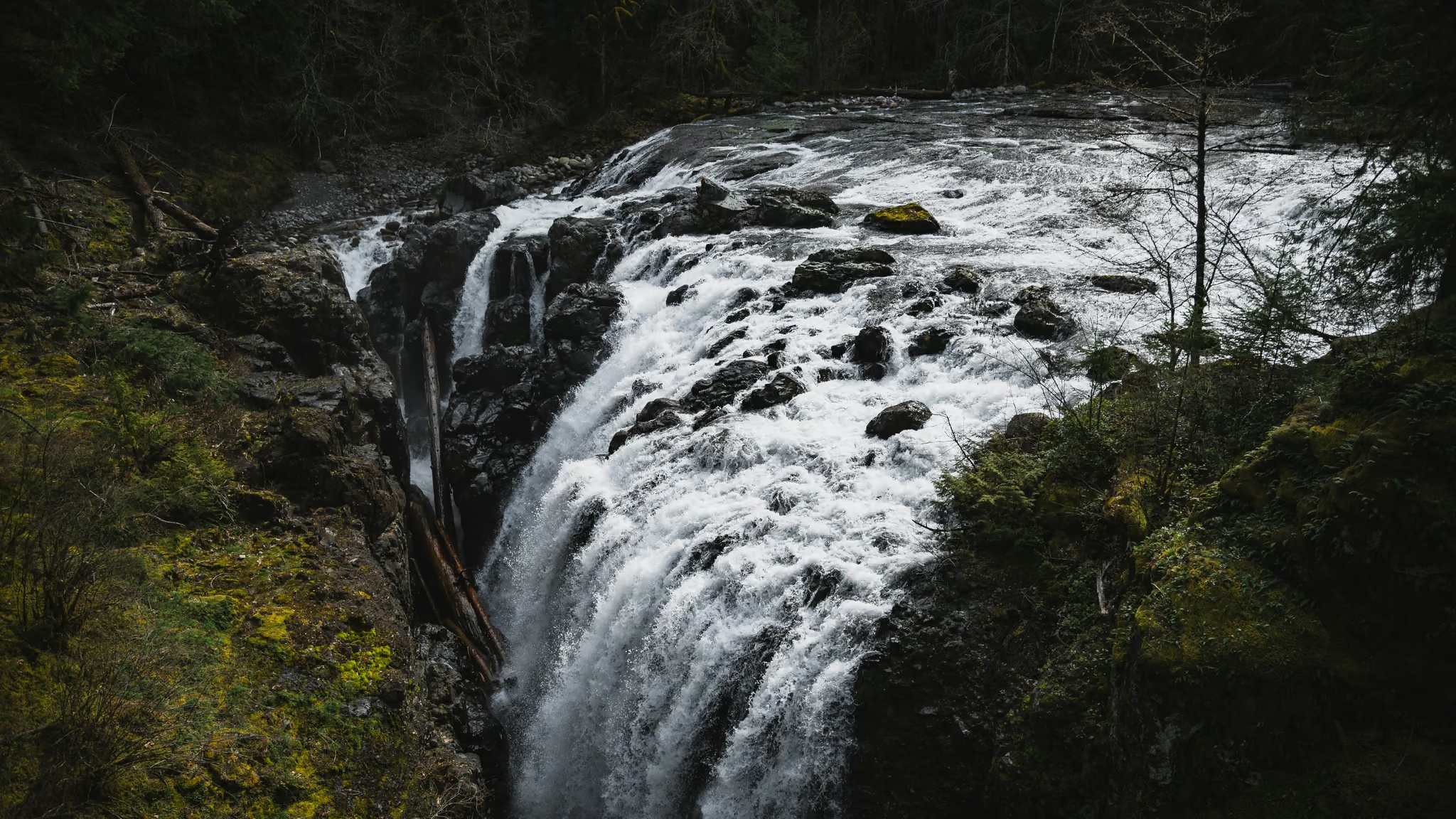
Englishman River Falls: The Other Highway 4 Waterfall, 9 km Off the Alberni Highway
The better canyon of the two Parksville waterfall stops if you will leave Highway 4. The loop is stairs and bridges, not a hike, and the upper drop is the photograph. Pair it with Little Qualicum. Do not drive to the Island for this loop alone.
·
Quick facts
- Distance
- 2 km
- Elevation gain
- 80 m
- Highest point
- 200 m
- Difficulty
- Easy
- Time needed
- 0.75-1.5 hours
- Route type
- Loop
- Season
- Year-round at this elevation if you can walk in. Vehicle access to the day-use lot is not a winter guarantee. Volume tracks rain. Summer camping fills.
- Drive from Vancouver
- 3 h 30 min
- Transit accessible
- No
- Dog friendly
- Yes
- Pass or permit
- No pass requiredNo day-use pass. This is a BC Parks day-use area with a campground that is a separate reservation. Dogs on leash. Stay on designated trails and behind the fences at the canyon.
- Last hiked
- Traditional territory
- Traditional territory of the Qualicum First Nation and neighbouring Coast Salish peoples of east-central Vancouver Island, on the Englishman River inland of Parksville
On this page3 sections
Little Qualicum is signed on Highway 4. Englishman River Falls is 9 km down Errington Road, which is why people who are already driving to Cathedral Grove miss it. The canyon is the reason to take the turn.
I walked the loop on 4 April 2024 in flat grey light with the river up. That is the water in these pictures. A dry August will not look like this, and you should not be surprised.
The walk you came for is the day-use circuit to the upper and lower falls: roughly 2 km, stairs, bridges, fenced lookouts over a gorge the Englishman River has cut through rock. It is easy until the stairs, and the stairs are why it is not a stroller walk for the whole loop. There is a shorter, flatter walk to the upper viewpoint if that is all you came for.
Getting there
Ferry to Nanaimo, Highway 19 to Parksville, Highway 4A toward Coombs, Errington Road to the end. The park is 13 km southwest of Parksville. From Vancouver that is a sailing plus about an hour of Island driving after Qualicum, which is why the drive time on this page looks like a trip rather than an outing.
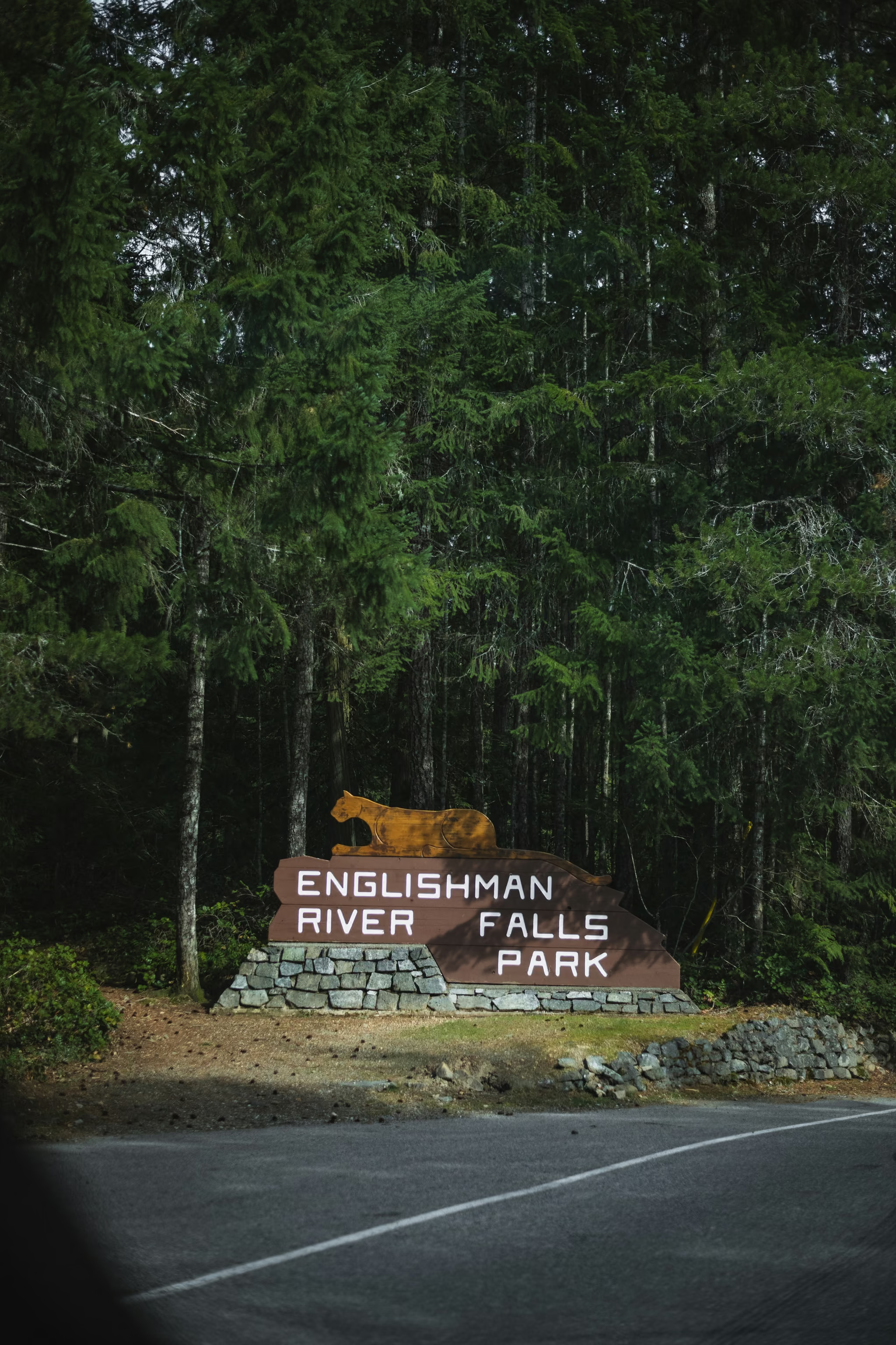
Pair it with Little Qualicum Falls on the same Highway 4 day. Do not drive to the Island for this loop alone.
The loop
Leave the day-use area and follow the signed waterfall loop. You get more than one fall. People who photograph the first drop and turn around miss the canyon views that are the actual point.
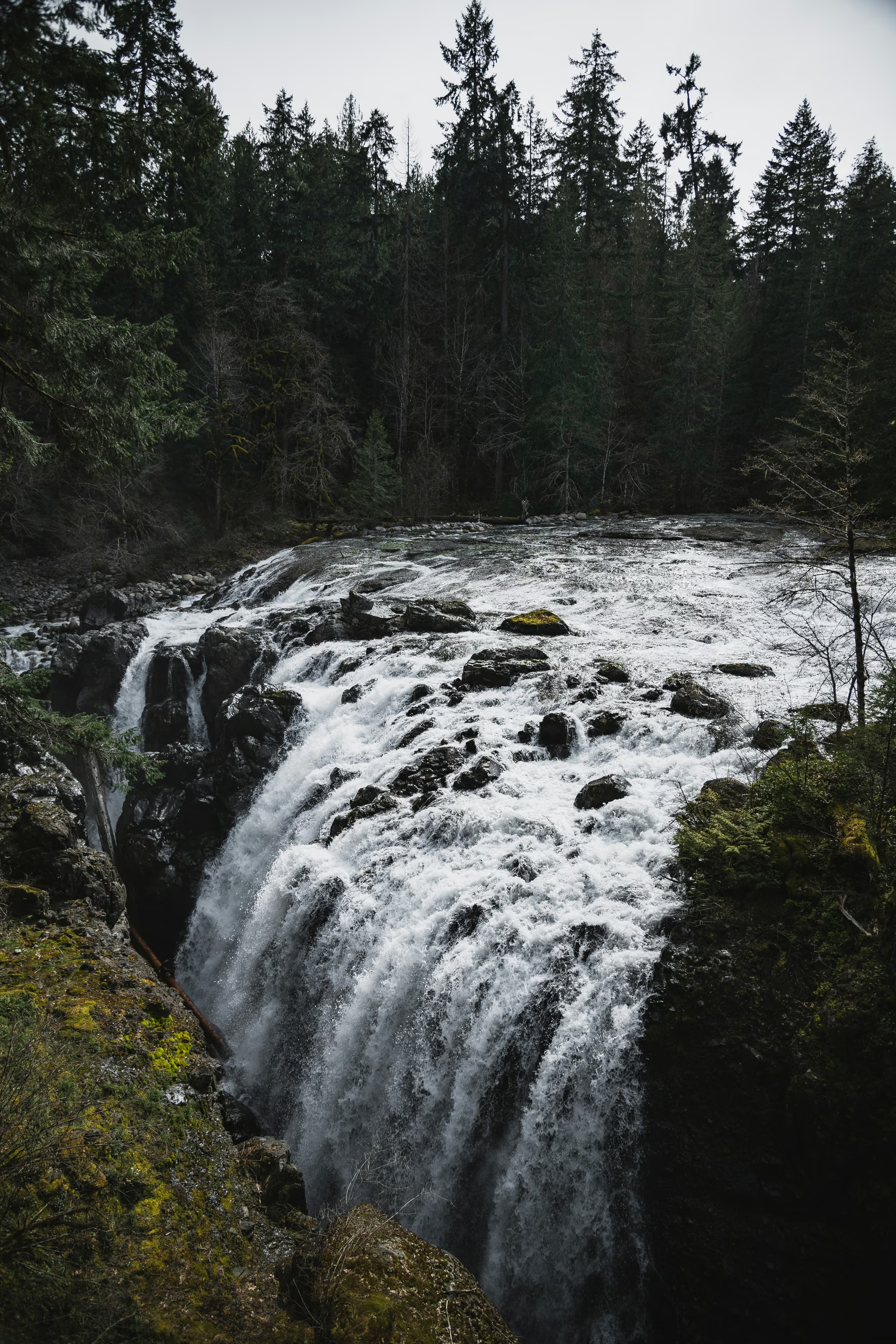
Stay behind the fences. The rock is wet, the drop is real, and the river does not care that the walk in felt easy.
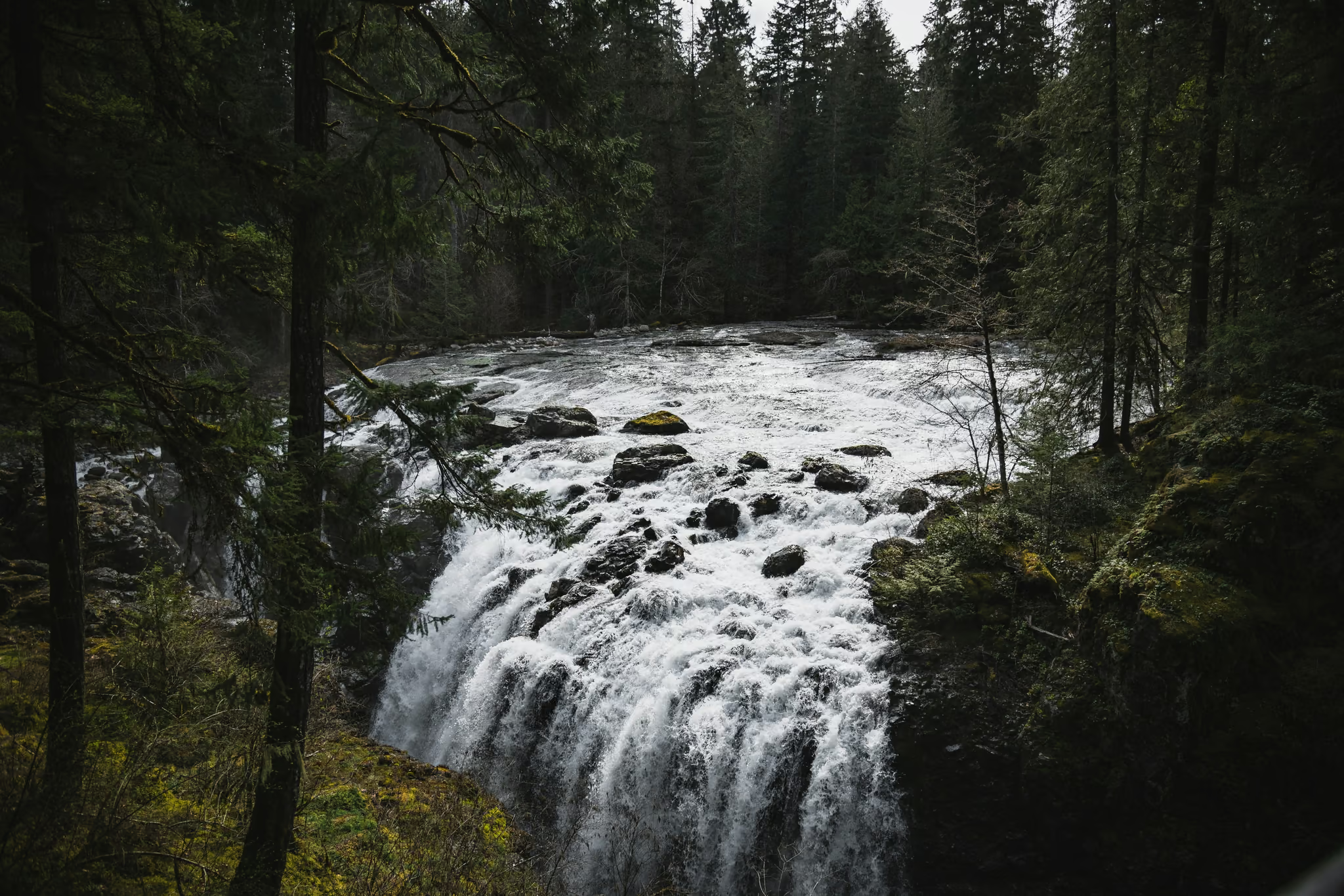
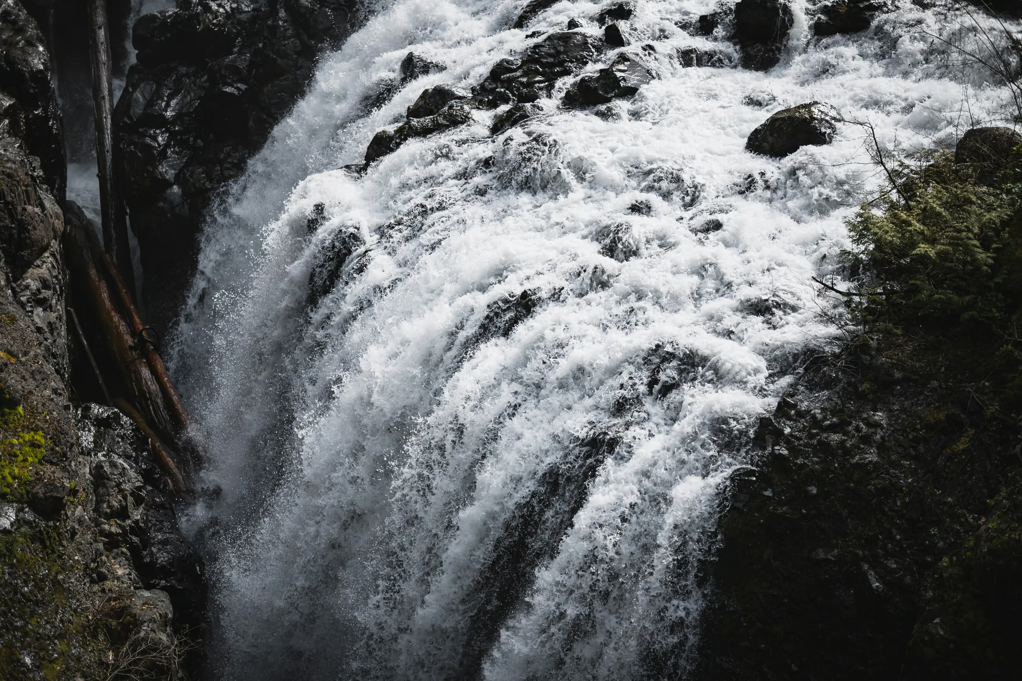
There is a campground in the park, forested, busy in summer, reserved separately. The lower pool is the swimming answer in summer. The upper canyon is the walking one.
The photograph
This is a polariser-and-overcast river gorge, not a sunrise alpine. Shoot the upper curtain, keep the moss, keep the steps in the water. Vertical frames of the drop, or a 16:9 crop across the ledge from a deck. The entrance sign is a useful establishing frame if you are writing the trip as a Parksville day rather than as a secret.
Dogs on leash. Drones off. This is a provincial park, not a set.
Overcast, river high, upper drop loud, moss saturated. Walked the day-use waterfall loop. A dry August will not look like this.
Reported by Parveen Singh
My BC trail kit and A7 IV settings
What is in my bag on a BC hike and why, plus the A7 IV settings I start from for each kind of scene. Confirm your email and it lands in your inbox, then one letter a month after the hike.
By signing up you agree to receive emails from psingh.ca. One letter a month, and you can unsubscribe any time.
Shooting this trail
Photography notes
- Best light
- Overcast. The canyon is a dark wet notch. Sun turns the water into a hole in the file. April grey is the light on this page.
- Best season
- Late winter through June for volume. April after rain is the version on this page. Late August can still look good after a wet week and thin after a dry one.
- Compositions
- From a fenced viewpoint looking down the upper drop at 24-35mm, mossy walls, the river as a bright curtain.
- A tight crop of the lip at 50-85mm. Isolate the water and the wet rock.
- Long exposure 1/4 to 1 second. Past two seconds the steps smear and you lose the shape that makes this fall look like itself.
- Gear
- Polariser first. Wet basalt and wet cedar are a grey sheet without it. Tripod on the decks if you can keep feet inside the rail. Do not climb down into the canyon. Drones are prohibited.