Nymph Falls: 600 Metres to the Puntledge, and a Comox Valley River Walk
The honest short river stop west of Courtenay - a 600 m walk to wide ledges and white water, not a slot canyon, and not Elk Falls. Worth it if you are already in the valley. Stay off the wet rock when the river is up.
·
Quick facts
- Distance
- 1.2 km
- Elevation gain
- 20 m
- Highest point
- 80 m
- Difficulty
- Easy
- Time needed
- 0.5-1.5 hours
- Route type
- Out and back
- Season
- Year-round. Volume tracks rain and dam release on the Puntledge. Summer is a swimming crowd on the ledges. After autumn rain the river is a different place.
- Drive from Vancouver
- 5 h 30 min
- Transit accessible
- No
- Dog friendly
- Yes
- Pass or permit
- No pass requiredNo admission. This is a Comox Valley regional park, not a provincial one. Dogs on leash in posted areas. Stay on trails. The river current is not a pool-lane current.
- Last hiked
- Traditional territory
- K'ómoks First Nation territory, on the Puntledge River in the Comox Valley
On this page3 sections
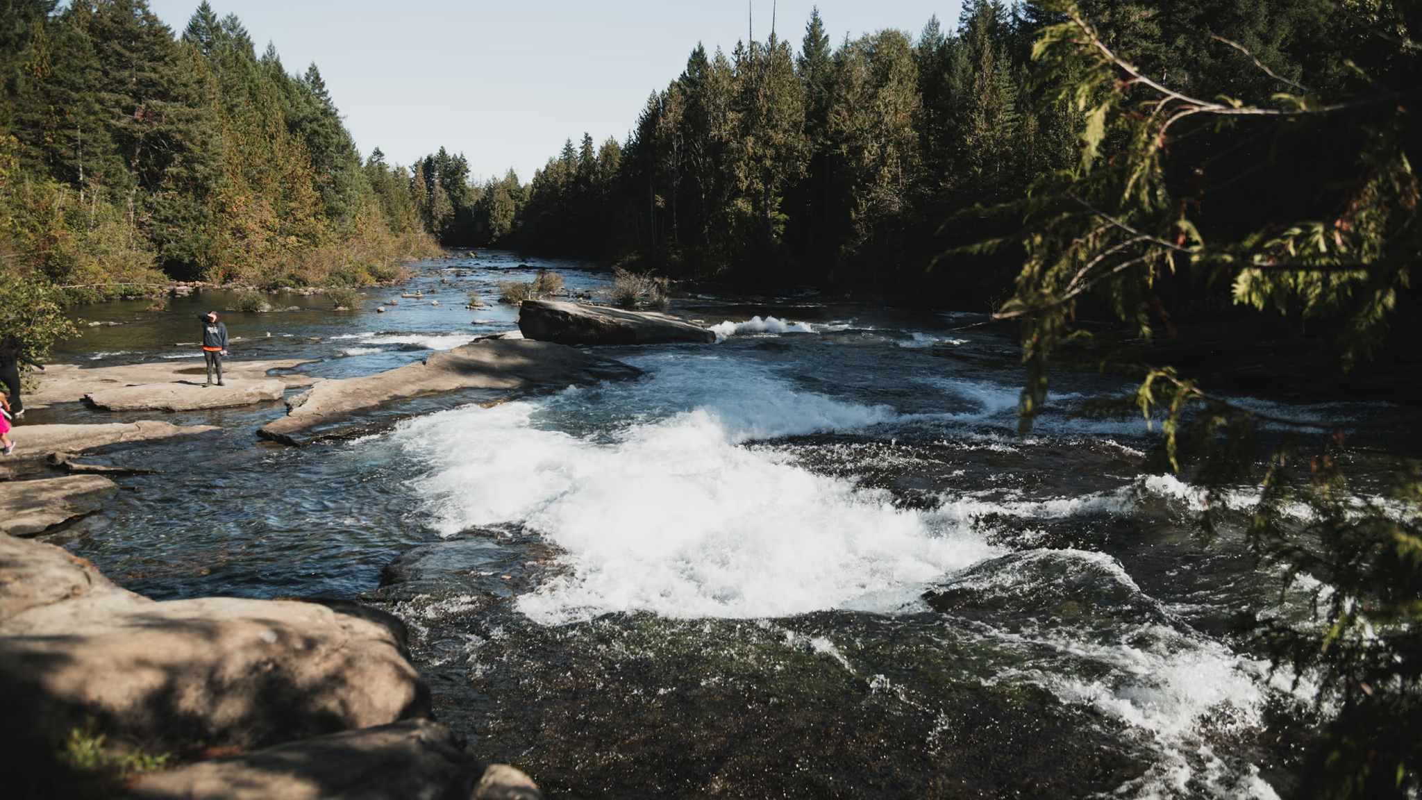
Nymph Falls is a Comox Valley regional park on the Puntledge River, not a provincial park, and not the canyon at Elk Falls. It is a 600 m walk from the lot to wide rocky ledges and white water. If you wanted a suspension bridge, that is Elk Falls, twenty minutes north.
I walked it on 30 September 2023, same day as Elk Falls. Bright sun, the river up enough to show the steps, people already on the rock. That is this page.
Getting there
Ferry to Nanaimo, Island Highway to Courtenay, then west toward Comox Lake. The park is signed. From Vancouver that is a sailing plus most of a day. Pair it with Elk Falls if you are already this far north. Do not treat it as a Vancouver evening.
The walk
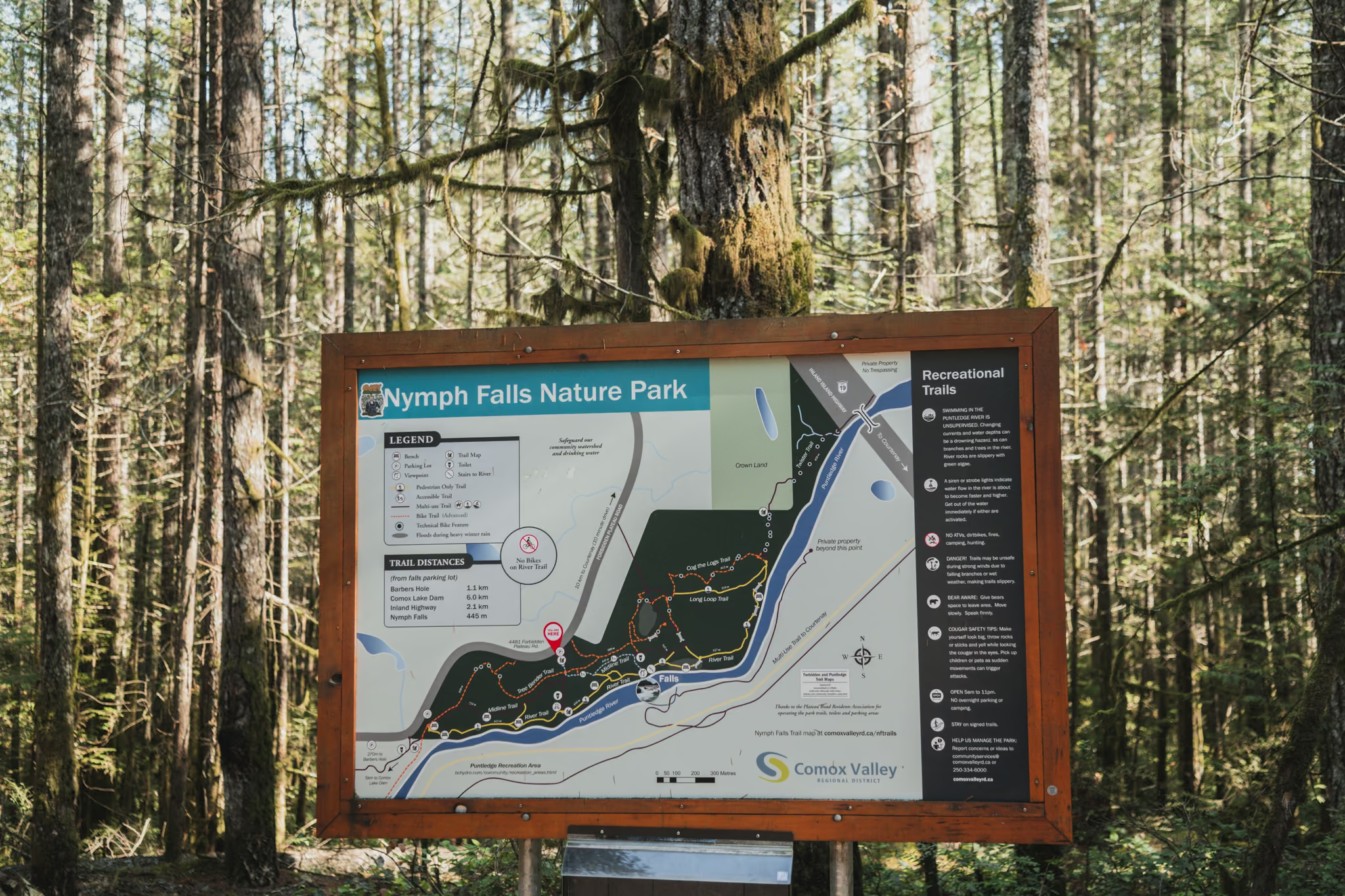
From the map board, follow the main trail toward the river. Six hundred metres is the honest number. You hear the water before you see the whole ledge.
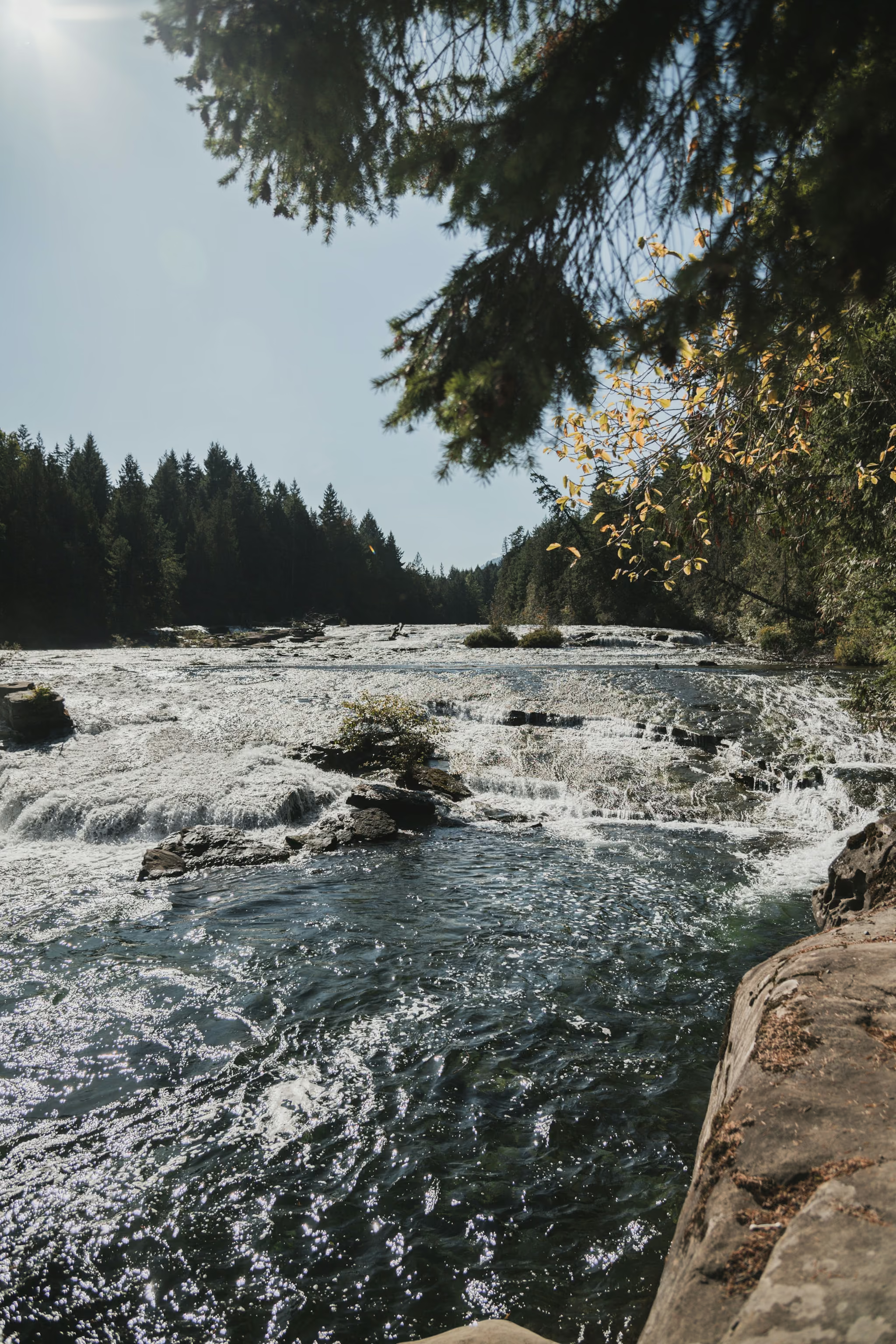
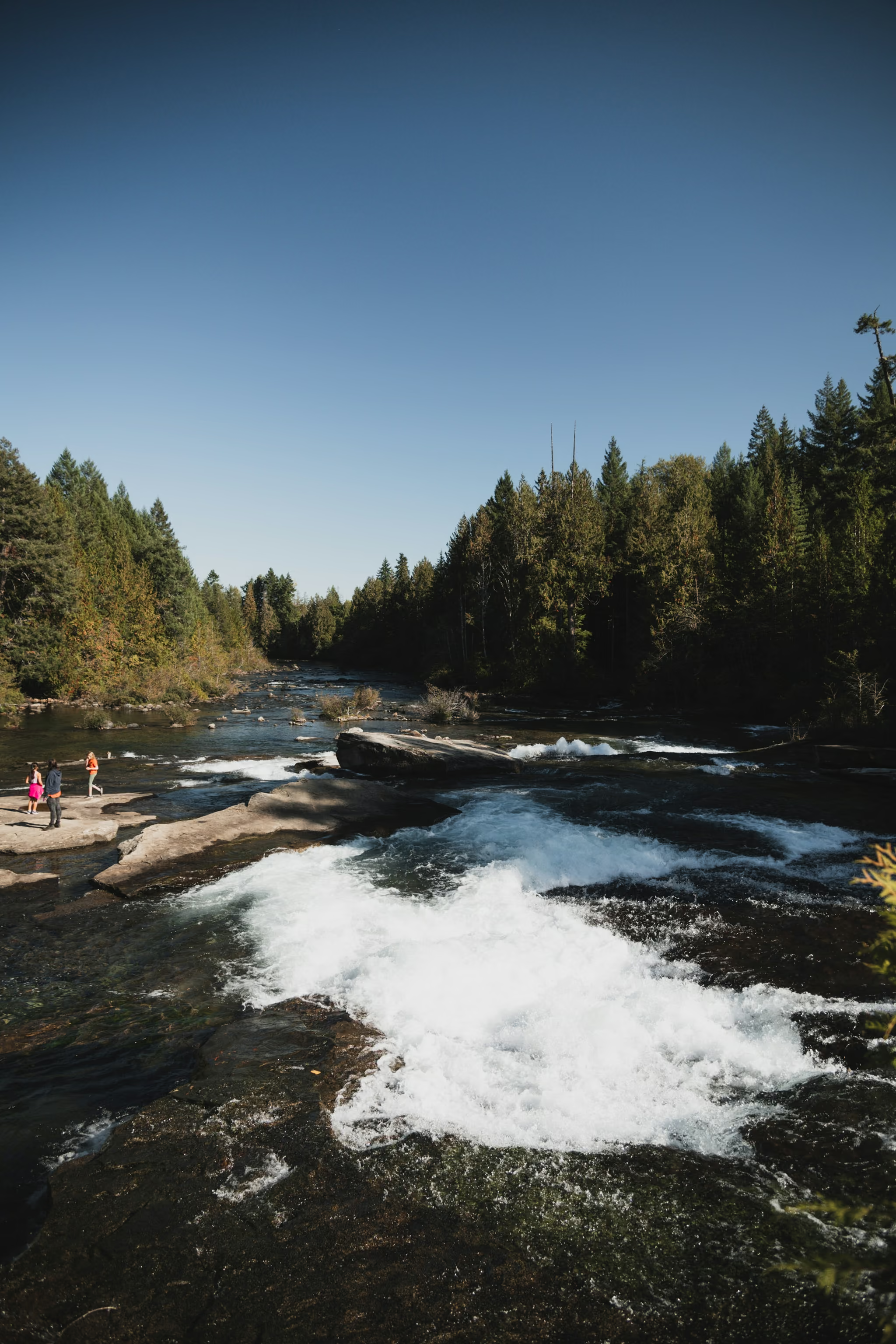
Stay off the wet rock when the river is up. Summer swimming on the shelves is a different assignment, and the current is not a pool-lane current. I did not swim. I photographed the water and walked out.
There are longer connecting trails toward Comox Lake Dam. You do not need them for the falls.
The photograph
This is a wide river on rock, not a dark slot. Polariser, overcast if you can get it, a quarter-second to one second from solid ground. Hard sun turns the foam into a hole. I know, because that is the light I had.
Dogs on leash where posted. Pack out what you carry.
Bright sun, Puntledge running over the ledges, people on the rock. Walked from the map board to the river. A high-water day is not a swimming day.
Reported by Parveen Singh
My BC trail kit and A7 IV settings
What is in my bag on a BC hike and why, plus the A7 IV settings I start from for each kind of scene. Confirm your email and it lands in your inbox, then one letter a month after the hike.
By signing up you agree to receive emails from psingh.ca. One letter a month, and you can unsubscribe any time.
Shooting this trail
Photography notes
- Best light
- Overcast for the water. I shot it in hard September sun and the highlights went. A grey Comox morning is the correct light. Evening side light on the ledges can work if the river is down.
- Best season
- October through June for volume. Late September can still look good. July and August are a swimming assignment, not a river-texture assignment.
- Compositions
- Wide on the ledges at 24-35mm with forest on both banks. Get the steps in the water.
- A single chute at 50mm. Isolate one shelf rather than trying to hold the whole river.
- Long exposure 1/4 to 1 second from solid rock, not from a sloping wet shelf.
- Gear
- Polariser. You do not need a heavy kit. You do need to stay off the wet rock when the river is up. People stand on those ledges in summer. That is not a recommendation for a high-water day.