Nanaimo to Cape Scott: Comox Valley, Port Hardy, and San Josef Bay
The north-Island trip that justifies the long highway: Nymph Falls and Elk Falls on the way up, Port Hardy, the Holberg gravel, and an easy beach walk at San Josef Bay. Budget two hours for the logging road, a real spare, and cash for camping. Skip the waterfalls only if you are already arriving at Hardy in the dark.
·
Quick facts
- Length
- 3 days
- Driving distance
- 1100 km
- Starts
- Nanaimo
- Ends
- Nanaimo
- Season
- Fall, Summer
The route
- 1Comox Valley
- 2Nymph Falls
- 3Elk Falls
- 4Port Hardy
- 5Holberg Road
- 6San Josef Bay
- 7Cape Scott
On this page3 sections
I ran this at the start of October 2023. 30 September was the Island Highway north: the Comox Valley sign, Nymph Falls on the Puntledge, Elk Falls at Campbell River, then the last stretch toward Hardy. 1 October was Port Hardy and the Cape Scott road. 2 October was San Josef Bay in fog, then town.
The beach walk is 2.5 km each way on a wide path. The difficulty is 64 km of active logging road after Port Hardy, and the five hours of highway before that. Nymph and Elk are not filler. They are the two waterfalls you can actually walk on the way up, both free, both under an hour, both photographed on that first day. The San Josef Bay guide is the beach. This page is the days around it.
Day 1: Nanaimo, Nymph Falls, Elk Falls
Ferry into Nanaimo, Highway 19 north. Plan this as a waterfall day that ends in Campbell River or Port Hardy, not as a race to the gravel. I did both walks on 30 September 2023 in hard sun. Overcast is the correct light for both rivers. It is not the light I had.
| Time | Where | Stop | Next leg |
|---|---|---|---|
| Morning | Off the ferry in Nanaimo | Fuel | Highway 19 north, about 2 h to Courtenay |
| Late morning | Comox Valley sign | 5 min | West off the highway toward Comox Lake |
| Midday | Nymph Falls | 45-60 min | Back to Highway 19, 25 min to Campbell River |
| Afternoon | Elk Falls | 45-75 min | Highway 19 north |
| Evening | Campbell River overnight, or push 2 h to Port Hardy |
Do not add San Josef on this calendar day. The gravel in the dark is how you get a flat you cannot see.
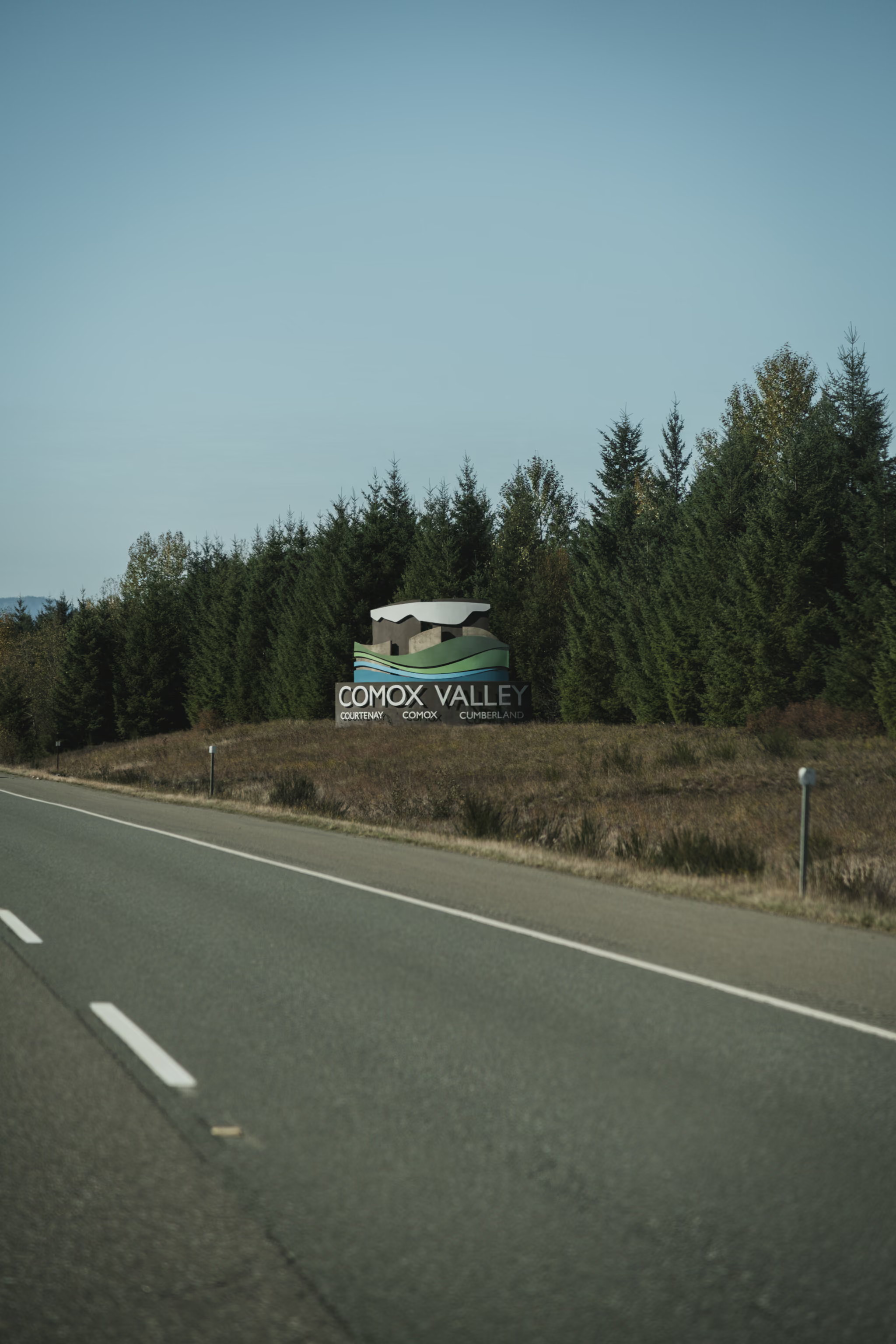
The Comox Valley sign is the first proof you have left the mid-Island waterfall belt. Courtenay, Comox, Cumberland. Nymph Falls is west of Courtenay, not on the highway. You have to leave 19.
Nymph Falls
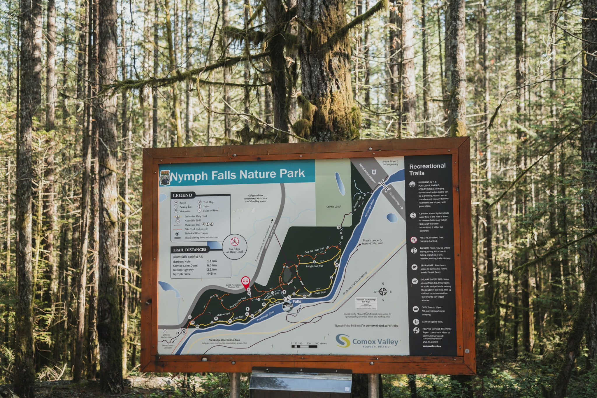
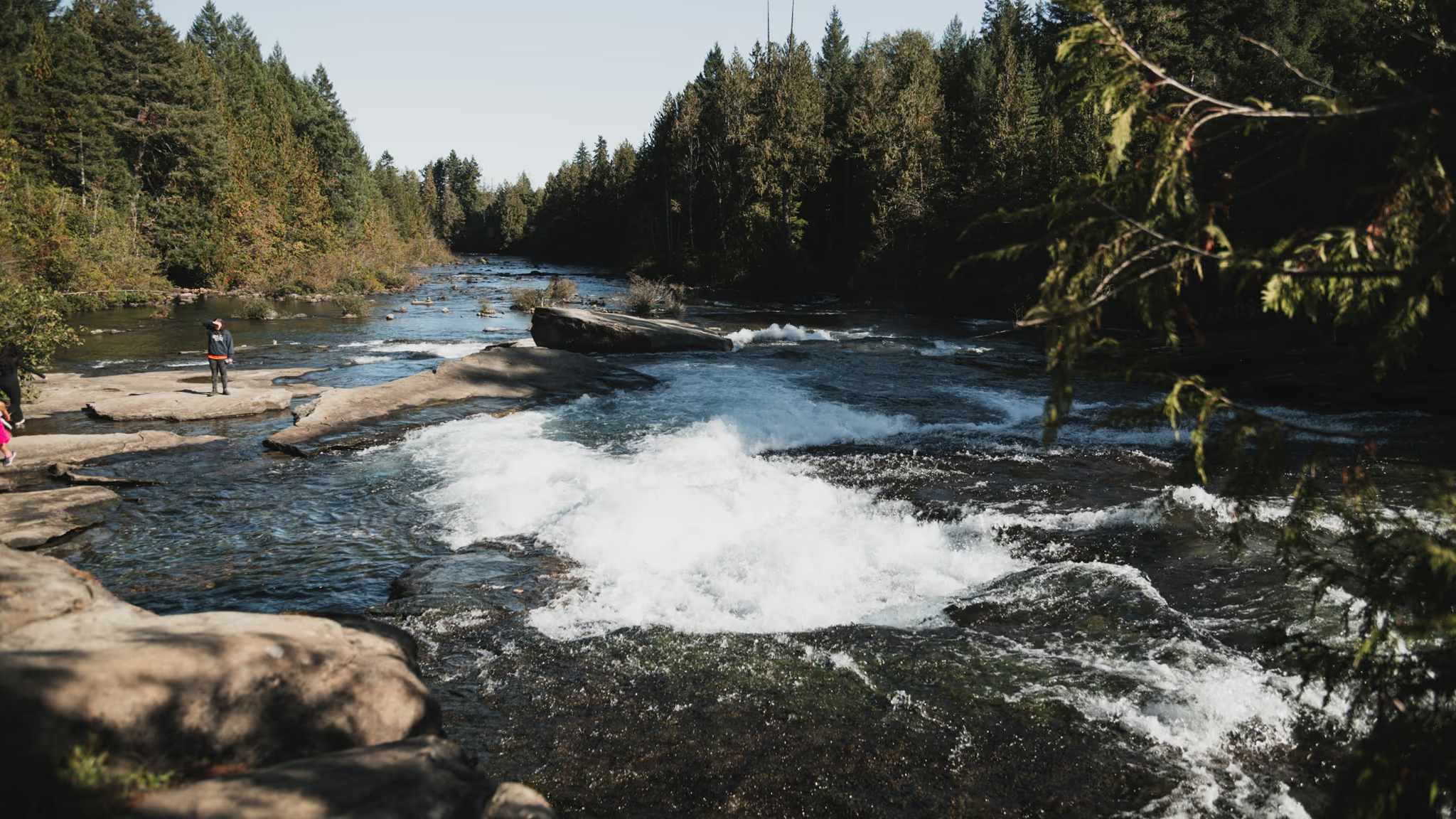
Nymph Falls Nature Park is a Comox Valley regional park on the Puntledge, not a provincial park, and not the canyon at Elk Falls. From the signed lot, the map board says 600 m to the falls. That is the walk. You hear the water before you see the whole ledge.
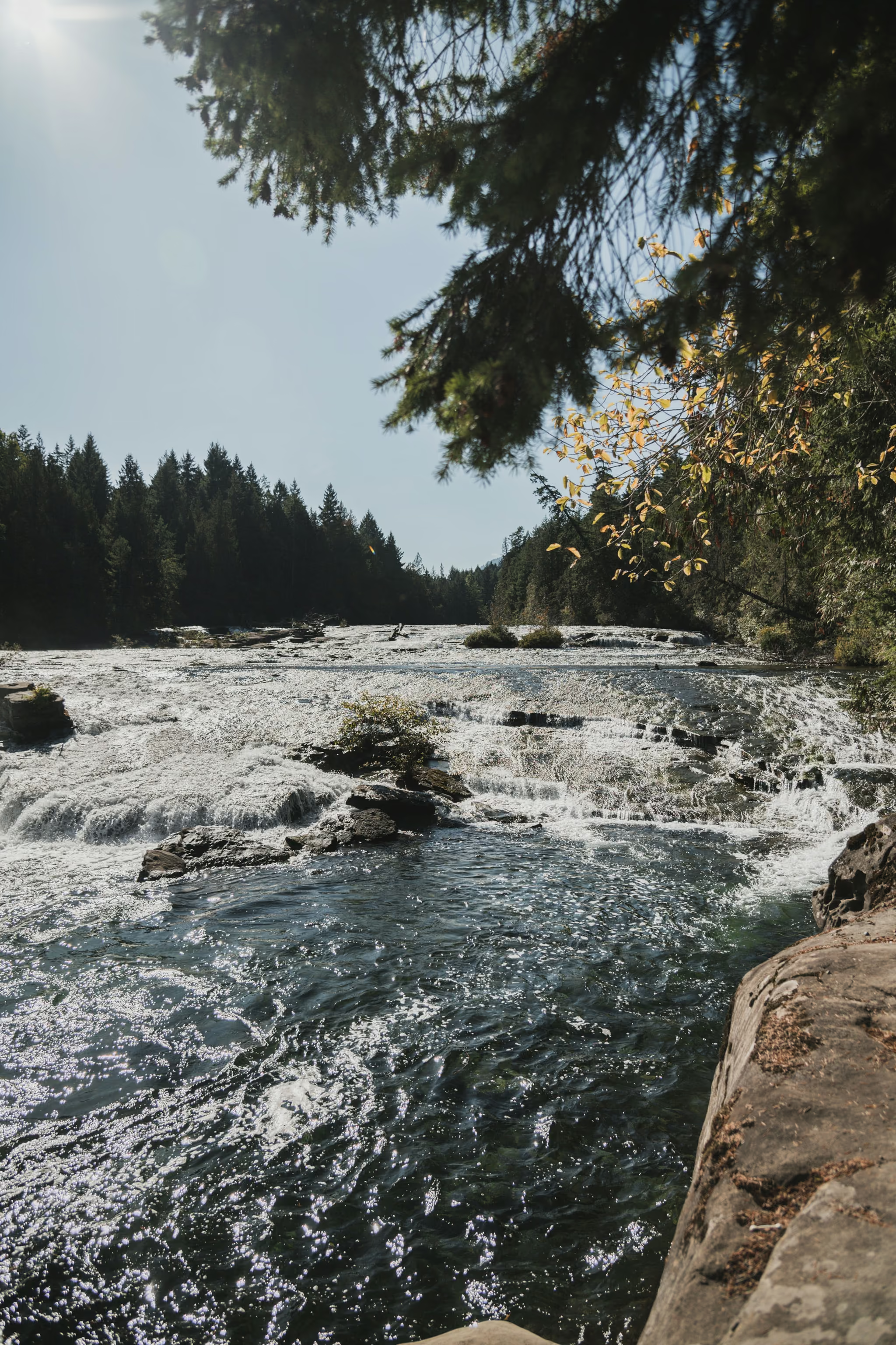
What you get is a wide river on rock: white water stepping down over terraces, forest on both banks. People stand on those shelves in summer. On 30 September the river was up enough to show the steps and I stayed off the wet rock. High water is not a swimming day. The current is not a pool-lane current.
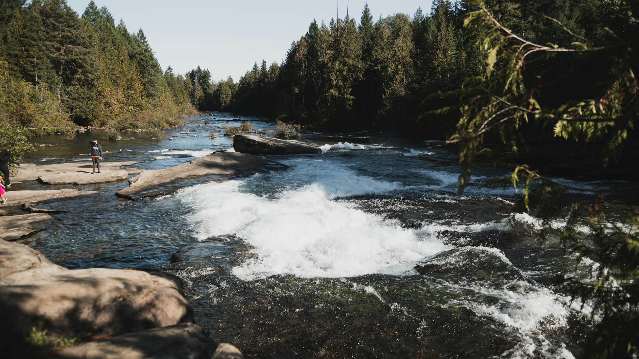
Photograph it as a river, not as a slot. Polariser, overcast if you can get it, a quarter-second to one second from solid ground. Hard sun turns the foam into a hole. The full walk, where to park, and the connecting trails toward Comox Lake Dam are on the Nymph Falls guide. You do not need the extra kilometres for this stop.
Elk Falls
From Nymph, back to Highway 19, north into Campbell River, then Highway 28 west toward Gold River. Elk Falls Park Road is signed. Upper day-use lot, toilets, no day-use fee. Quinsam Campground is 3 km back toward town and is a different entrance.
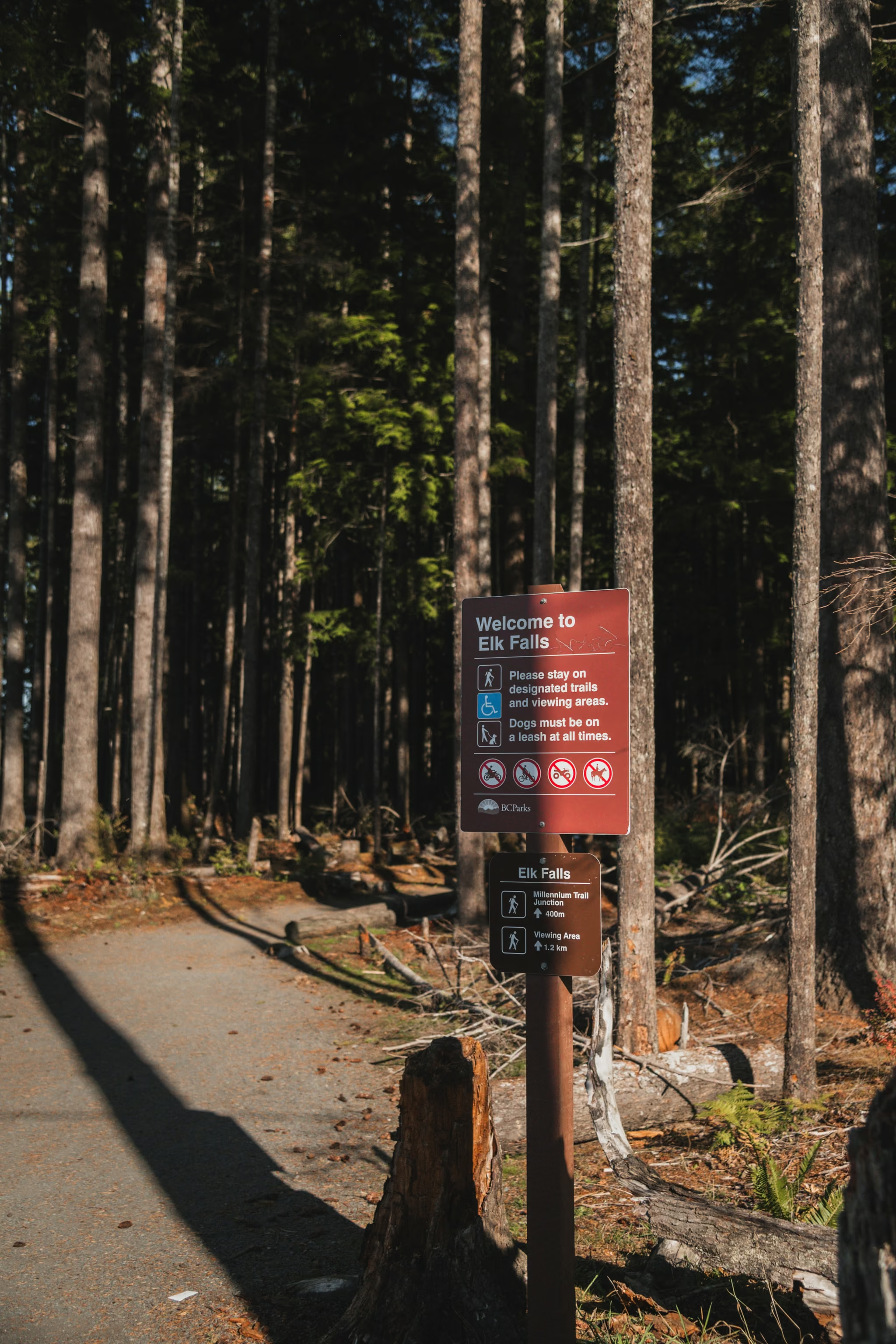
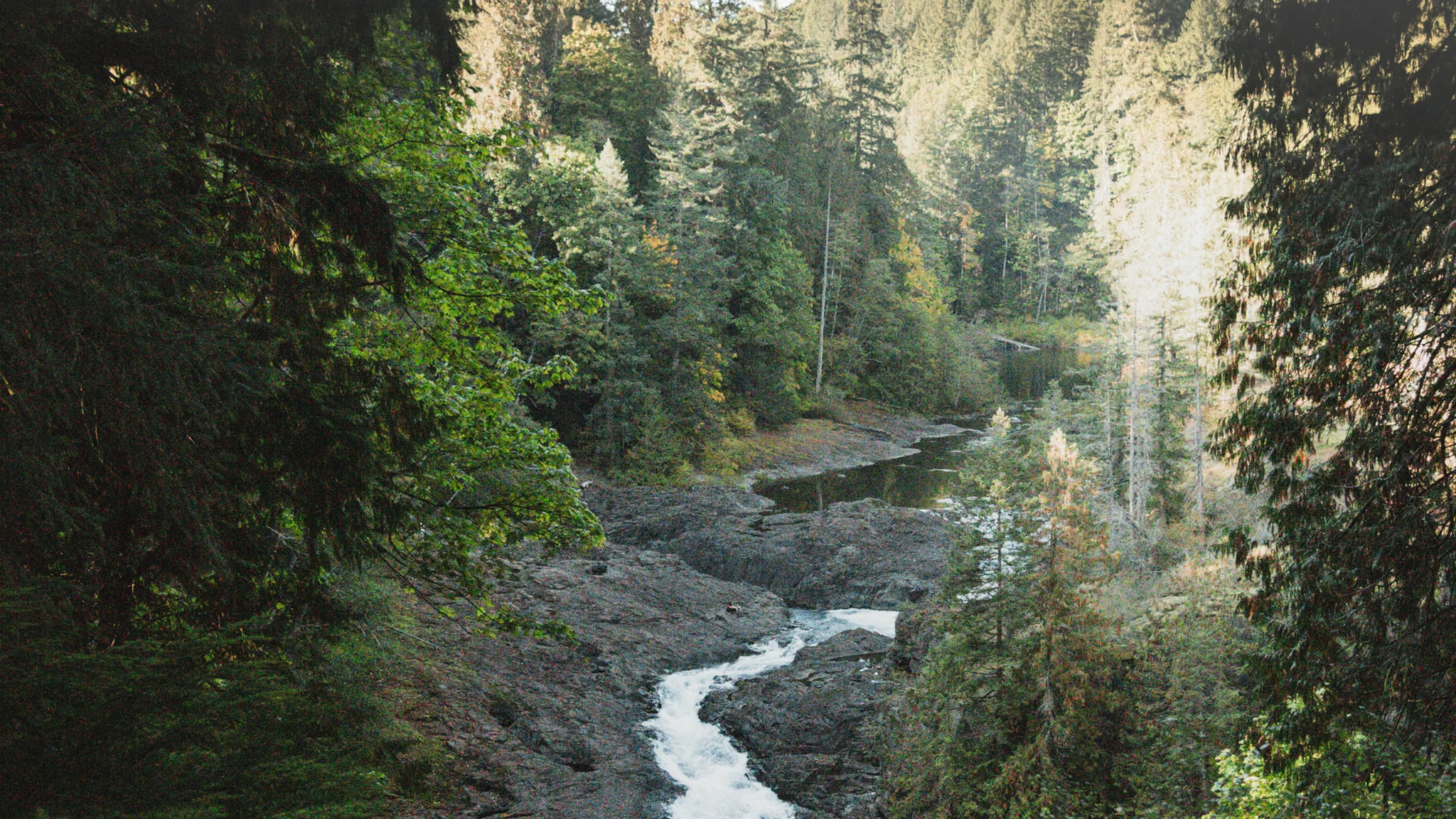
This is the north Island's honest short waterfall: about 800 m of wide gravel, then stairs down to a 60-metre suspension bridge hung 64 m above the canyon, and fenced decks looking at a 25-metre fall. Most people are on the bridge in fifteen minutes. It is not a hike. It is a very good fifteen minutes, and it is the photograph that is actually of this park.
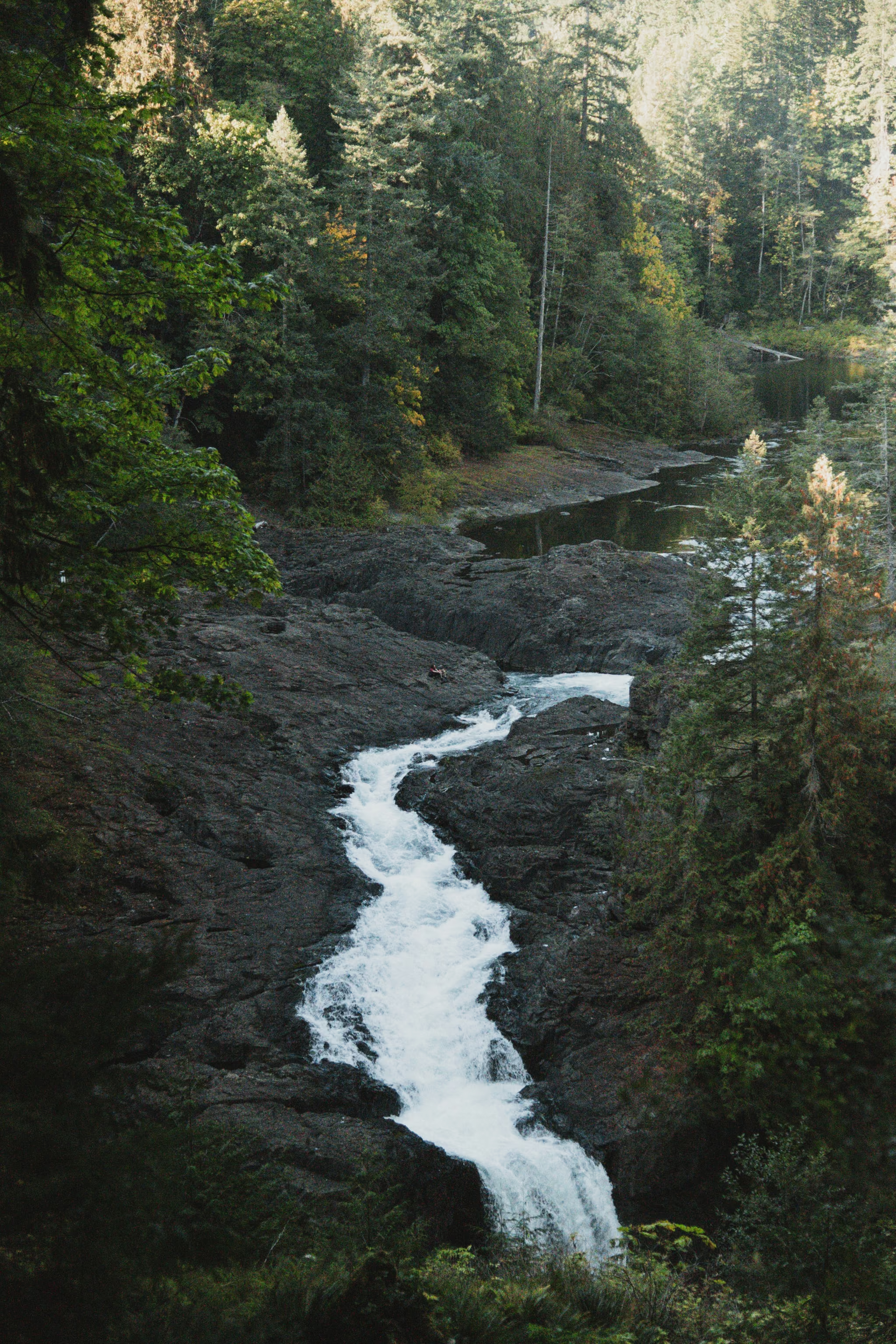
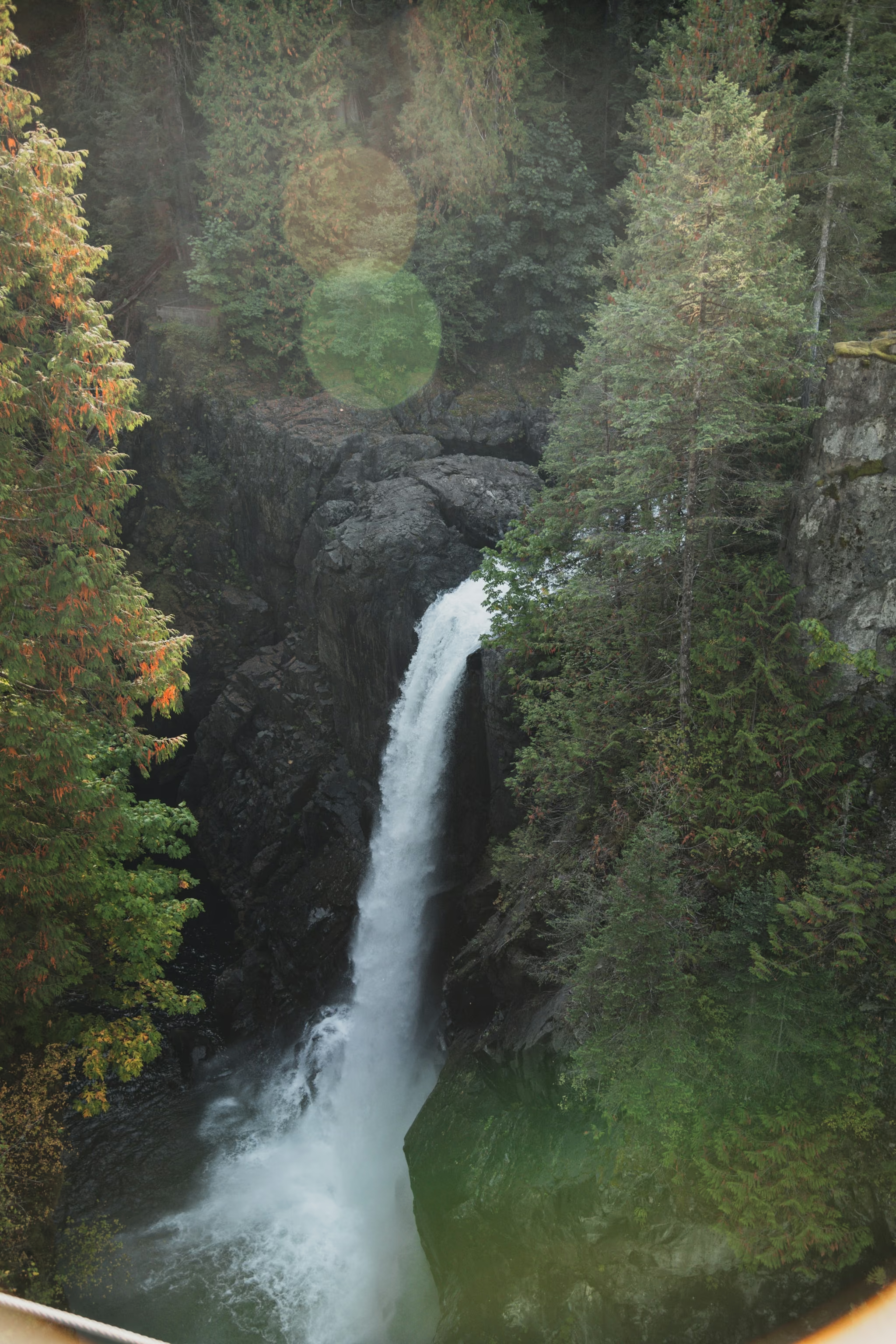
Stay on the decks. The rock is wet, the drop is real, and the span flexes when people walk. Drones are prohibited. Overcast is the correct light. I shot it in sun and paid for it in the water. Distances, the rim view before the bridge, and how to time a long exposure on a bouncing span are on the Elk Falls guide.
Sleep in Campbell River if you want a quiet night, or keep driving. Port Hardy is still about two hours of highway. Fill up before you leave town either way.
Day 2: Port Hardy and the gravel
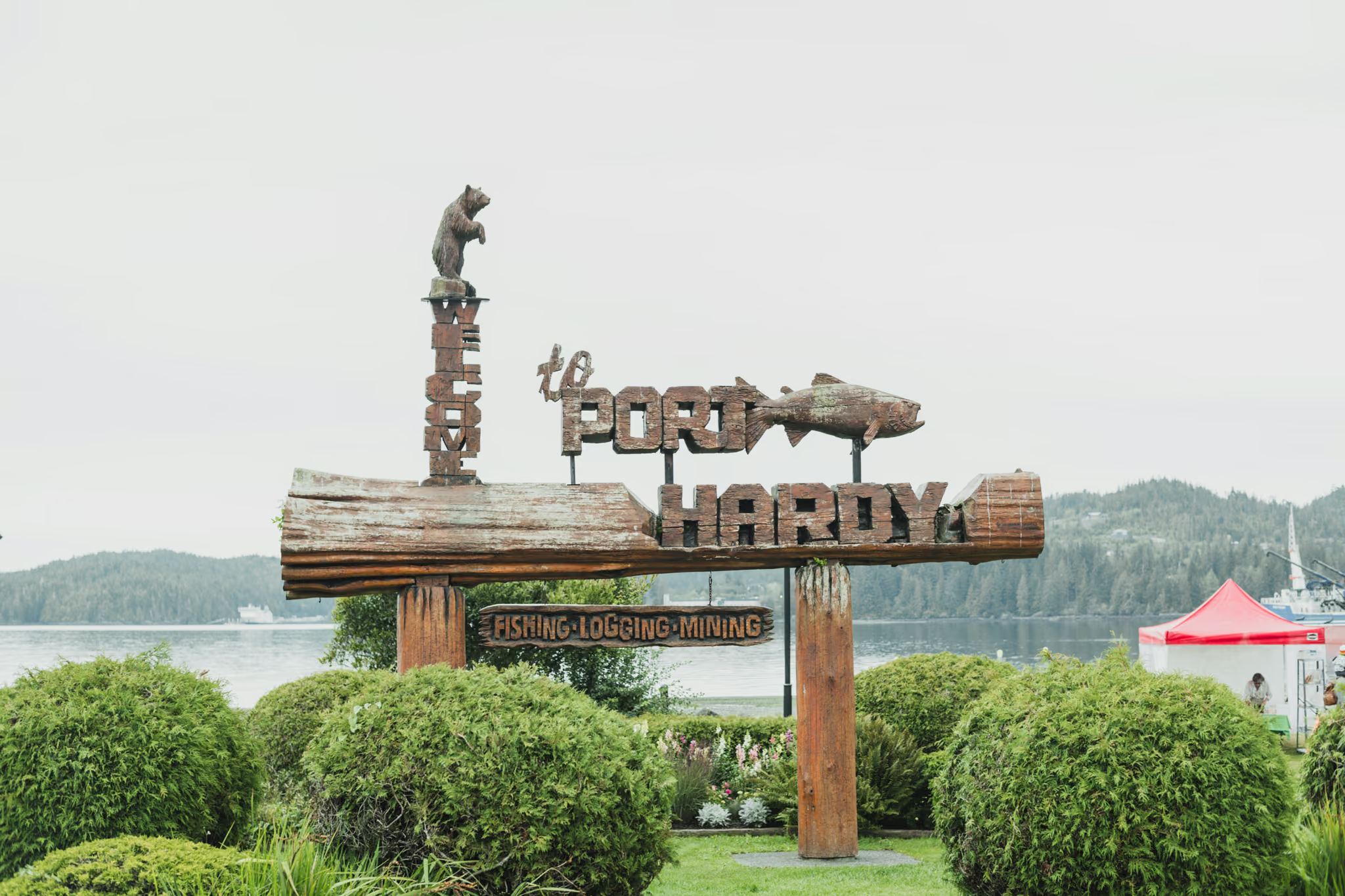
Port Hardy is fuel, food, a spare you have already checked, and the last cell service you should count on. The welcome sign on the harbour is the town telling you what it is: fishing, logging, mining. Fill up here. There is no recovery on the Holberg road.
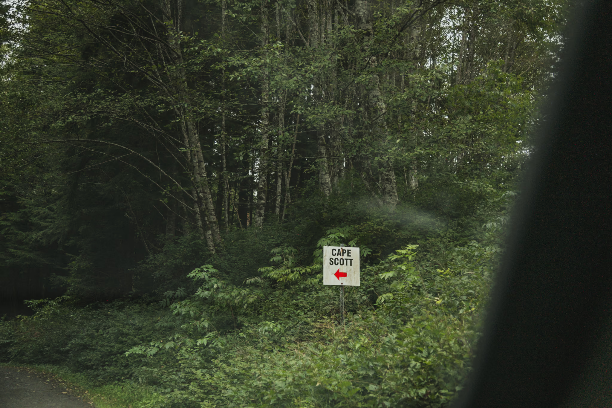
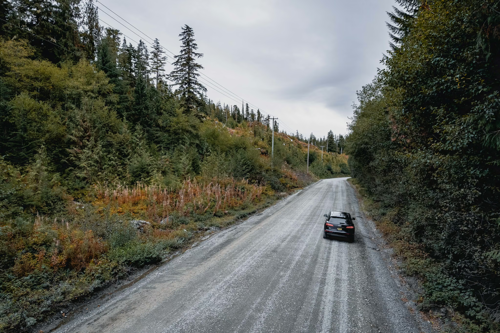
The logging road is Western Forest Products land for much of the approach. Loaded trucks have right of way. A full-size spare and the tools to fit it are not optional. BC Parks is plain about the trailhead lot: it is a courtesy, it is not patrolled, bears have broken into vehicles. Food in the trunk. No garbage service. Pack it out.
Day 3: San Josef Bay, then home
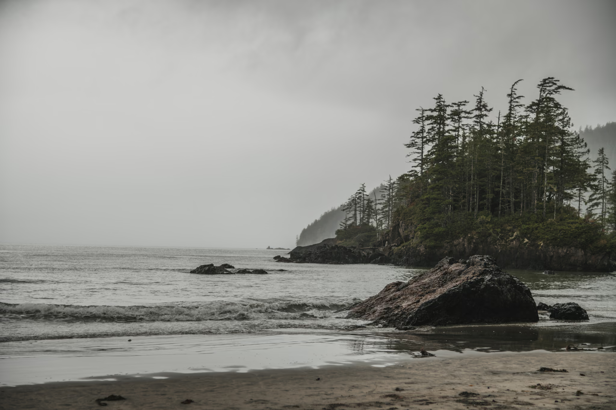
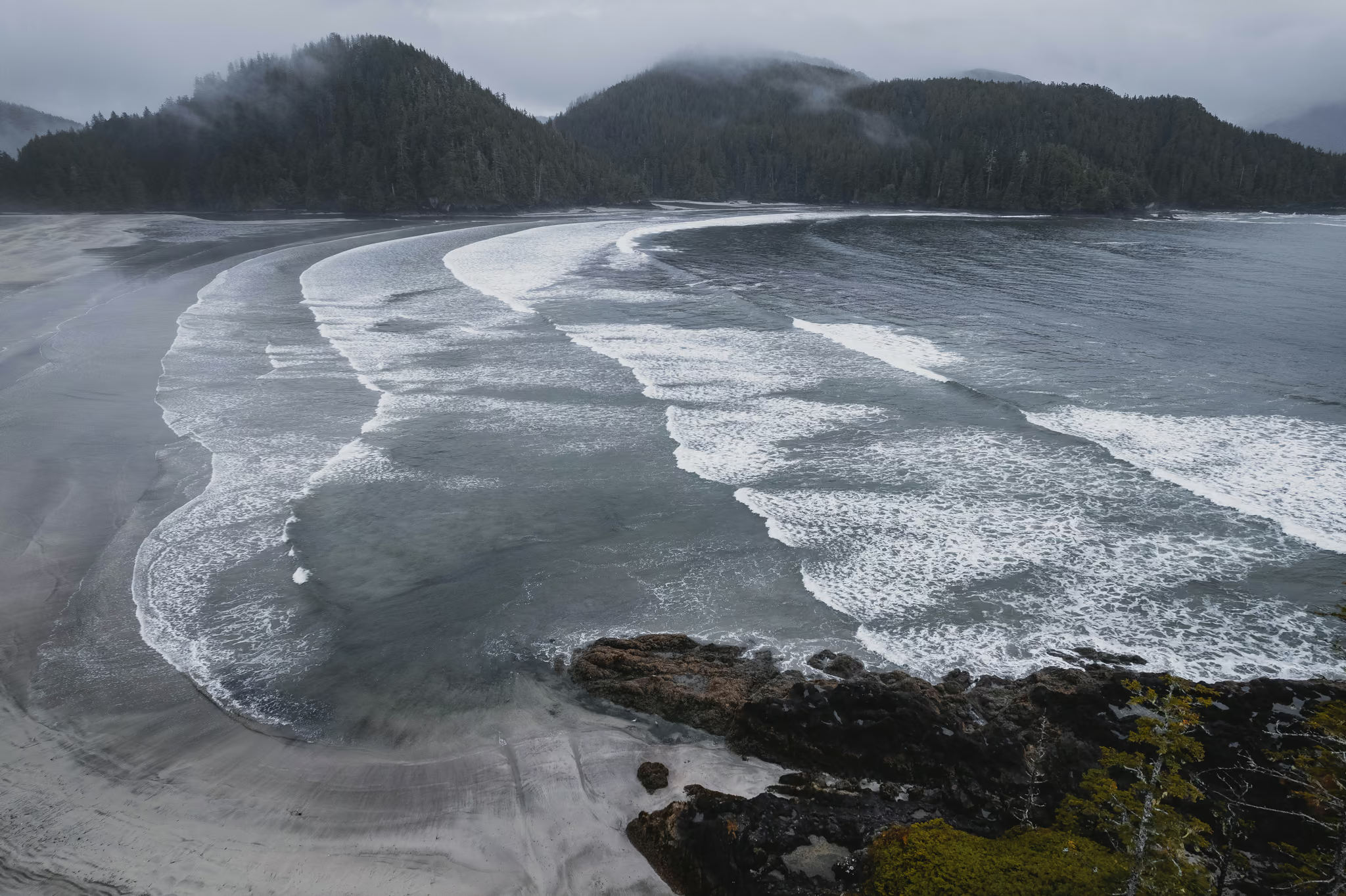
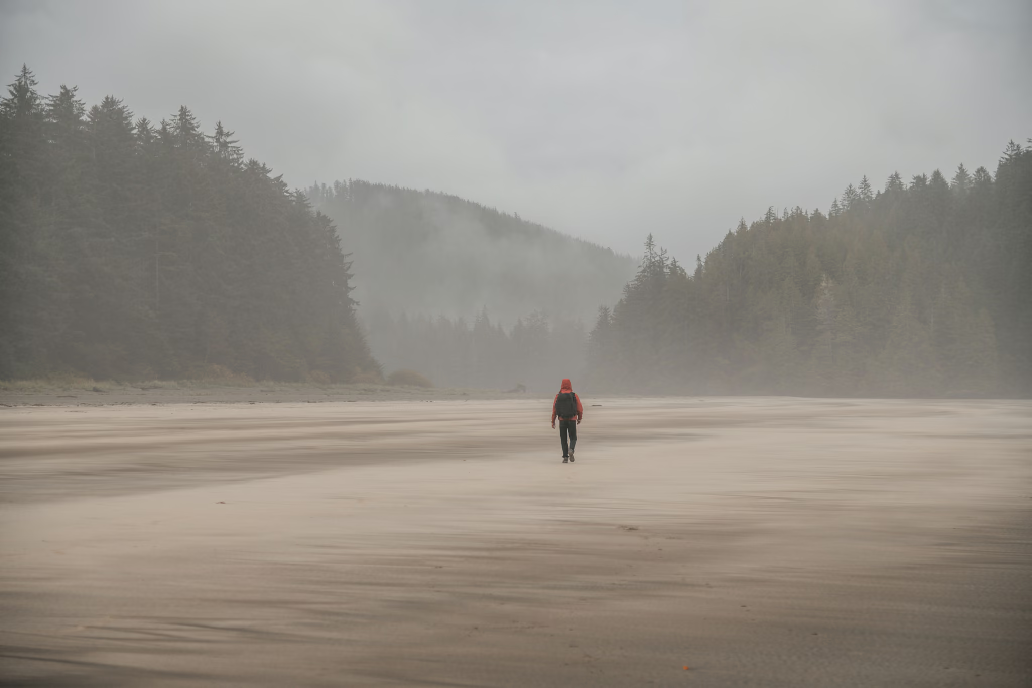
Fog on the beach most of the morning is normal here. The sea stacks at the second beach are the reason the gravel exists. Walk the 5 km return, sit in the weather, and do not turn this into a Cape Scott lighthouse mission unless you already planned the extra kilometres and the overnight permit.
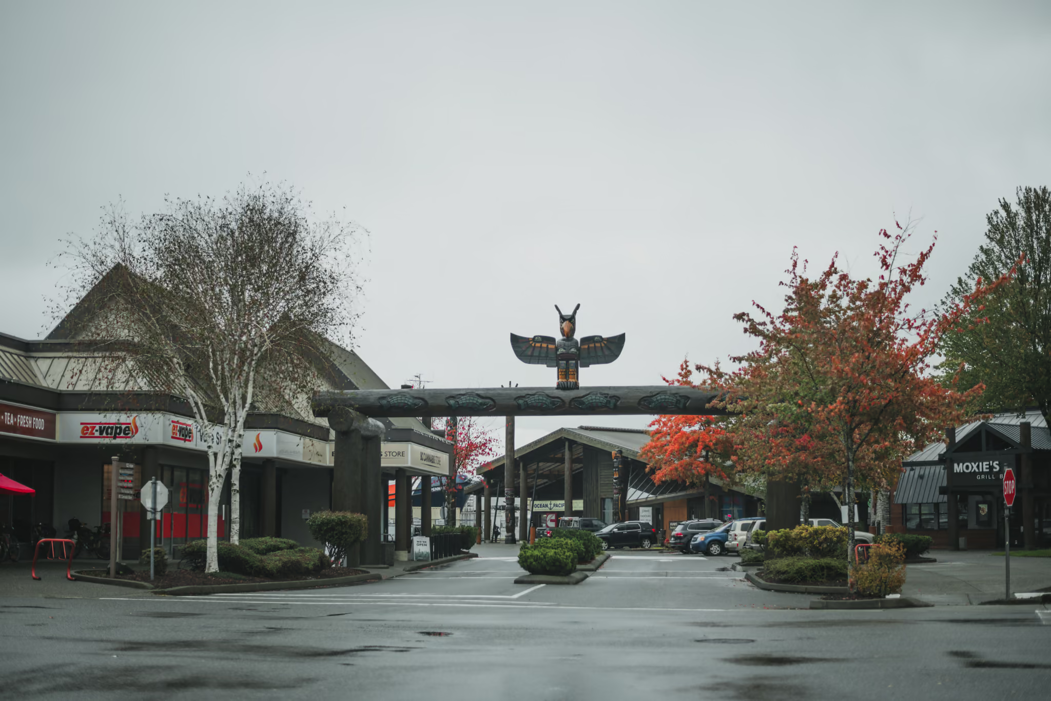
Back in Port Hardy the Thunderbird arch is the town, not the park. Wet asphalt, autumn trees, working storefronts. Then the long highway south. I would not book a same-day ferry from Nanaimo after San Josef unless the gravel and the highway both behaved.
Camping at the bay is $10 an adult a night in season, cash at the self-registration if you did not buy online. Day hiking is free.
30 September: Comox Valley, Nymph Falls, Elk Falls. 1 October: Port Hardy, Cape Scott road, north-Island coast. 2 October: San Josef Bay in fog, then town. Boardwalks wet. Two hours on the gravel. I flew a drone on the Holberg road and over the bay. That is not current park policy. Do not fly in Cape Scott.
Reported by Parveen Singh
Trails on this trip
Full guides for every hike in the itinerary - distances, conditions and where the light lands.
 Vancouver Island
Nymph Falls: 600 Metres to the Puntledge, and a Comox Valley River Walk
The honest short river stop west of Courtenay - a 600 m walk to wide ledges and white water, not a slot canyon, and not Elk Falls. Worth it if you are already in the valley. Stay off the wet rock when the river is up.
- Distance: 1.2 km
- Elevation gain: 20 m
- Difficulty: Easy
 Vancouver Island
Elk Falls: A 25-Metre Drop, a Free Suspension Bridge, and a Campbell River Stop
The north Island's honest short waterfall stop - a free 60-metre span over a real canyon, a 25-metre drop, and a gravel walk that is over in twenty minutes. Worth the pull-off if you are already in Campbell River. Stay on the designated decks.
- Distance: 1.6 km
- Elevation gain: 40 m
- Difficulty: Easy
 Vancouver IslandPermit required: Permit
San Josef Bay: A 2.5 km Walk at the End of 64 km of Gravel
The easiest genuinely remote beach in British Columbia, and the difficulty is entirely in the 64 km of shot rock you drive to reach it - budget two hours for that road and carry a real spare.
- Distance: 5 km
- Elevation gain: 10 m
- Difficulty: Easy