Nanaimo to Tofino: Highway 4, Ucluelet, Shorepine Bog, and Long Beach
The west-coast Island trip worth the ferry: Highway 4, Ucluelet, Shorepine Bog, Long Beach, and a waterfall on each end. Three days if you want daylight on the coast. Do not treat Radar Hill as the hike. The bog and the beach are the walking.
Quick facts
- Length
- 3 days
- Driving distance
- 650 km
- Starts
- Nanaimo
- Ends
- Nanaimo
- Season
- Spring, Summer, Fall
The route
- 1Nanaimo
- 2Englishman River Falls
- 3Highway 4
- 4Ucluelet
- 5Pacific Rim National Park Reserve
- 6Shorepine Bog
- 7Radar Hill
- 8Long Beach
- 9Tofino
- 10Little Qualicum Falls
On this page3 sections
I drove this in early April 2024. The 4th was Nanaimo, Englishman River Falls, and the Highway 4 crossing into Ucluelet. The 5th was Shorepine Bog, Radar Hill, Long Beach, and the rocks at last light. The 6th was Little Qualicum eastbound.
The photographs on this page are those two west-coast days plus the highway in. Qualicum is linked as a hike because the frames already live on that guide. Sooke was the same afternoon as Qualicum. That stack is documented on the Sooke day. Do not build it into this schedule.
Day 1: ferry, a waterfall, the long road
Horseshoe Bay to Departure Bay, or Tsawwassen to Duke Point. Then Highway 19 to Parksville and off to Englishman River Falls if you have the daylight. The loop is stairs and a canyon. It is not why you came, and it is the best waterfall stop before you commit to Highway 4.
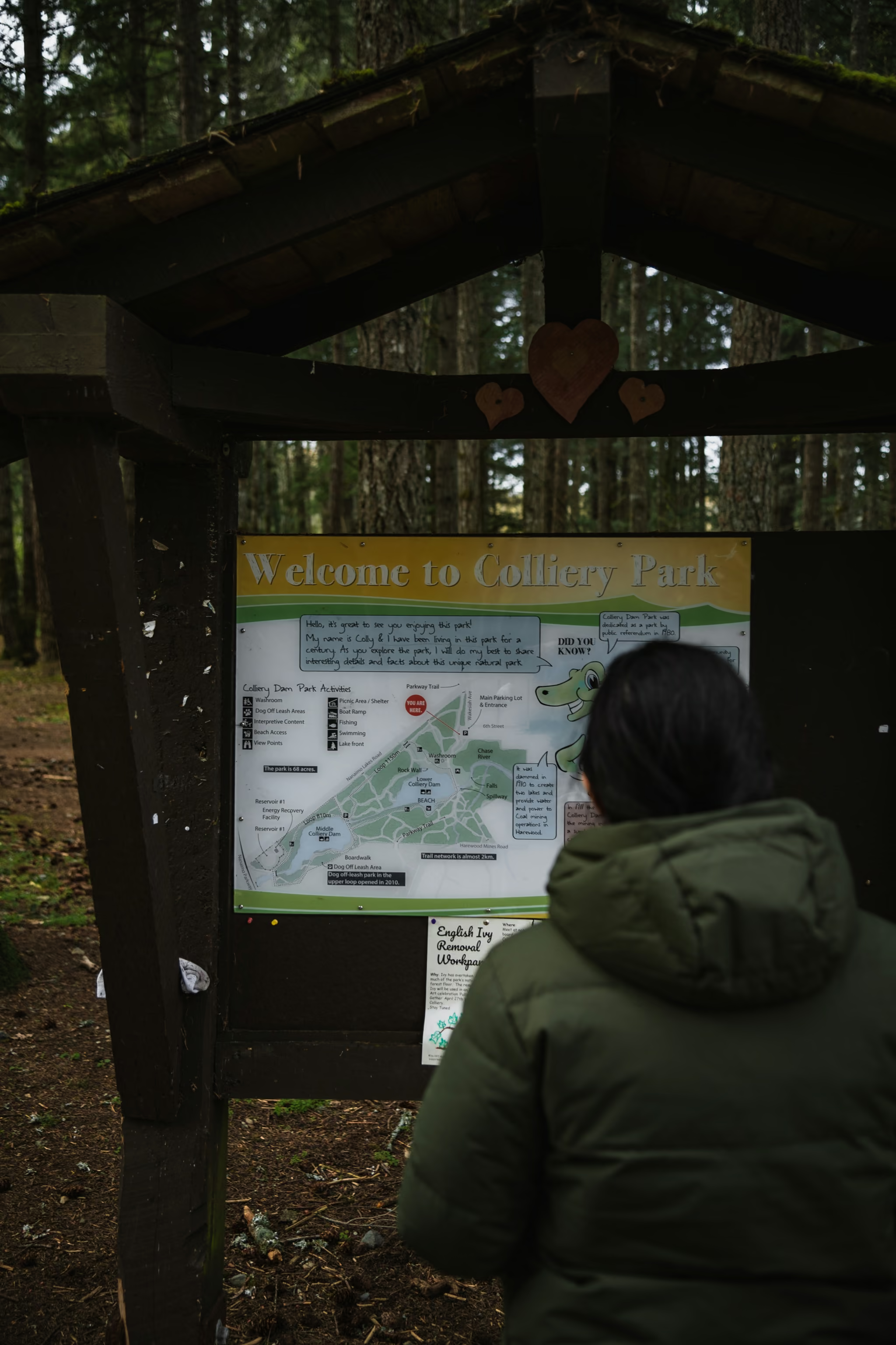
Colliery Dam Park in Nanaimo is a legs-and-map stop, not a destination. I stood at the kiosk on 4 April because the ferry dumps you into town and the west coast is still three hours away.
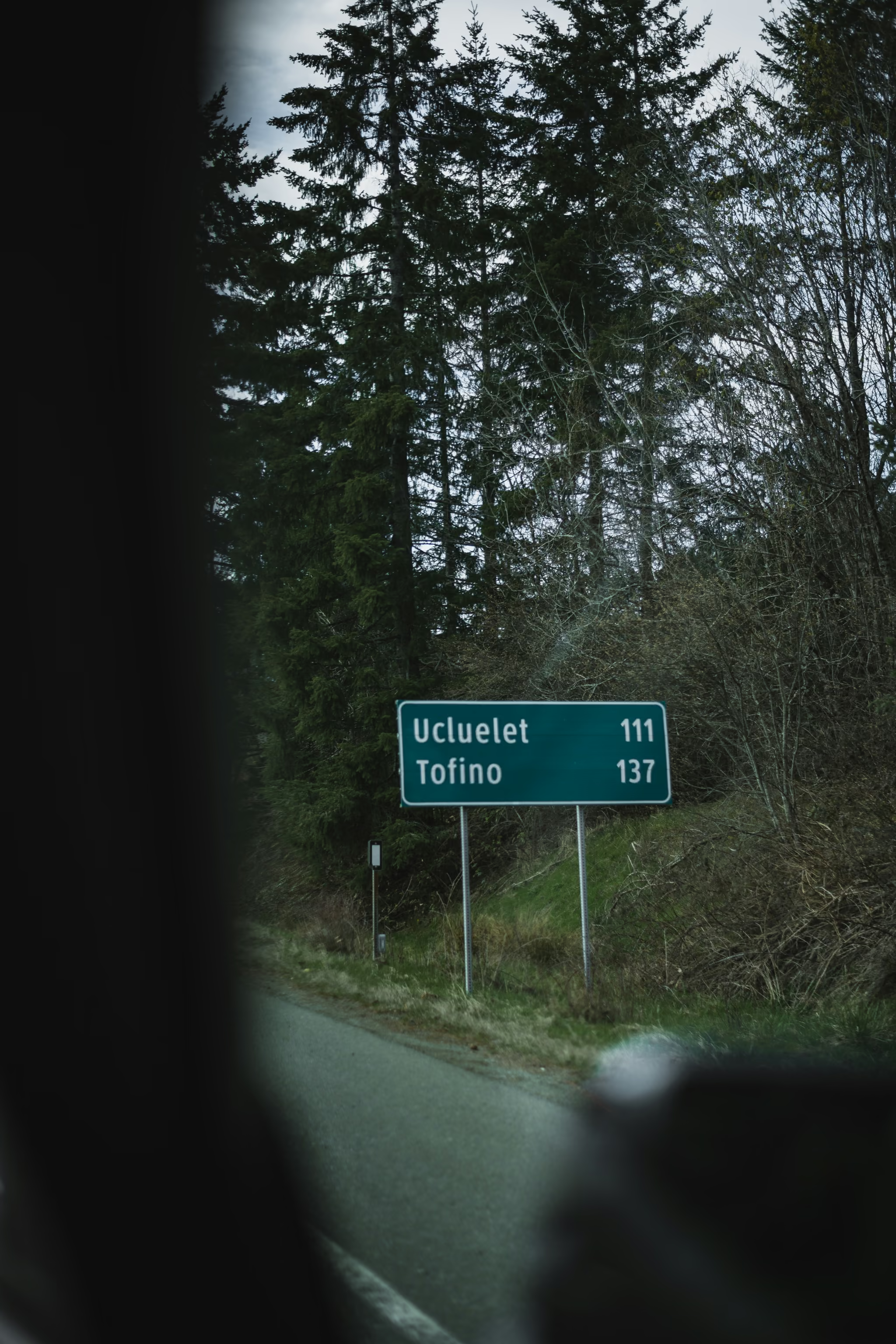
Highway 4 from Parksville through Port Alberni to the Tofino-Ucluelet junction is the spine. Cathedral Grove (MacMillan Provincial Park) is a signed pull-off in the same corridor. I did not make a frame of the grove that I trust enough to put here. The distance sign, the mill-site sign, and the two-lane through cedar are the drive I actually photographed.
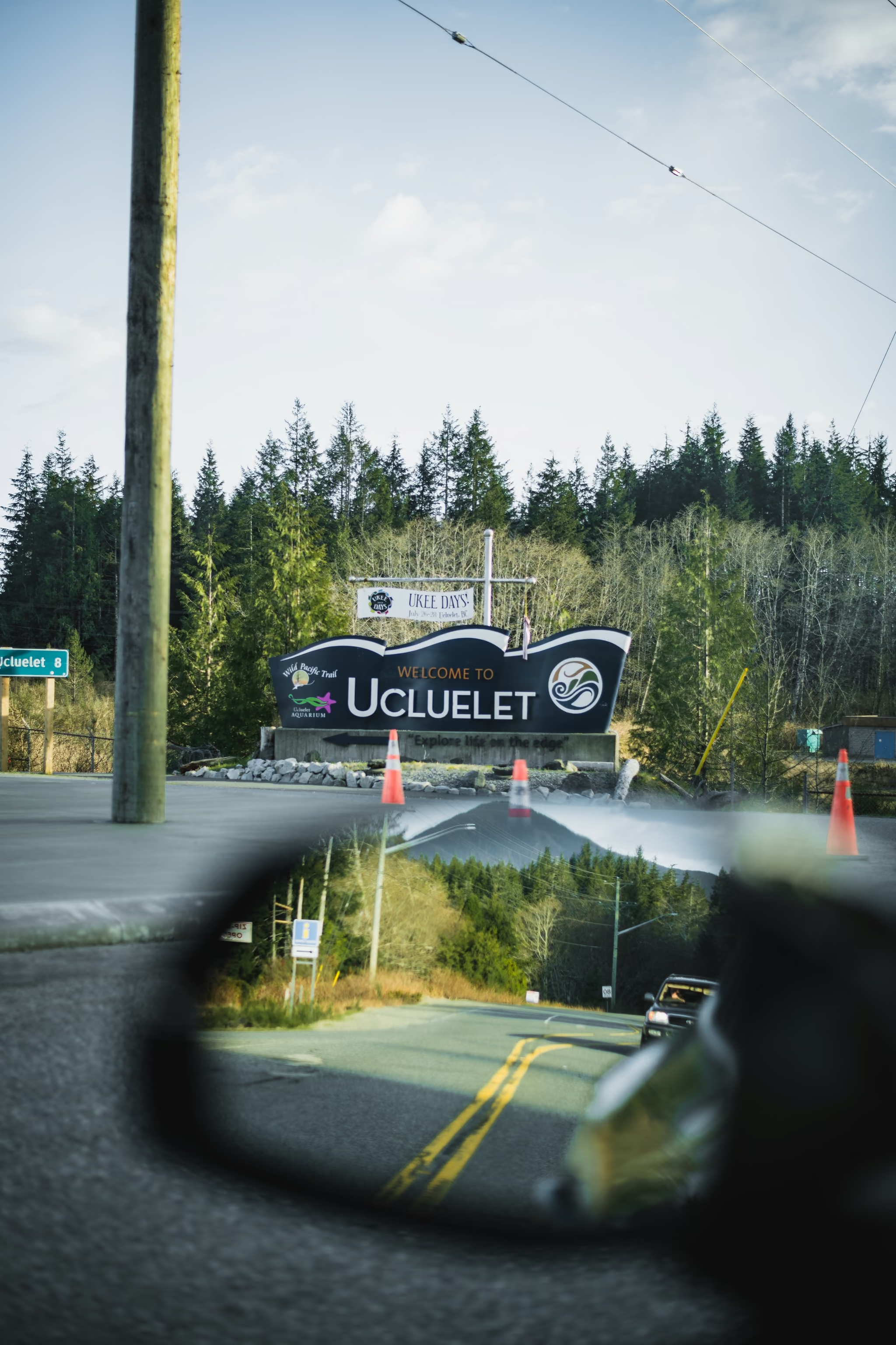
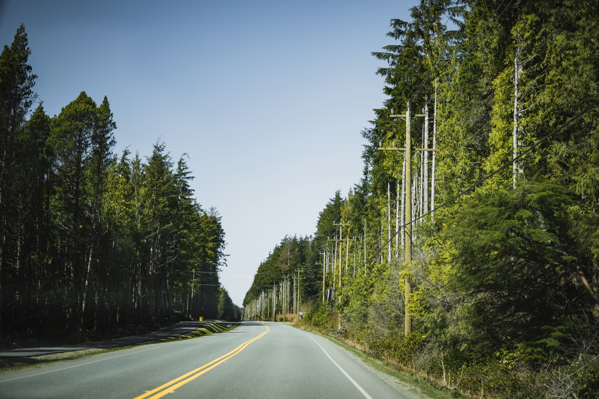
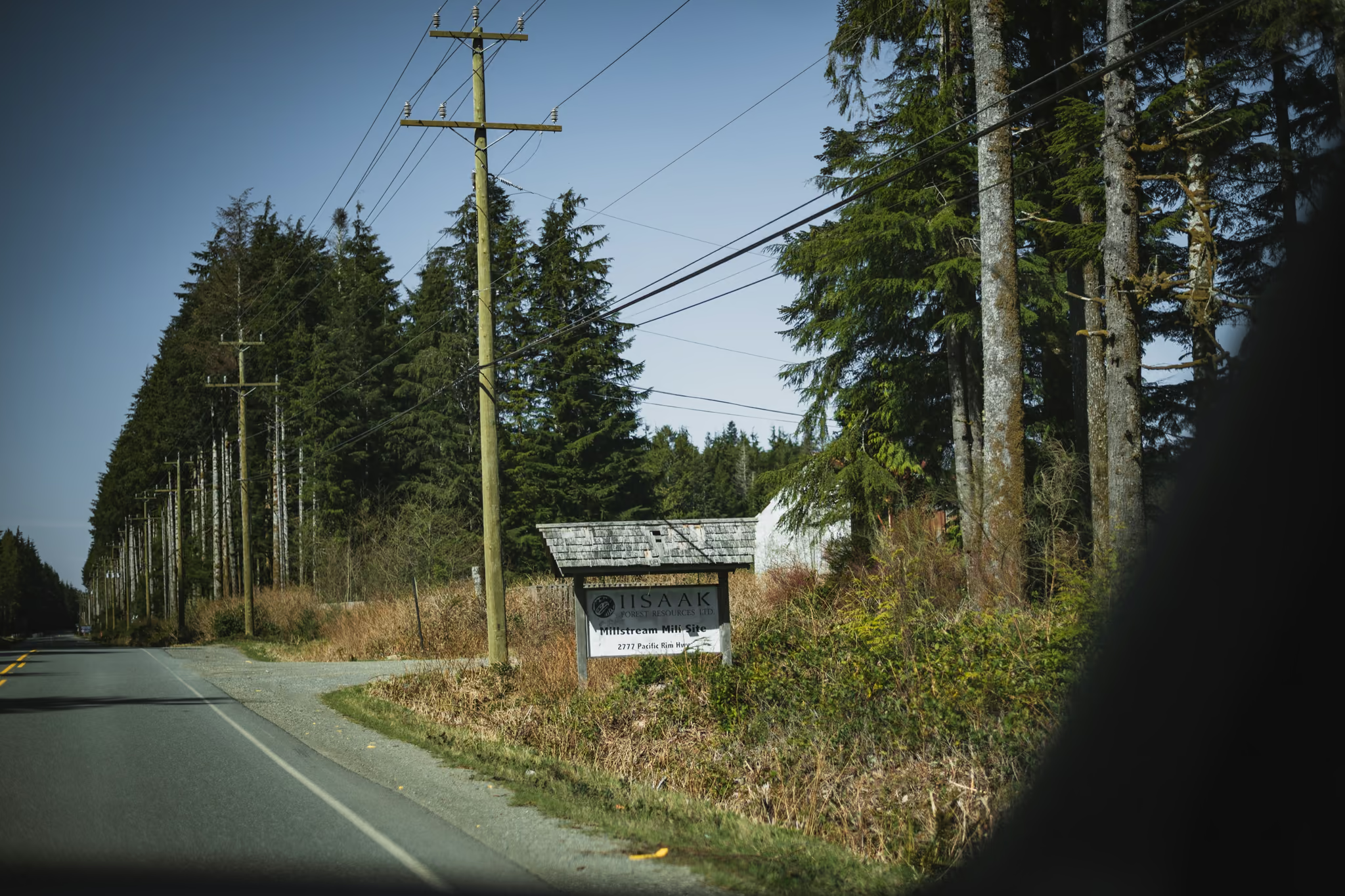
Sleep in Ucluelet or Tofino. Ucluelet is quieter and closer to the Wild Pacific Trail rocks. Tofino is the town people mean when they say this trip. I used both ends of the road.
Day 2: the park, the bog, the beach
Pacific Rim National Park Reserve charges a day-use fee at the gate. The cheaper Beach Walk Pass does not cover every lot. Radar Hill is one of the lots it misses. Recreational drones are prohibited in the park. Dogs on leash. Stay on the Shorepine Bog boards.
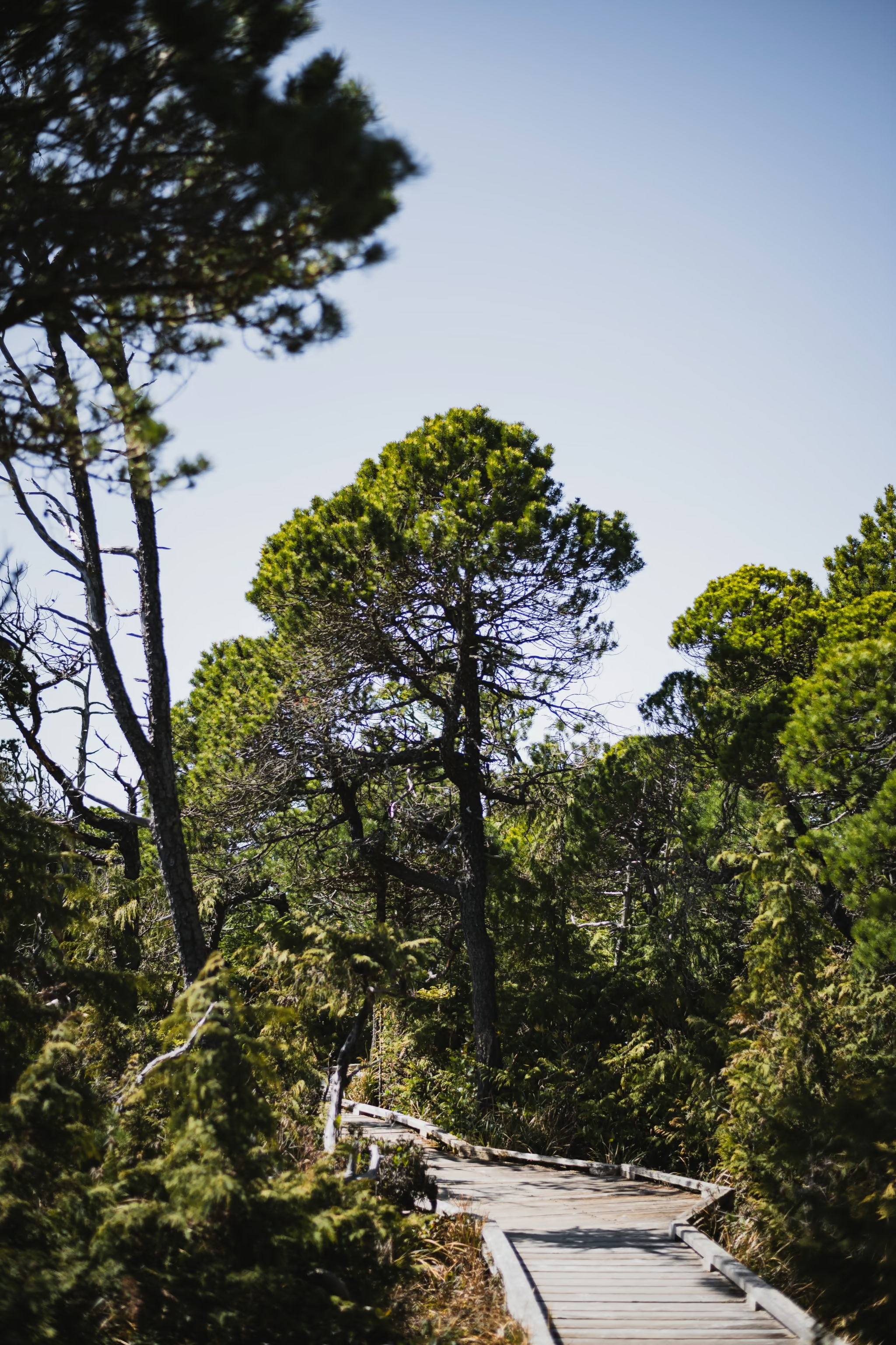
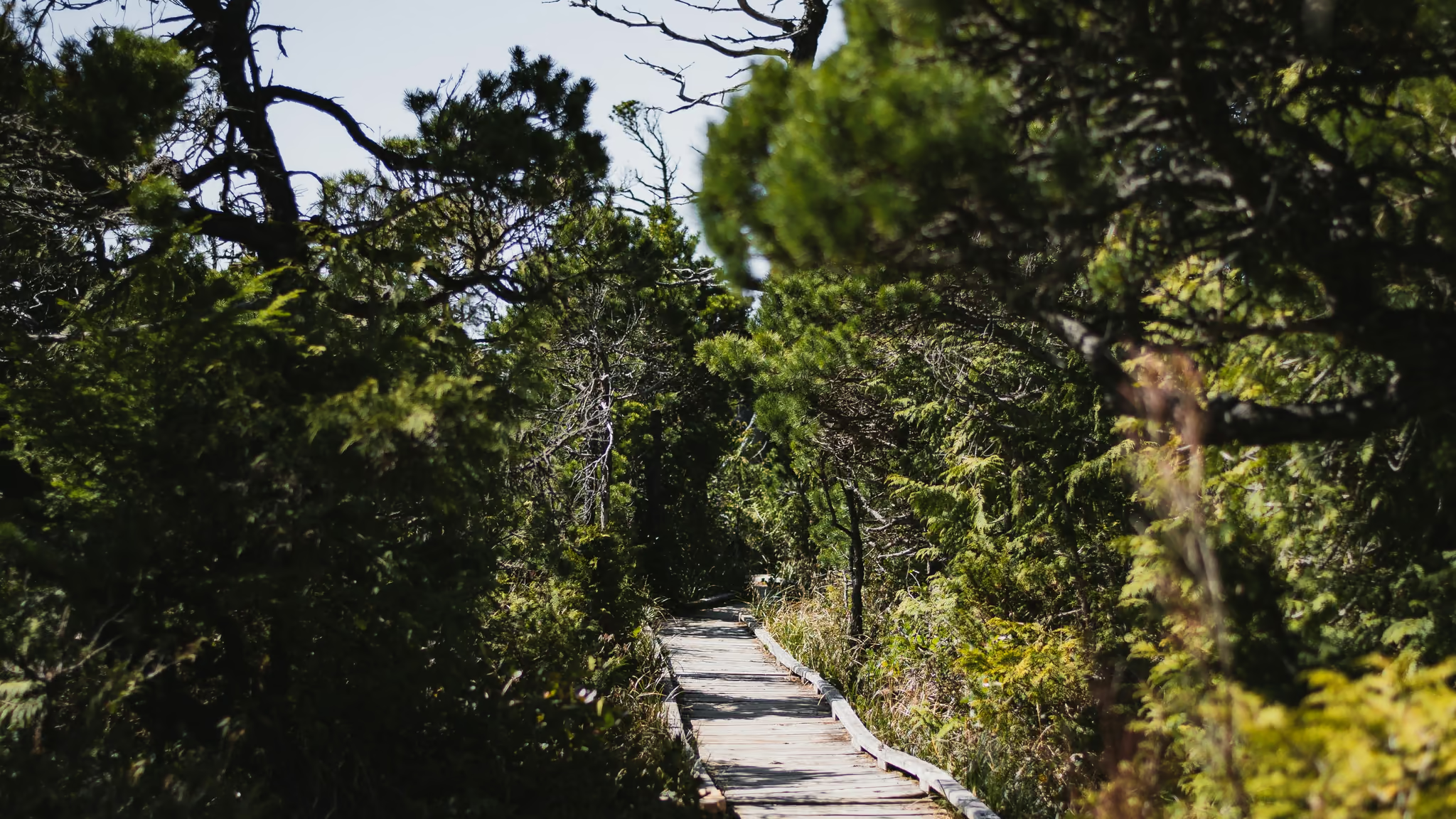
Shorepine Bog is 800 m and it is the honest short walk in the Long Beach Unit that is not a beach. Twisted shorepine, a bilingual sign, a warning that the boards are slippery. I walked it 5 April 2024 in hard sun.
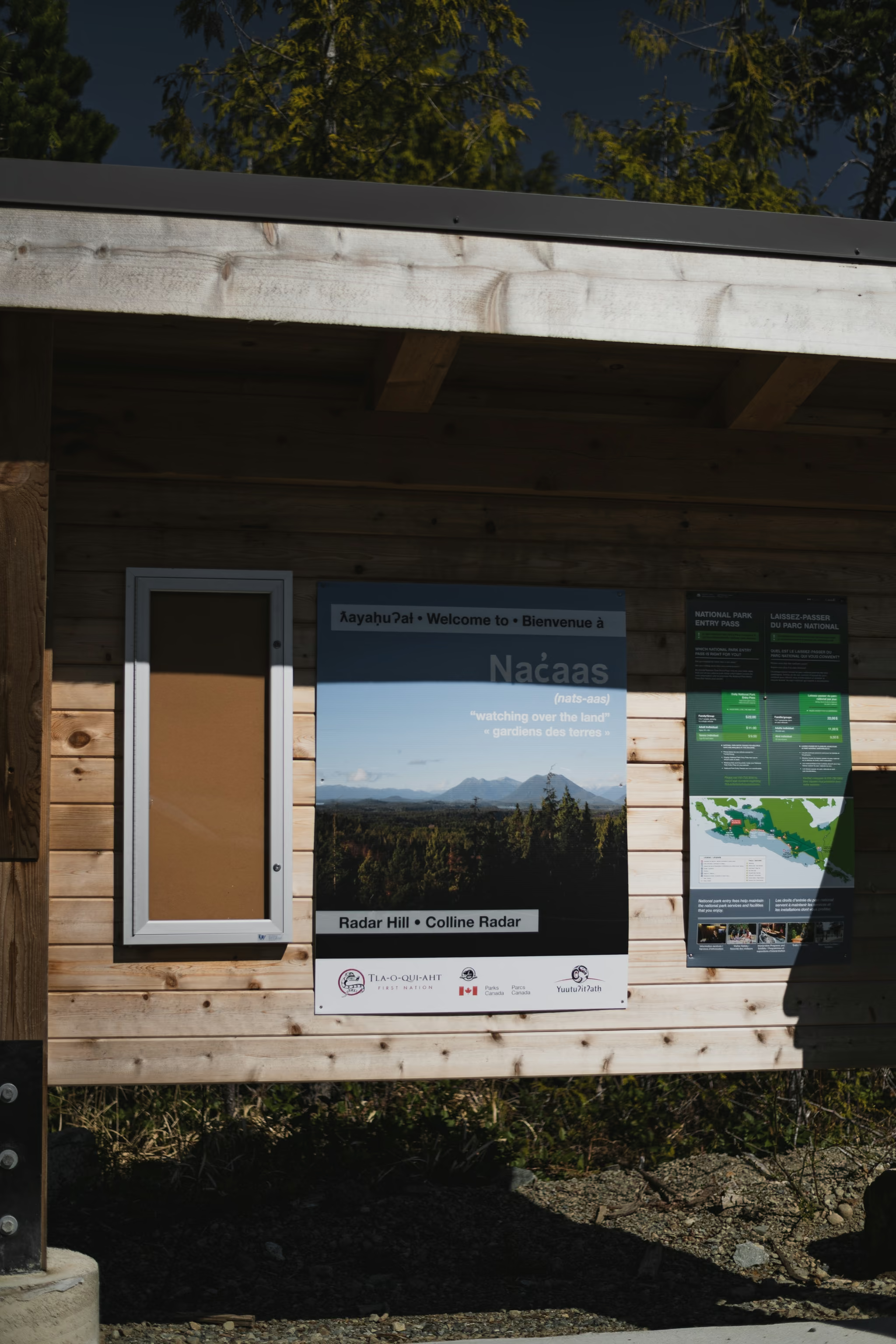
Radar Hill is a five-minute paved path to the highest viewpoint in the unit. I have the kiosk, not a clear panorama, because the marine layer does that here. Go up anyway if you are already paying the fee. Check the sky from town first.
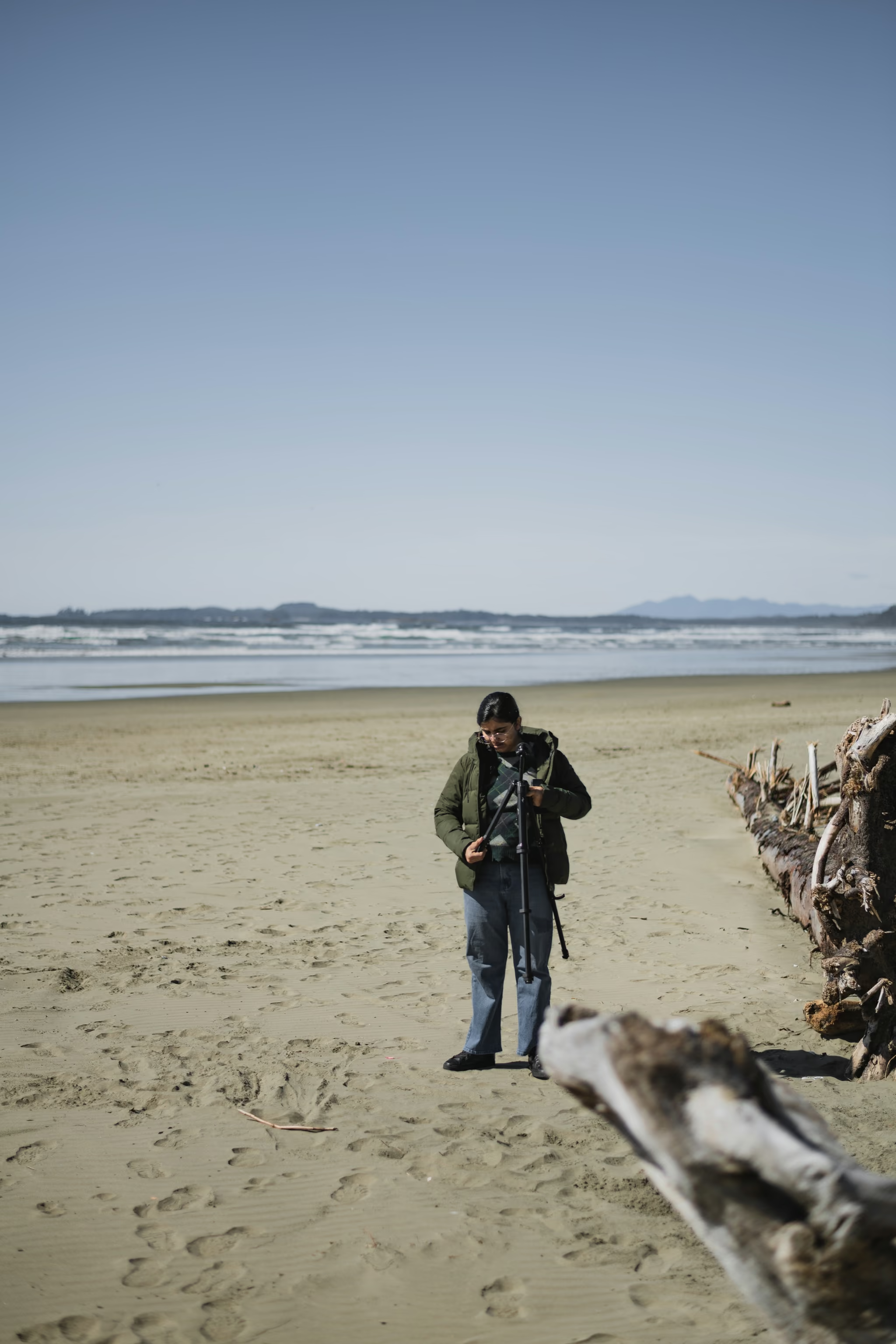
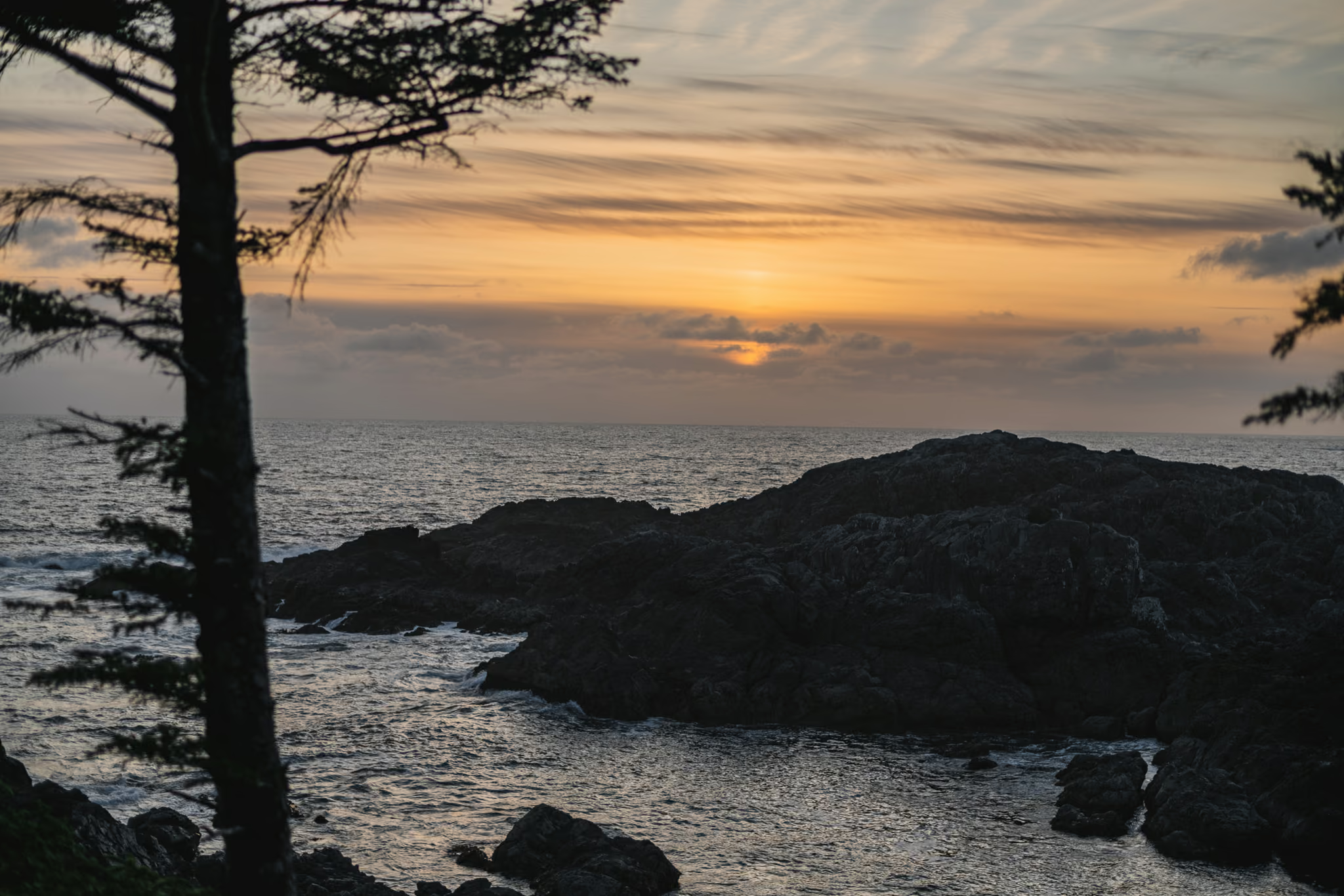
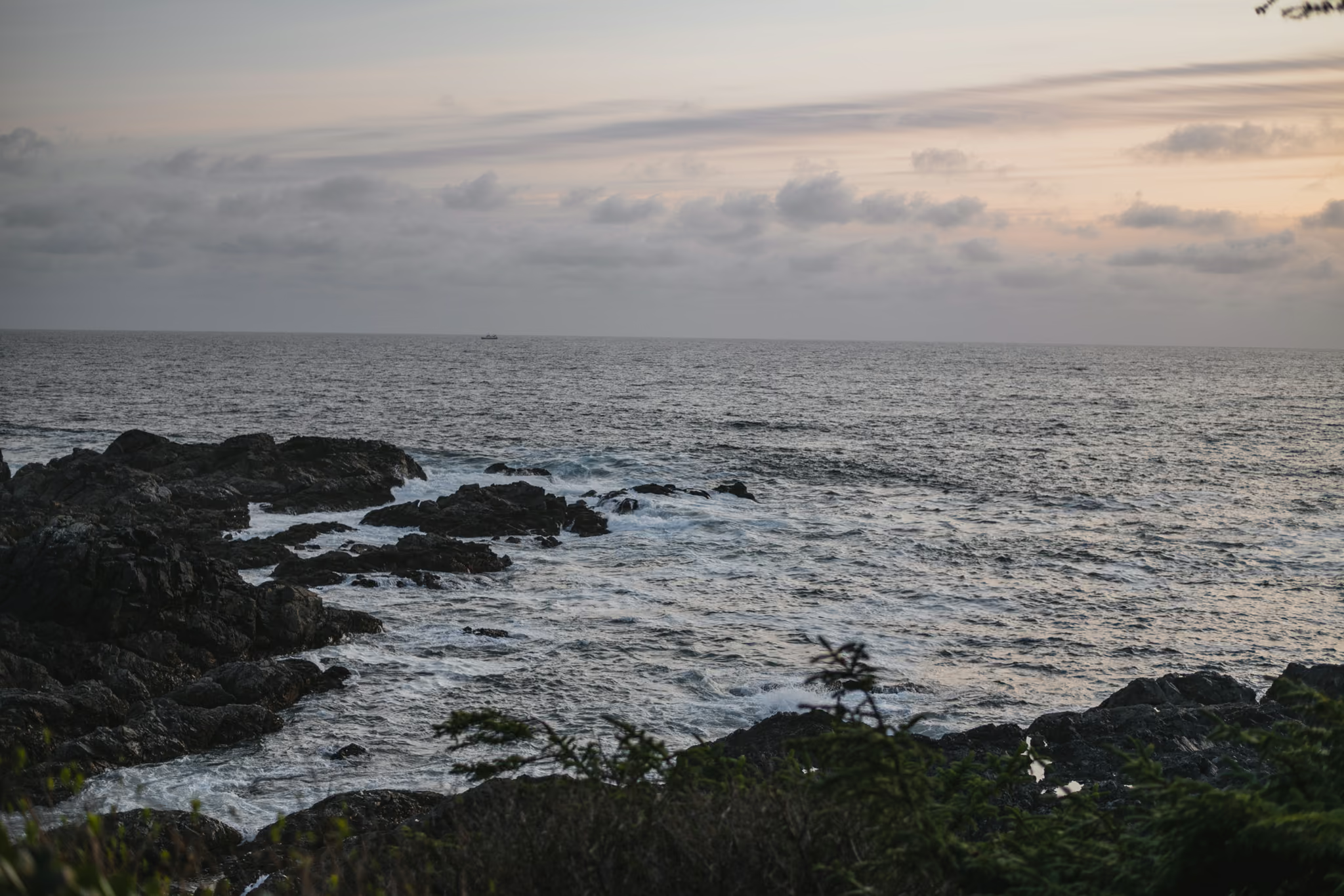
Long Beach is the sand. Tripod, driftwood, other people's footprints. This is a park beach with a fee, not a secret cove. Give it the afternoon. The rocks at last light are a different frame on the same coast.
Day 3: eastbound
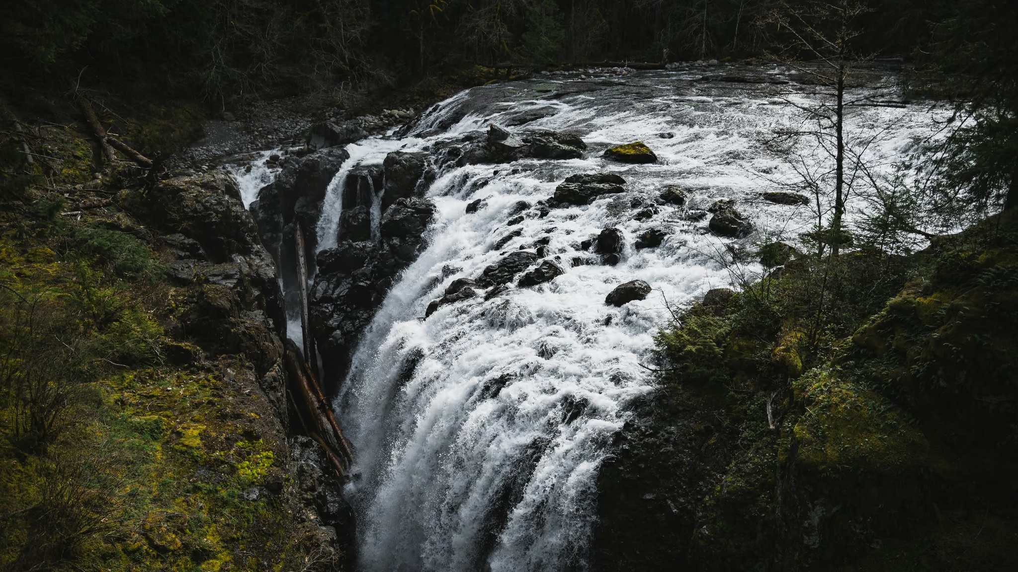
Leave the coast in the morning. Little Qualicum Falls is signed on Highway 4 west of Parksville and is the waterfall you can do without leaving the highway corridor. Englishman is the better canyon if you only have one, and you already did it on the way in. Qualicum is the mossy gorge on the way out.
Then the ferry. If you are somehow still pointed at Swartz Bay instead of Nanaimo, that is how Sooke happened on my 6 April. It is a different itinerary on purpose.
4 April: Nanaimo, Englishman River Falls, Highway 4 into Ucluelet. 5 April: Shorepine Bog in sun, Radar Hill kiosk, Long Beach, rocks at last light. 6 April: Little Qualicum eastbound. Park fee in effect. No drone in the park.
Reported by Parveen Singh
Trails on this trip
Full guides for every hike in the itinerary - distances, conditions and where the light lands.
 Vancouver Island
Englishman River Falls: The Other Highway 4 Waterfall, 9 km Off the Alberni Highway
The better canyon of the two Parksville waterfall stops if you will leave Highway 4. The loop is stairs and bridges, not a hike, and the upper drop is the photograph. Pair it with Little Qualicum. Do not drive to the Island for this loop alone.
- Distance: 2 km
- Elevation gain: 80 m
- Difficulty: Easy
 Vancouver IslandFee required: Fee
Shorepine Bog Trail: An 800 Metre Boardwalk in Pacific Rim, and No Beach
The honest short Pacific Rim walk that is not Radar Hill and not Long Beach - an 800 m boardwalk through twisted shorepine, sundews if you look, and a sign that says no beach access. Worth the stop if you are already paying the park fee. Stay on the boards.
- Distance: 0.8 km
- Elevation gain: 5 m
- Difficulty: Easy
 Vancouver Island
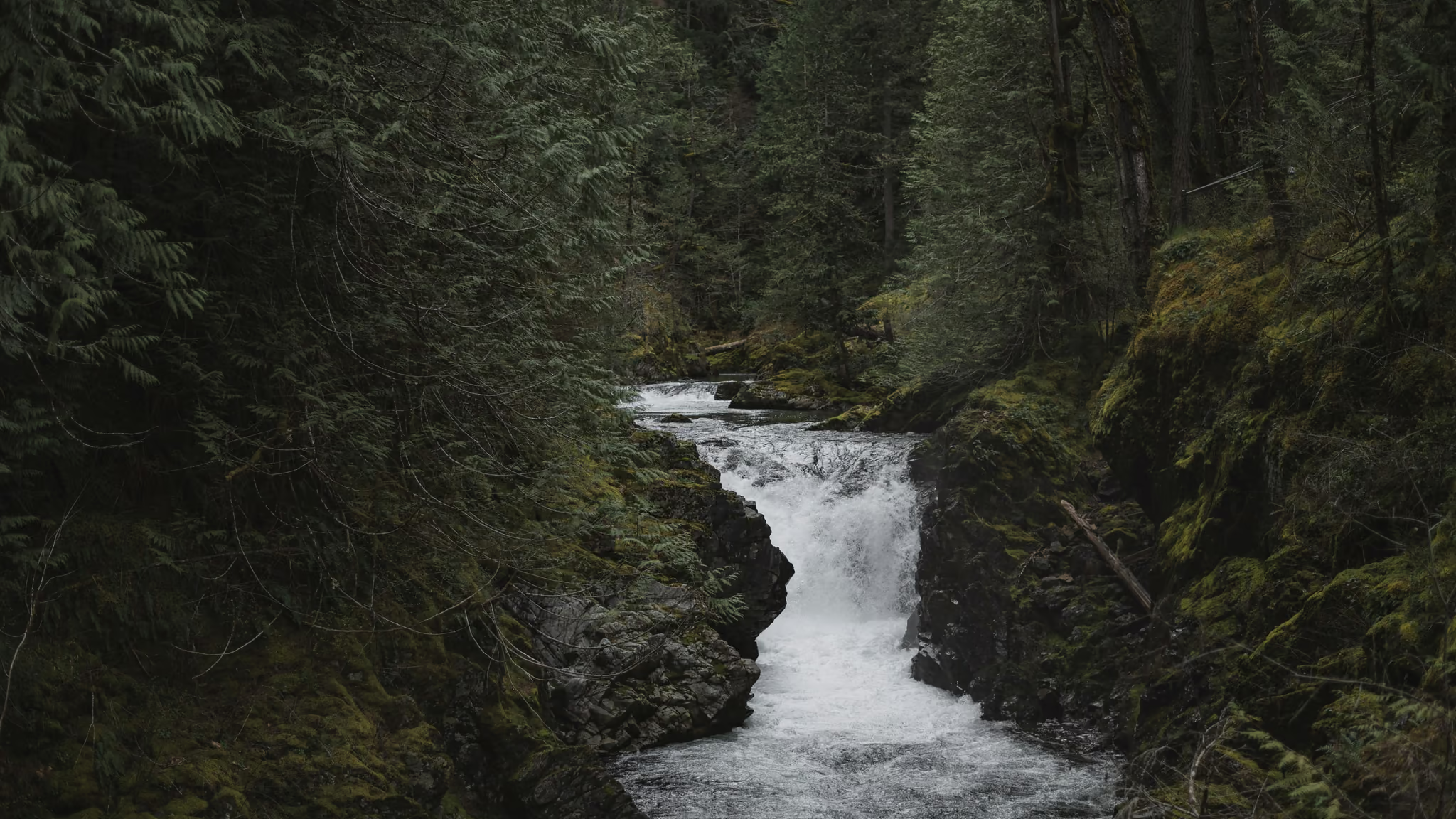
Little Qualicum Falls: The Highway 4 Stop Between Parksville and Cathedral Grove
The best short waterfall walk on the Parksville-to-Port Alberni drive, and not a reason to skip Cathedral Grove - do both. The loop is stairs and viewpoints, not a hike, and the gorge is the photograph.
- Distance: 2 km
- Elevation gain: 80 m
- Difficulty: Easy