Sooke Potholes from Swartz Bay: A South-Island River Day
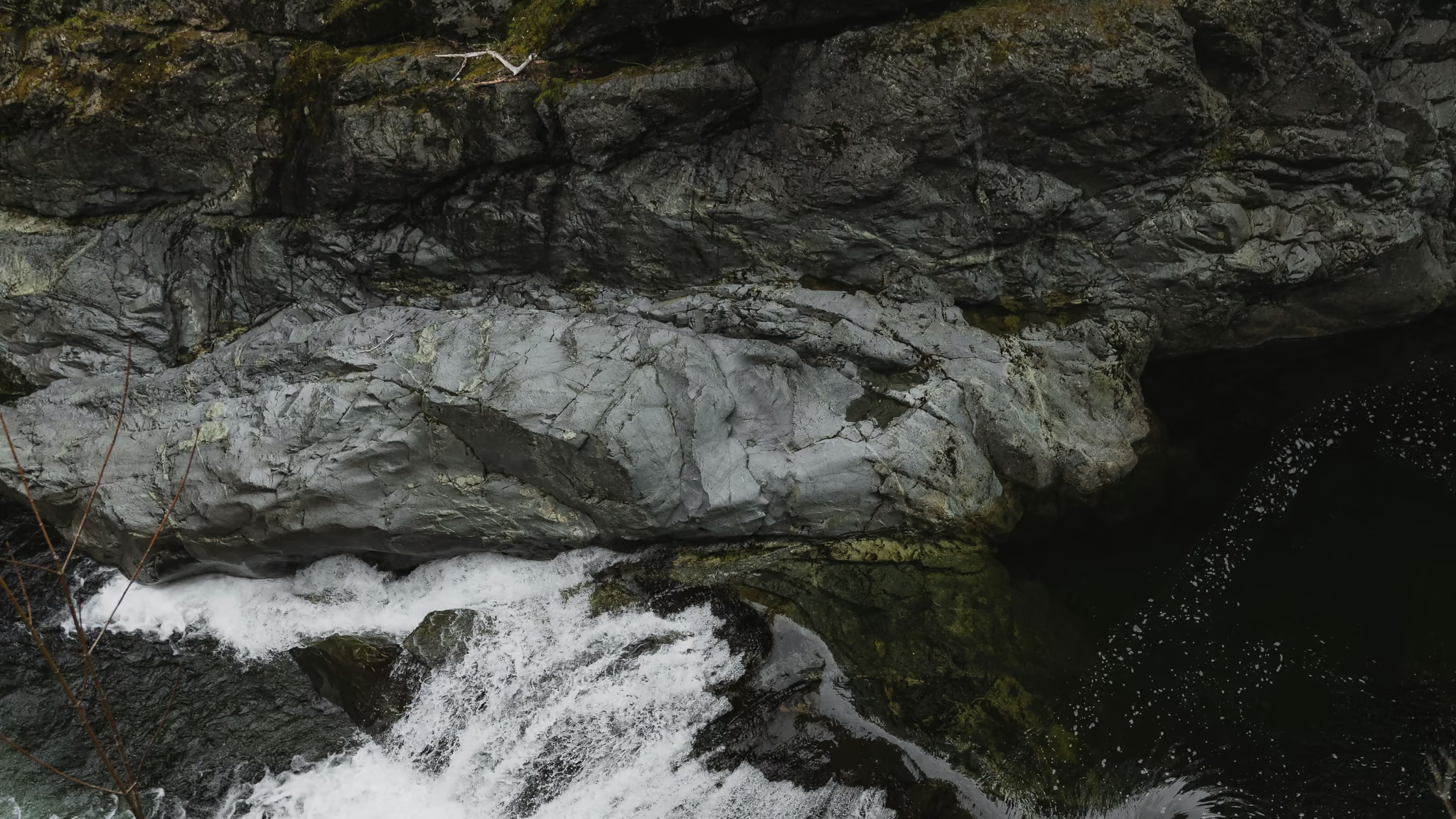
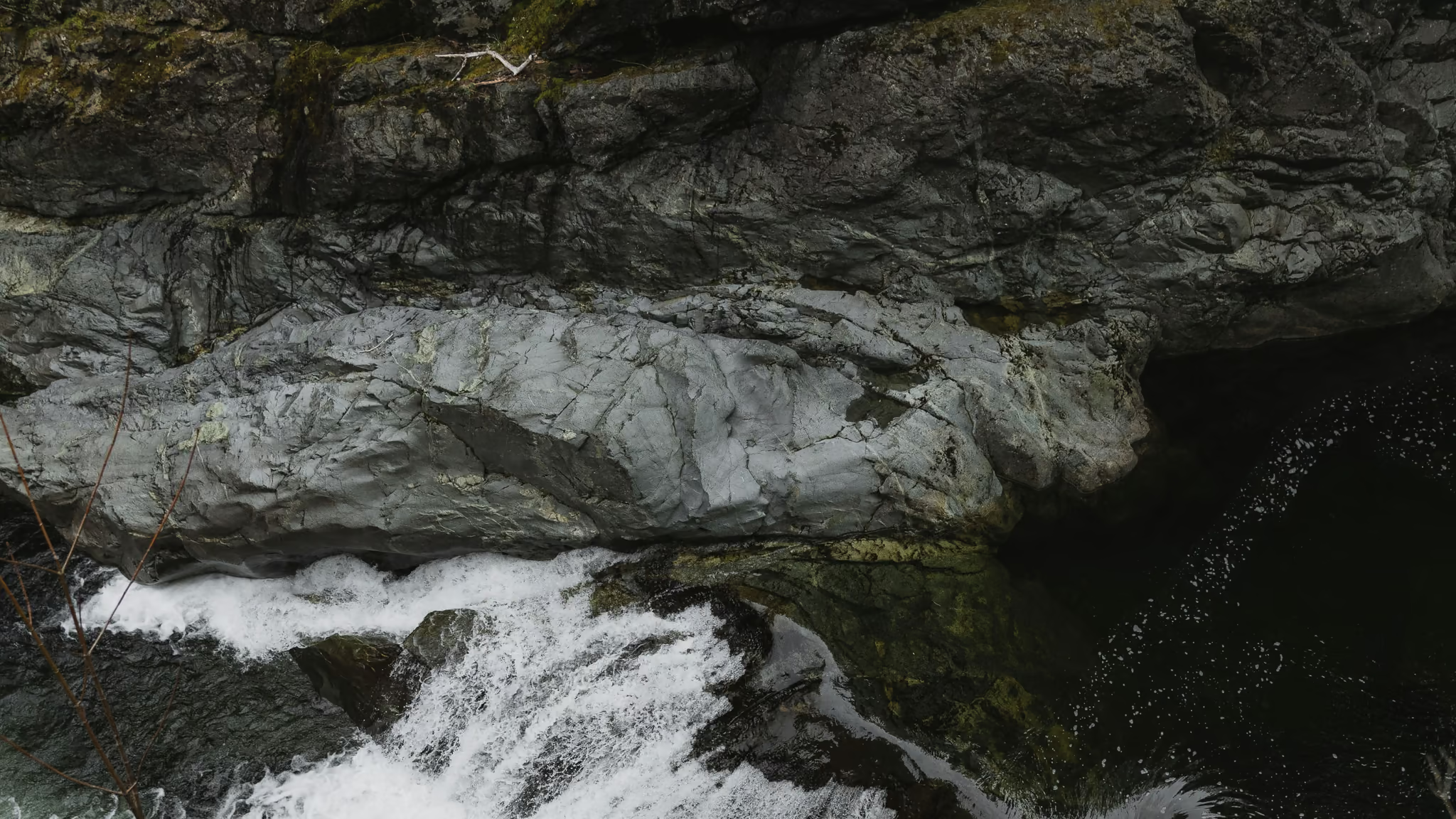
The best short south-Island day you can attach to a Swartz Bay sailing: Sooke Potholes, the gateway, and the gorge from the official viewpoint. Stay back from that edge. Pair it with Victoria if you have two days. Do not swim the potholes themselves.
Quick facts
- Length
- 1 day
- Driving distance
- 140 km
- Starts
- Swartz Bay
- Ends
- Swartz Bay
- Season
- Spring, Summer, Fall
The route
- 1Victoria
- 2Sooke
- 3Sooke Potholes Gateway
- 4Potholes viewpoint
On this page2 sections
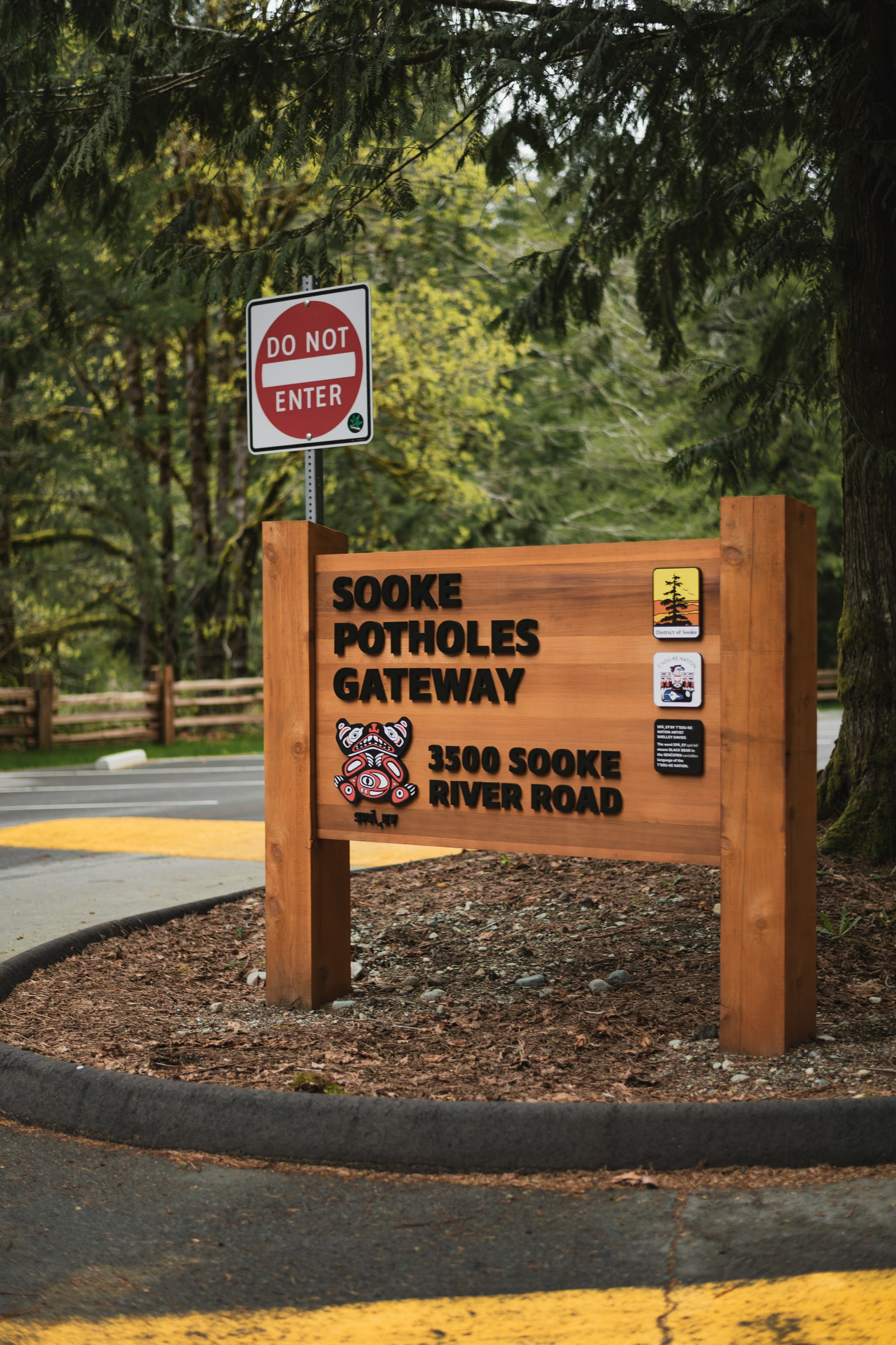
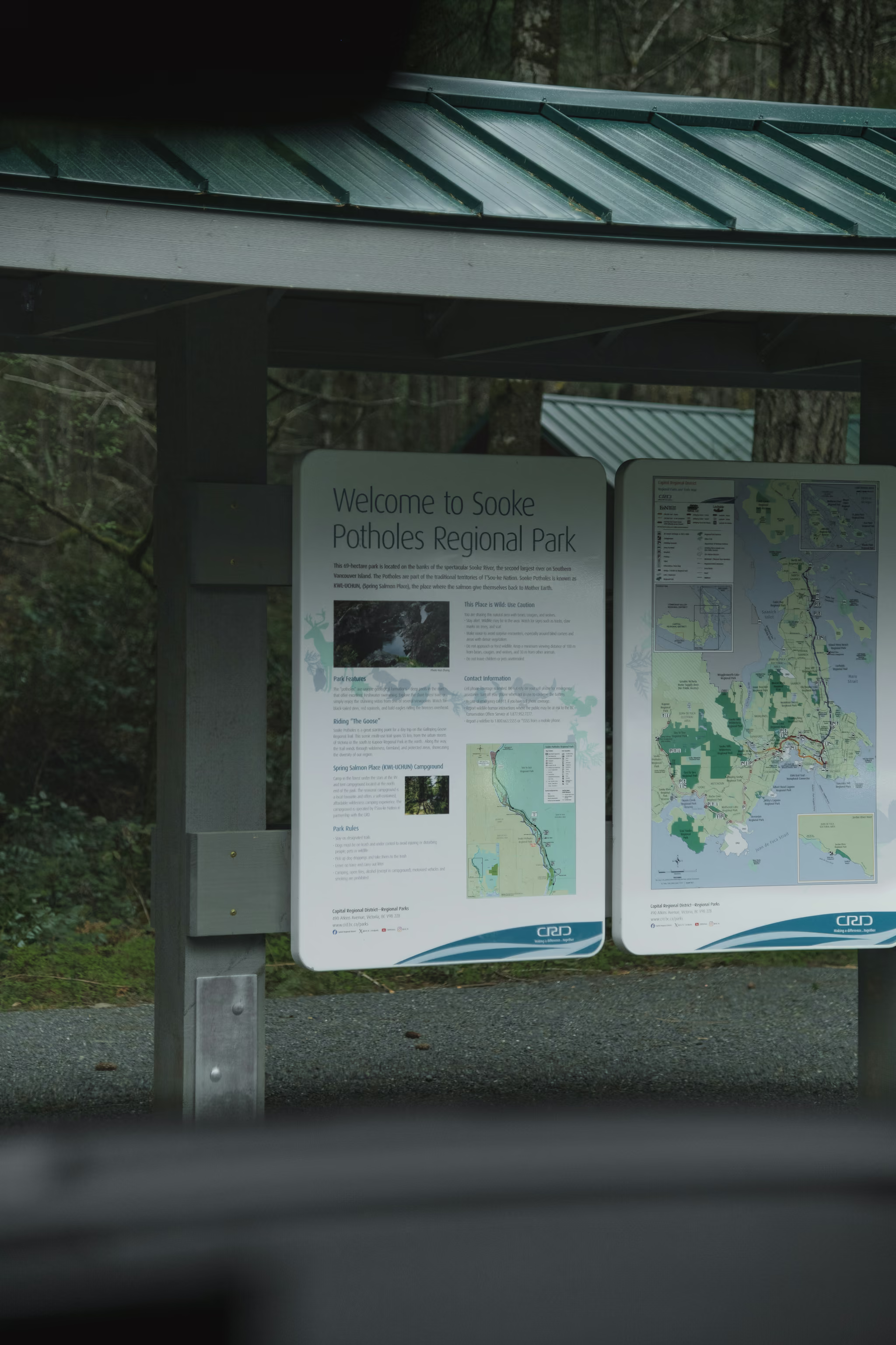
I was at Sooke Potholes on 6 April 2024. Gateway sign, kiosk, gorge. Parking was free because it was April. From May through September the CRD machines and the ZipBy app are the day.
The same calendar day I also photographed Little Qualicum Falls, coming off a Tofino trip. That is a stacked Island day, not a plan. Qualicum to Sooke is a few hours of pavement and it only makes sense if you are already southbound toward Swartz Bay. The schedule below is the version you should run: Sooke as its own south-Island day from Victoria. The Pacific Rim itinerary is the Tofino trip those Qualicum frames belong to.
The day
Swartz Bay, Highway 17 through Victoria, Highway 14 to Sooke, Sooke River Road to 3500 Sooke River Road. Lots 1, 2 and 3 along the river. Lot 3 is closest to the potholes viewpoint. Lot 1 is Crescent Beach swimming. A day pass covers all three in summer.
| Time | Where | Notes |
|---|---|---|
| Morning sailing | Into Swartz Bay | Or start from Victoria if you stayed the night |
| Late morning | Sooke Potholes Gateway | Establishing frame, then Lot 3 |
| Midday | Potholes viewpoint | The gorge. Stay on the deck |
| Afternoon | Optional swim at Crescent Beach, not at the viewpoint | Lot 1 |
| Return | Victoria or Swartz Bay | Budget the evening sailing |
The walk itself is the Sooke Potholes guide: riverside trail, where to swim, where not to, polariser and overcast, the viewpoint as the photograph. This page is only the day that holds the walk.
Pairing it
Overnight in Victoria and do parliament and downtown the other day. I shot those on 23 October 2022. Two visits, one south-Island habit: Swartz Bay, then either the harbour or the river, not both in a panic.
Sooke Potholes in April. Gateway and kiosk, gorge from the official viewpoint. Parking free that month. Little Qualicum was the same calendar day on the way south from a Tofino trip. Do not copy that stack unless the ferry is already Swartz Bay.
Reported by Parveen Singh
Trails on this trip
Full guides for every hike in the itinerary - distances, conditions and where the light lands.
 Vancouver IslandFee required: Fee
Sooke Potholes: River Gorge, Summer Parking Fees, and a Viewpoint You Should Not Swim
The best short river walk near Sooke, and a swimming day if you pick the beaches - not if you pick the potholes viewpoint. Stay back from that edge. The water there is the subject, not the entry.
- Distance: 4 km
- Elevation gain: 80 m
- Difficulty: Easy