Bosumarne Falls: The Unsigned Waterfall at Kilometre 37 of Chilliwack Lake Road
Twenty-five minutes of walking for a genuinely good tiered waterfall, but the unbridged creek crossing means the weeks with the most water are the weeks you should not be here.
Quick facts
- Distance
- 2.6 km
- Elevation gain
- 100 m
- Highest point
- 685 m
- Difficulty
- Easy
- Time needed
- 1-2 hours
- Route type
- Out and back
- Season
- April to November. The trail itself is low and melts out early, but the creek crossing is the limiting factor: peak freshet in May and June and any heavy-rain event in autumn can make it a bad idea regardless of how snow-free the trail is.
- Drive from Vancouver
- 2 h
- Transit accessible
- No
- Dog friendly
- Yes
- Pass or permit
- No pass requiredNo fee and no pass. This is not a provincial park and not a regional park. The trail is an unofficial route on an old logging spur, which means nobody is maintaining it, nobody is inspecting the creek crossing, and nobody is coming to fix the bridge on a schedule.
- Last hiked
- Traditional territory
- S'ólh Téméxw, the traditional and unceded territory of the Stó:lō peoples, and specifically the Ts'elxwéyeqw (Chilliwack) tribe of the Chilliwack River watershed
On this page4 sections
First, the name, because it is the reason you may have had trouble finding anything about this trail. It is Bosumarne Falls. Not Bosumarne, which is the spelling that circulates in shared notes and group chats and returns nothing useful in a search. If you have been looking for a waterfall near Deroche under that name, that is the second half of the confusion: Bosumarne Falls is not near Deroche and has nothing to do with the Lougheed Highway. It is in the Chilliwack River Valley, on the south side of the Fraser, about 37 km up Chilliwack Lake Road.
The waterfall near Deroche that people are usually thinking of is Cascade Falls, which is a Fraser Valley Regional District park with a suspension bridge and a proper parking lot. That is a completely different outing. This one has no sign, no lot, and no guarantee of a dry crossing.
Getting there, and why the road is the easy part
The drive is not the problem here, which makes this trail unusual among the small ones. Chilliwack Lake Road is paved the entire way to the trailhead. Any car makes it. No forest service road, no gravel, no clearance question. If you have been avoiding trails because you drive a low sedan, this is one you can do.
The hard part is finding the pullout. From Chilliwack, follow Chilliwack Lake Road and start paying attention at about 35 km on your odometer. At roughly 37 km, some 3 km short of where the pavement ends near Chilliwack Lake, there is a clearing on the left with a hydro pole and large rocks blocking an old logging spur. The pole is the landmark most people use, and it has been marked with blue spray paint. There is no trail sign of any kind.
Reset your odometer in Chilliwack. Two of the three navigation apps will not have this and the one that does will put the pin in the wrong place.
The walk, and the crossing that decides your day
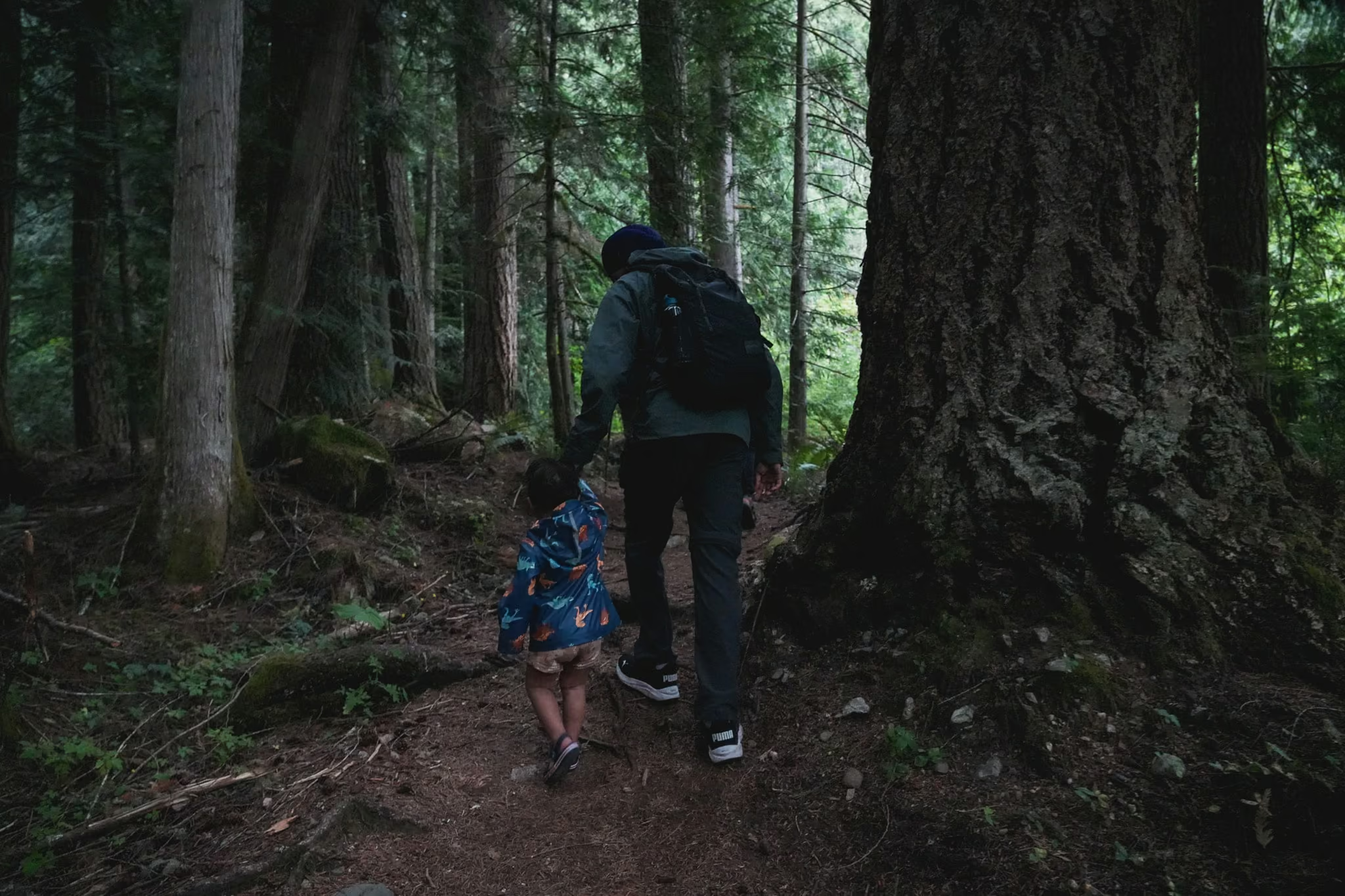
The trail opens on the old logging spur, wide and flat, then narrows to a genuine bush path and climbs gently through progressively bigger timber. The total gain is around 100 metres over 1.3 km each way. Nobody will find that hard.
Then you reach the creek.
For years there was a log bridge here, and trip reports going back to 2023 describe it as down, moved, or reduced to something you would not trust with a pack on. Assume it is not there. The crossing is then a ford, or a scramble across whatever wood has piled up since, and the water level on the day is the single fact that determines whether this hike happens.
Past the crossing the trail gets rougher, steeper and rootier for the final push to the upper tier, which is the part actually worth seeing. This upper section is where the "easy" grade stops describing the experience. It is short, but it is hands-occasionally-on-things terrain and it is slippery when wet, which is most of the time.
The falls, and how much water to expect
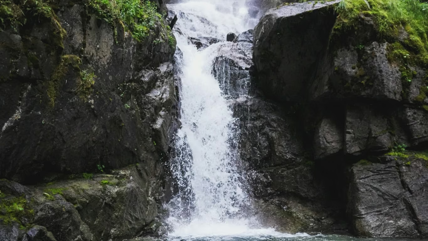
Bosumarne drops in tiers rather than one clean plunge, and the upper tier is the one to spend your time at. It is not a Shannon Falls scale of thing and nobody should drive out here expecting that. It is a good, well-formed, close-quarters waterfall in a mossy gully, and the fact that you can be standing in front of it twenty-five minutes after leaving the car is most of the appeal.
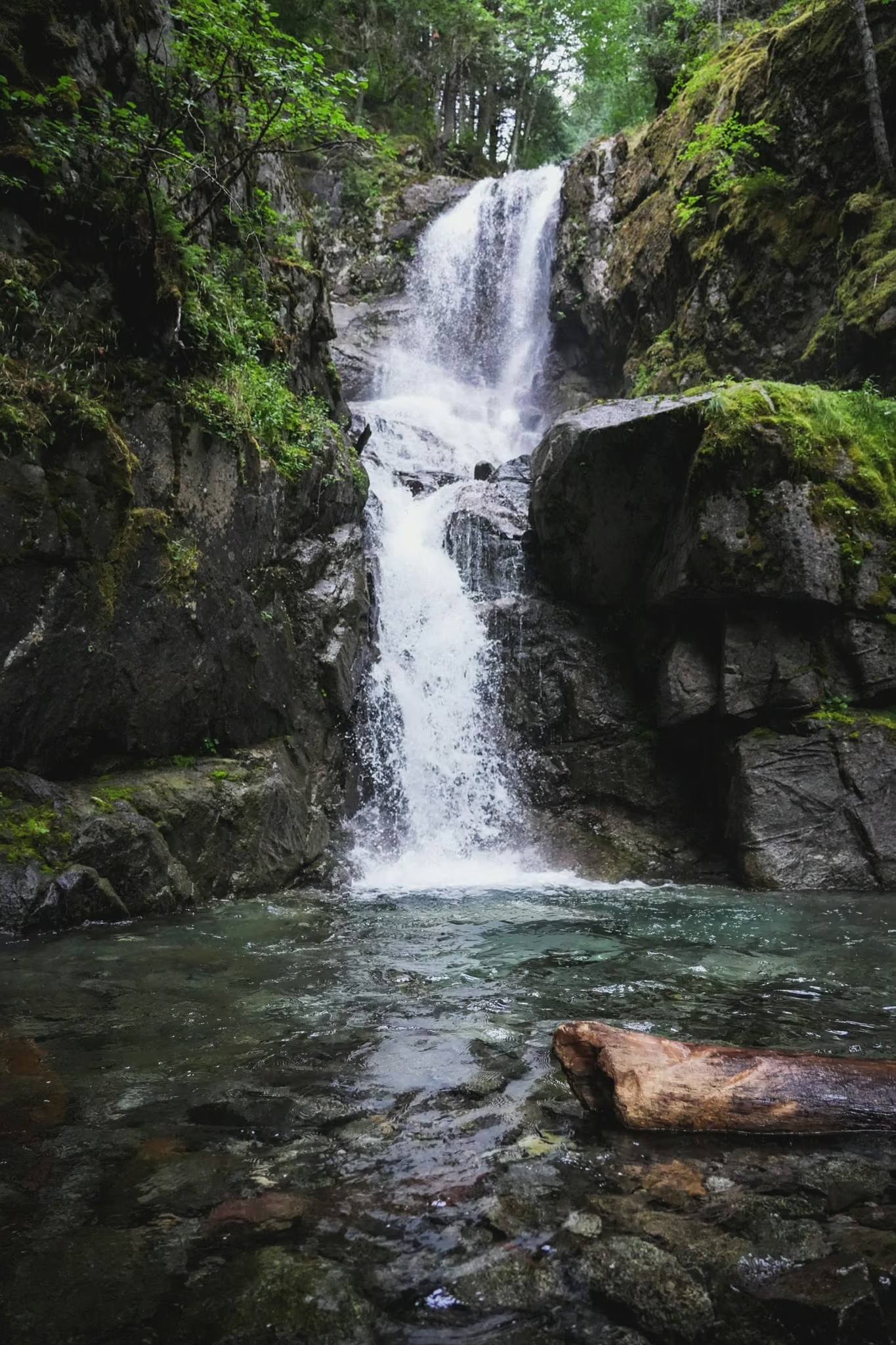
Volume tracks snowmelt and recent rain closely. May and June carry the most water and the least crossable creek. July and August still run but noticeably thinner, and in a dry August you may find it underwhelming relative to the trip reports, which are almost all shot in spring. Autumn rain brings it back up fast.
Reported by
Rules, dogs and who this suits
There is no managing body here in any practical sense. This is not a provincial park, not a regional park, and not a Recreation Sites and Trails BC site with a posted sign and a maintenance schedule. It is an unofficial route on old forestry ground, which means nobody is checking the bridge and there are no facilities at either end.
Dogs are fine on the trail and the terrain suits them. The crossing may not; a dog that will not swim or will not be lifted is a dog that ends the hike at the creek.
I would not bring young children. The walking is well within their range and the creek and the unfenced falls edge are not.
Trail notes from the field
One email a month: what is melting out, what is snowed in, and where the light is good right now. Written after the hike, not before it.
By subscribing you agree to receive occasional emails from psingh.ca. No spam, no selling your address, unsubscribe any time.
Shooting this trail
Photography notes
- Best light
- Full overcast, and it is not close. This is a narrow, tree-walled creek gully, which means direct sun produces exactly the frame you do not want: blown-out white water against black shadow, with a dynamic range no sensor and no bracket recovers gracefully. A flat grey sky acts as a giant softbox over the whole gully and drops the scene into about five stops. Rain is better than cloud. The other workable window is early morning before the sun clears the valley wall, which on this aspect buys you a couple of hours of even light even on a bluebird day.
- Best season
- Late April and early October. April gives you strong flow with the creek still crossable on a good day; October gives you lower water but wet moss, better colour in the understory and the best odds of mist in the gully. Peak freshet in May has the most water and the least safe crossing, which is the central tension of this trail.
- Compositions
- The upper tier as a vertical at 35-50mm. This is the frame the trail exists for. The falls step down in stages rather than dropping in one plunge, so a vertical crop that stacks two or three tiers reads far better than a horizontal that leaves dead forest on both sides.
- Long exposure at 1/2 to 1 second, not longer. On a tiered waterfall this modest, four and eight second exposures turn the whole thing into an undifferentiated white smear and you lose the step structure that gives it its shape. Half a second keeps texture in the water. Bring a tripod; handheld at these speeds is not a thing.
- The creek crossing itself, shot from downstream at 24-35mm with a person for scale. It is the honest photograph of this hike and it is the one that actually tells someone whether they want to come.
- Moss detail on the boulders and downed cedar along the lower logging-road section, 50-85mm wide open on a wet day. The gully holds moisture and the moss here is genuinely good, and it is the part everyone walks past on the way to the objective.
- Gear
- A circular polariser does more work here than an ND. Wet rock and wet leaves throw a grey sheen that flattens every colour in the frame, and dialling the polariser to kill it is the single biggest improvement you can make to a forest waterfall photograph. It also costs you about 1.5 stops, which on an overcast day is often enough to reach half a second at f/11 without any ND at all. Bring a 3-stop ND for the times it is not. Pack a microfibre cloth and expect to use it constantly, because spray in a confined gully lands on the front element within seconds. Do not put a tripod leg anywhere you would not put a foot.