Fraser Valley
The valley east of Vancouver, from the Stave and Hayward reservoirs above Mission out to Chilliwack Lake and the Cheam Range - lower, drier and warmer than the North Shore, with the steepest honest fitness climbs anywhere near the city.
4 trail guides · 2 h from Vancouver
The Fraser Valley is where you go when the North Shore is socked in. It sits lower, it dries out earlier, and it gets a genuine rain shadow that the mountains directly above Vancouver never see. On a spring Saturday when Cypress is rotten snow and cloud, Steelhead Falls is running hard in sunshine ninety minutes east.
It is also where the gradients stop being polite. Elk Mountain climbs 765 m in under 4 km. Goat Ridge does 1,040 m in 3.4 km one way, which works out to roughly a 30 percent average grade, with fixed ropes on the steepest dirt. These are the trails Lower Mainland hikers use as fitness benchmarks, and they earned that reputation honestly.
What the region is good for
Shoulder season and winter. Steelhead Falls and the Hunter Trail viewpoint top out around 480 m or lower, which means they are snow free far more often than not and best in the months everyone else writes off. Steelhead in particular runs hardest between November and June, so the wet season is the season.
Turquoise water without an alpine approach. Lindeman Lake sits at about 840 m and is a 3.4 km round trip. Nothing else that short near Vancouver gets you water that colour. Alouette Lake in Golden Ears is the mist-and-mountain-wall version, a day-use shore with a summer pass, not a waterfall trail.
Big summits with modest trail effort. Mount Cheam is 700 m of gain over 9.5 km to a 2,100 m summit, which is the best view-to-effort ratio of any peak this size in southwest BC. The catch is not the trail.
Access notes
The catch, repeatedly, is the road. Mount Cheam's Chipmunk Creek forest service road needs genuine ground clearance and it is the reason the summit is not overrun. Chilliwack Lake Road is paved out to roughly the 40 km mark and the Bosumarne Falls pullout at km 37 has no lot, no sign and no outhouse.
Parking is the other constraint. The Post Creek lot for Lindeman Lake fills by mid-morning on summer weekends despite serving a trail under 4 km, and Goat Ridge has no lot of its own at all - most people park at Lindeman and walk 200 m up the road.
Most of the trails here require no pass. Alouette Lake is the exception: Golden Ears is on the BC Parks summer day-use pass list. Confirm the current window before you drive.
Seasons
| Season | Reality |
|---|---|
| Nov-Mar | Steelhead Falls and Hunter Trail are the picks, and the waterfalls are at their best. Everything above 800 m is a winter trip. |
| Apr-Jun | The valley floor and low trails come in first. Freshet makes the Bosumarne Falls creek crossing genuinely dangerous in May and June. |
| Jul-Sep | Everything open, including Cheam once the FSR clears. Hunter Trail is the one to skip - there is no shade on it anywhere. |
| Oct | The best month here. Elk Mountain's ridge is clear, the crowds are gone, and the light is low all day. |
Fraser Valley trail guides
Every guide below is a trail I have personally hiked, with the date I was last there on the page.
 Fraser ValleyDay-use pass required: Day pass
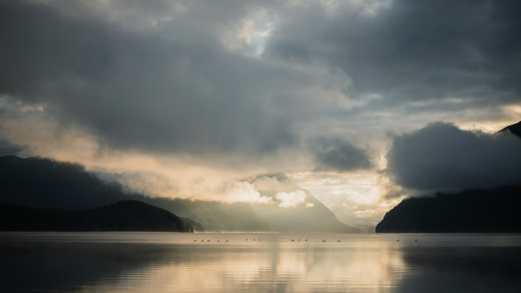
Alouette Lake: Golden Ears Day-Use, Mist, and a Pass You Book in Summer
The honest Golden Ears lakeside stop - not Gold Creek Falls, not a ridge, a day-use shore with a fjord-shaped lake and weather that does the work. Worth it on a moody morning. Book the pass in summer or you are turning around at the gate.
- Distance: 3 km
- Elevation gain: 20 m
- Difficulty: Easy
- Fraser Valley
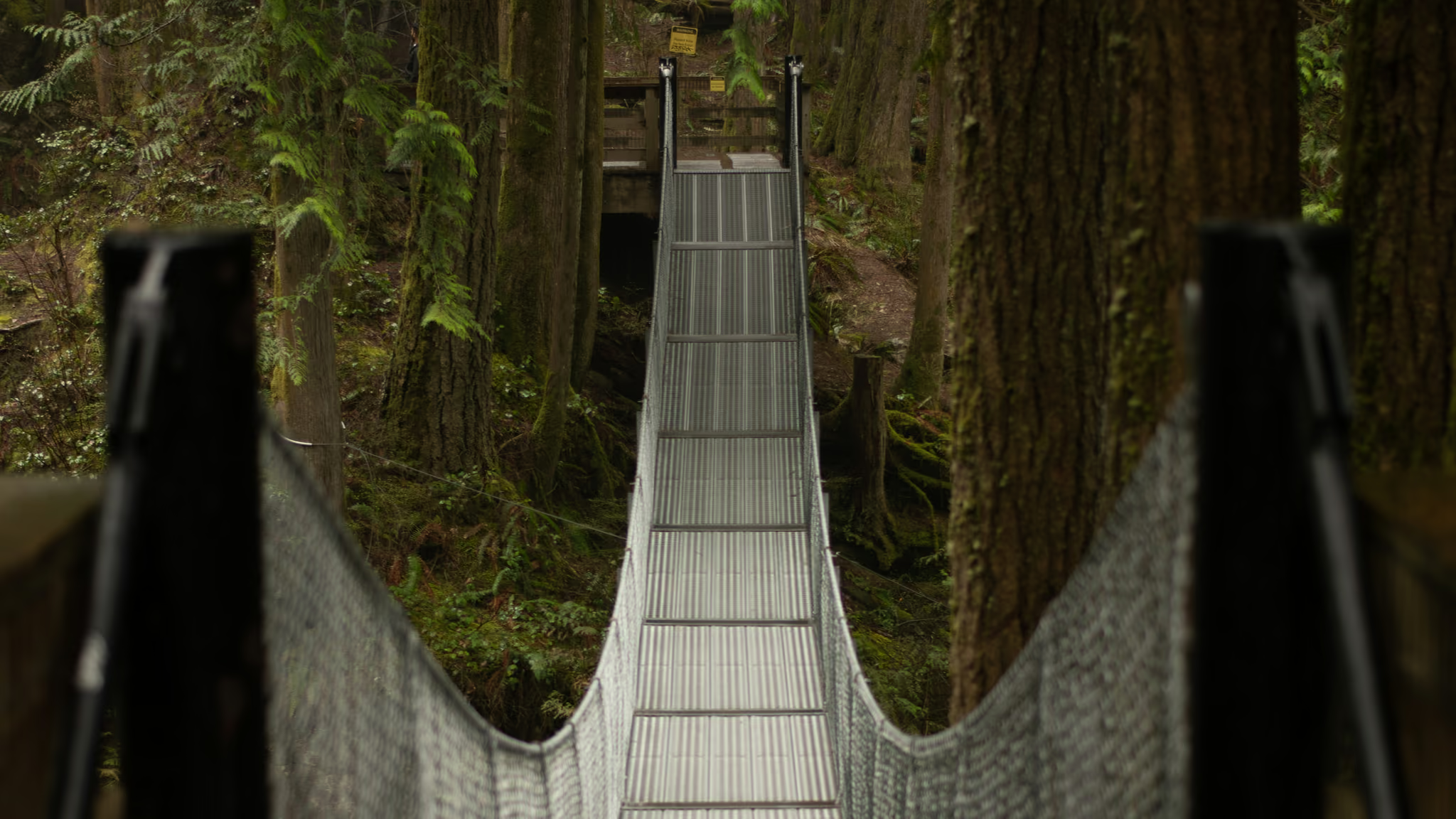
Cascade Falls, Mission: A 30-Metre Drop and a Suspension Bridge
The Fraser Valley's honest short waterfall stop - twenty minutes of stairs, a suspension bridge that is the photograph, and a 30-metre drop. Worth the drive when the creek is up. Stay on the designated trail.
- Distance: 2 km
- Elevation gain: 40 m
- Difficulty: Easy
 Fraser Valley
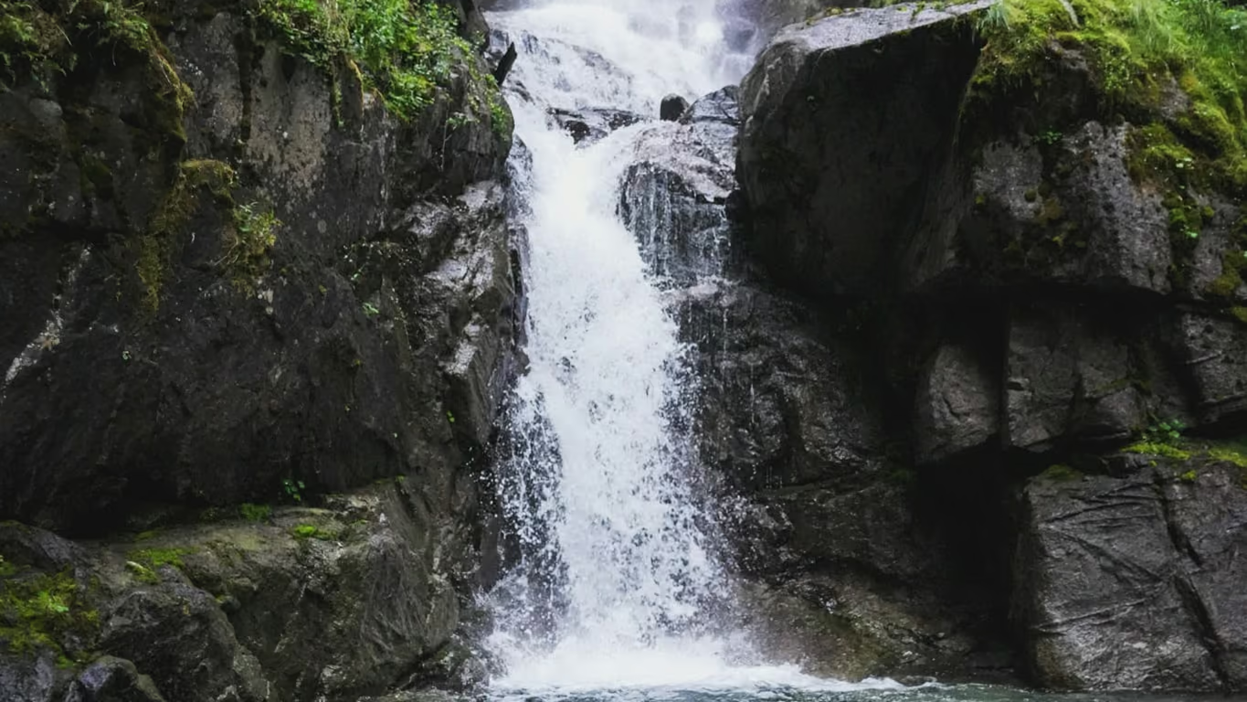
Bosumarne Falls: The Unsigned Waterfall at Kilometre 37 of Chilliwack Lake Road
Twenty-five minutes of walking for a genuinely good tiered waterfall, but the unbridged creek crossing means the weeks with the most water are the weeks you should not be here.
- Distance: 2.6 km
- Elevation gain: 100 m
- Difficulty: Easy
 Fraser Valley
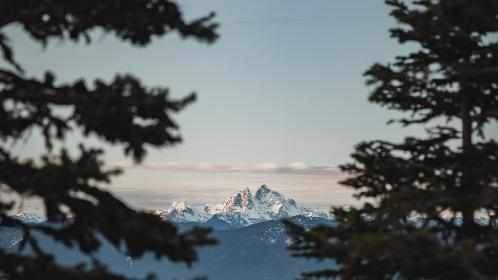
Elk Mountain, Chilliwack: The Fraser Valley Fitness Climb With a Real Summit
The best steep-and-short summit in the Fraser Valley, and the one people use as their fitness benchmark for a reason. It is 765 m in under 4 km with almost no flat, and the reward is a genuine open ridge rather than a viewpoint through trees.
- Distance: 8 km
- Elevation gain: 765 m
- Difficulty: Hard