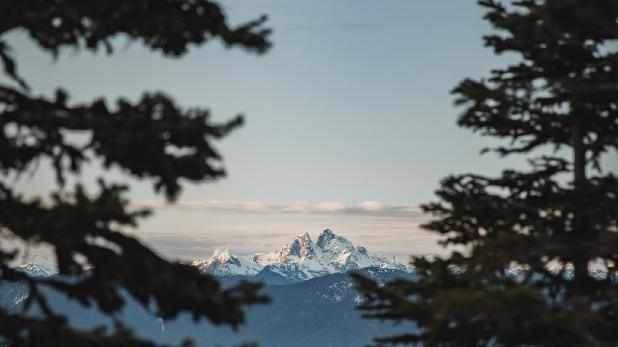
Elk Mountain, Chilliwack: The Fraser Valley Fitness Climb With a Real Summit
The best steep-and-short summit in the Fraser Valley, and the one people use as their fitness benchmark for a reason. It is 765 m in under 4 km with almost no flat, and the reward is a genuine open ridge rather than a viewpoint through trees.
Quick facts
- Distance
- 8 km
- Elevation gain
- 765 m
- Highest point
- 1,430 m
- Difficulty
- Hard
- Time needed
- 3-5 hours
- Route type
- Out and back
- Season
- Usually June to October for the full ridge. The lower forest often clears in late April or May, but the upper meadows and the summit ridge hold snow into June in most years, and the trail is genuinely dangerous on old hard snow because it is steep and open.
- Drive from Vancouver
- 1 h 45 min
- Transit accessible
- No
- Dog friendly
- Yes
- Pass or permit
- No pass requiredFree. No park pass, no day-use reservation, no fee. It is a Recreation Sites and Trails BC trail on the Chilliwack bench rather than a provincial park, which is also why the facilities are minimal.
- Last hiked
- Traditional territory
- S'ólh Téméxw, the territory of the Stó:lō. The Chilliwack bench and the mountains above it are the ancestral territory of the Ts'elxwéyeqw (Chilliwack) Tribe.
On this page4 sections
Elk Mountain is the trail Chilliwack uses to measure itself. Eight kilometres return, 765 metres of gain, and almost none of it flat. People do it on weeknights after work, they do it twice in a morning, and they compare times the way North Shore people compare Grind times. The difference is that at the top of this one there is an actual mountain summit with meadows and a 200 degree view, not a chairlift.
The grade is the trail
There is no gentle first section. From the wooden map board at the trailhead the path climbs into second-growth forest and starts working immediately.
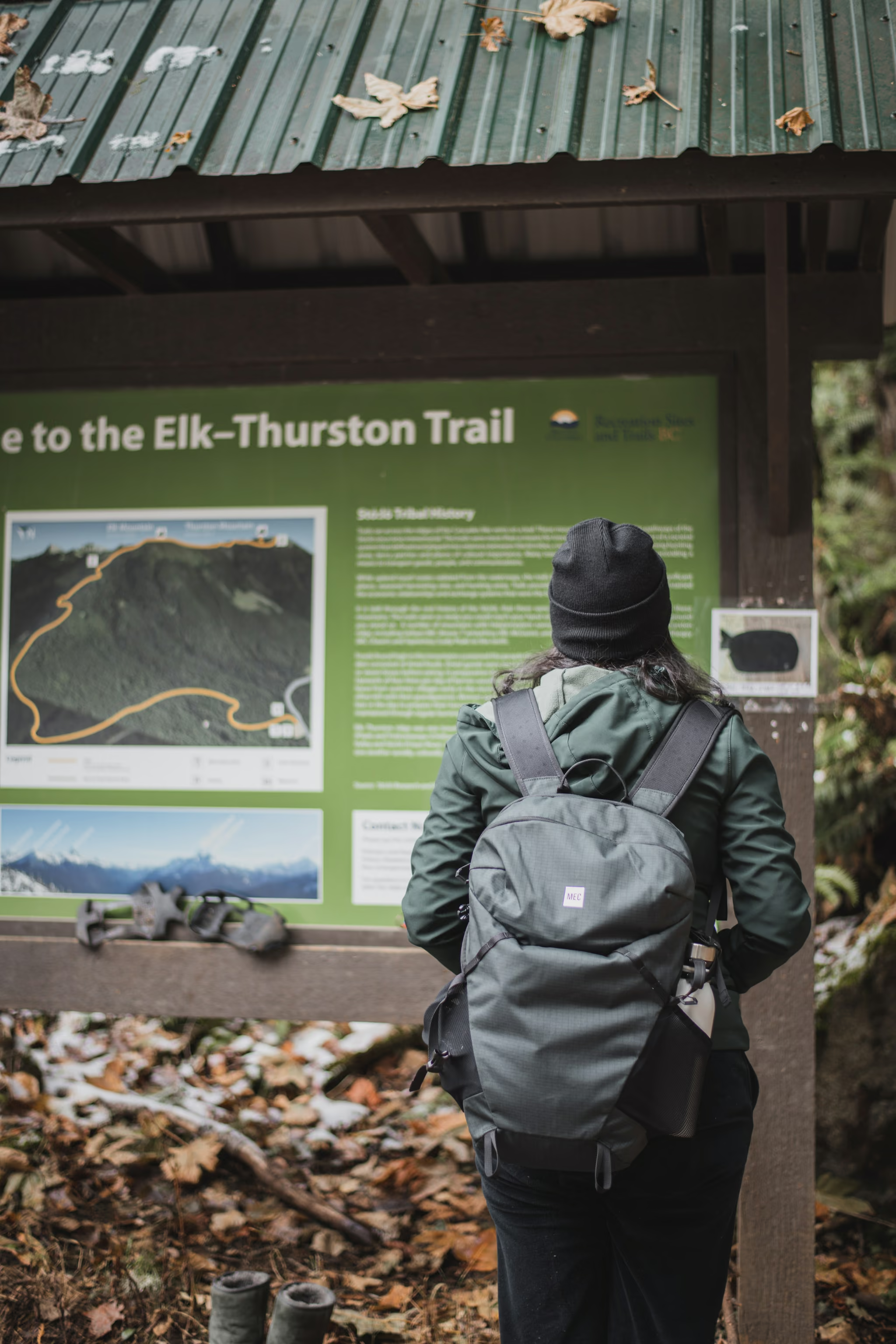
The first portion is switchbacked and reasonable. Then the switchbacks stop being generous and the trail settles into a sustained, relentless climb that does not let up until the trees thin near the top.
The surface is the thing people underestimate. It is dry, packed dirt that goes to loose dust by July, and on the steeper pitches that dust sits on hardpack like ball bearings. Going up it costs you energy. Coming down it costs you confidence, and it is where almost every slip on this trail happens. There are wooden steps in a few of the worst sections and they help, but they are not everywhere.
Poles are worth carrying purely for the descent. Trail runners are fine going up and marginal coming down.
The top
The trees give way to open meadow and the character of the day changes completely. In early summer the meadows carry wildflowers, and the summit itself is a rocky, grassy high point at about 1,430 metres with the whole Fraser Valley laid out below. Cultus Lake sits to the southwest, Chilliwack and the Fraser directly below, and Mount Baker anchors the horizon to the south.
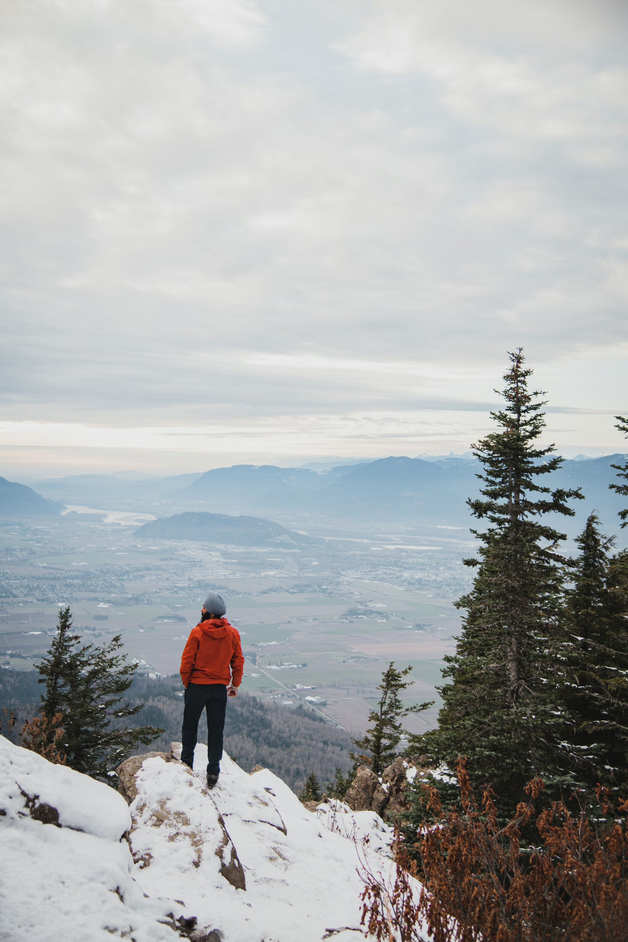
I was also on this ledge in November 2022, with snow on the rock and no wildflowers. That is a different day from the June 2026 hike this page is dated to. The photograph is here because the ridge in snow is the version of Elk that the summer fitness climb does not advertise.
Just below the summit there is a cleared, angled meadow with a launch sheet on it. That is a paraglider launch, sitting around 1,440 metres and facing southeast through southwest, and it is well regarded enough that pilots drive up from the coast for it. On a day with decent thermals you will summit and find canopies in the air below you, which is a strange and excellent thing to watch while eating a sandwich.
The trail continues along the ridge to Mount Thurston, adding significant distance and gain and turning the day into something closer to six or seven hours. Most people stop at Elk. The consequence is that the ridge between the two is almost always empty, and it is the prettiest walking on the mountain.
Season and snow
The published window is June to October, and that is honest for the full route. The lower forest often melts out in late April or May and people hike partway in shoulder season, but the upper trail and the summit ridge are steep and open, and old consolidated snow on that terrain is a genuine hazard rather than an inconvenience. A slip there does not stop until the trees.
The reason Elk holds snow later than its 1,430 metres suggests is that the last section is exposed alpine meadow that drifts. Do not read a trip report from May and assume the ridge is clear.
Autumn is the underrated season here. The dust settles after the first rain, the temperature stops punishing you on the climb, and the valley haze that ruins the long view all summer finally clears.
Trail open and snow-free to the summit in mid-summer. The last kilometre of Chilliwack Bench FSR to the trailhead has washouts and large potholes but remains passable to a carefully driven 2WD vehicle in dry conditions. Parking fills on weekend mornings with overflow along the road.
Reported by Published trip reports and trail listings
Getting there
From Vancouver it is about an hour forty-five, which makes it one of the shortest drives to a real summit east of the city. Highway 1 east to Exit 123 (Prest Road), right for about 4 kilometres, left onto Bailey Road for a kilometre, then right and up Elk View Road. That road climbs about 8 kilometres of pavement before turning to gravel for the last stretch to the clearing.
The gravel is where people hurt their cars. It has washouts and potholes deep enough to matter, and a low sedan driven at speed will find them. Driven slowly and in daylight it is fine for a normal vehicle. If you would rather not, park lower on the gravel and walk up. It adds very little.
Dogs are welcome and common here. Keep them under control on the summit meadows, keep them out of the paraglider launch area, and remember there is no water for them either. Plenty of people carry a collapsible bowl and an extra litre specifically for the dog, which on this trail is not overcautious.
Trail notes from the field
One email a month: what is melting out, what is snowed in, and where the light is good right now. Written after the hike, not before it.
By subscribing you agree to receive occasional emails from psingh.ca. No spam, no selling your address, unsubscribe any time.
Shooting this trail
Photography notes
- Best light
- Sunset, and Elk Mountain is one of the few Fraser Valley summits where committing to it is reasonable. The summit faces broadly west and southwest over Chilliwack and Cultus Lake, so the sun goes down into the frame rather than behind you. The catch is the descent: 765 m of steep, loose, dusty trail in the dark, which means a real headlamp and spare batteries rather than a phone. Sunrise works differently and is arguably better in summer, because the valley below fills with low cloud on clear cold mornings and the summit at 1,430 m sits above it.
- Best season
- Late September and October. Summer haze from valley agriculture and wildfire smoke flattens the long view badly, and the first clear cold snap of autumn is when the Cascades actually resolve.
- Compositions
- The inversion frame at sunrise: on high-pressure autumn mornings the Fraser Valley fills with fog to roughly 700 or 800 m, well below the summit. Shoot at 24-35mm with the meadow grass as a foreground edge and the fog running east to Mount Baker. This is the single most valuable reason to get up at 3am for this trail.
- Mount Baker compressed at 100-200mm from the summit rocks. Baker sits far enough south that a long lens stacks it against the nearer Chilliwack ridgelines and makes it read as enormous, which a wide lens never will.
- The paraglider launch as a subject rather than a curiosity. It is a cleared, angled meadow just below the summit facing southeast to southwest, and on a good thermal day there are canopies in the air below you. Shoot down onto them at 70-200mm with the valley as backdrop. Being above a paraglider is not a common vantage.
- The ridge line toward Mount Thurston at 35-50mm in late light. The meadow grass goes gold, the ridge undulates cleanly, and a single walking figure gives it scale.
- Gear
- This trail is a dust bath from July onward and dust is the real gear problem. Change lenses as little as possible, or not at all. A single mid-zoom plus a telephoto is the sensible kit and a wide is optional. If you are staying for sunset, a headlamp is safety equipment rather than photography equipment: the descent is steep enough that people get genuinely stuck on it. A lightweight tripod earns its place here because blue hour over the valley lights is worth shooting properly, but leave the heavy one at home.