Sea to Sky
The Highway 99 corridor from Horseshoe Bay to Squamish and beyond - Howe Sound on one side, granite walls on the other, and the transition from North Shore day hikes to genuine Coast Mountain terrain.
4 trail guides · 1 h from Vancouver
The Sea to Sky is the drive that changes what kind of hiking you do. On the North Shore you are on a mountain that looks down at the city. Forty minutes further up Highway 99 you are in the Coast Mountains proper, the peaks stop being 1,300 metres and start being 2,600, and the consequences of a bad decision scale accordingly.
Átl'ḵa7tsem - Howe Sound - is the southernmost fjord in North America, and the corridor runs along its eastern shore before turning inland at Squamish. It is one of the great drives anywhere, and it is also a corridor rather than a destination: the good things are pullouts, trailheads and side roads off it, not the highway itself.
What the region is good for
Photography, more than anywhere else near Vancouver. The combination of water, granite and steep light does most of the work. Porteau Cove is the closest genuinely dark sky to the city. The pullouts between Lions Bay and Britannia catch alpenglow on the Tantalus Range across the water. Shannon Falls and the Stawamus Chief are the obvious stops and they are obvious for a reason. Mamquam Falls is the unsigned FSR canyon east of Squamish, turquoise rather than tall. The Sea to Sky Gondola is the ticketed skip if you wanted the Sky Pilot bridge without the Sea to Summit climb.
Winter objectives with real commitment. Diamond Head and the Elfin Lakes route, Brew Hut, the Red Heather area - these are avalanche-terrain trips that need training and equipment, not extensions of a North Shore snowshoe.
Shoulder seasons. Squamish is drier and warmer than the North Shore and comes into condition weeks earlier. When Cypress is rotten snow in April, the Chief is dry.
Access notes
Highway 99 is the only route and it is genuinely hazardous in winter - winter tires are legally required, and the stretch from Horseshoe Bay to Squamish closes periodically for accidents and rockfall with no detour available. Check DriveBC before you commit; a closure means a four-hour wait, not an alternate route.
Most of the good trailheads are up gravel forest service roads that are not maintained in winter. The Diamond Head road to the Garibaldi trailhead is 16 km of rough gravel where BC Parks recommends 4x4 and chains are mandatory October through May.
BC Parks day-use passes apply at Garibaldi trailheads in summer - Diamond Head runs Fridays through Mondays and holidays, June 12 to October 12, 2026 - and not at all in winter. Drones are prohibited in every provincial park in the corridor.
Seasons
| Season | Reality |
|---|---|
| Dec-Mar | Winter backcountry. Avalanche training required for anything above treeline. Low-elevation Squamish trails stay open. |
| Apr-Jun | Squamish valley trails dry out early; the alpine is still full winter until well into July. |
| Jul-Sep | Everything open. Peak crowds, day-pass season, and the corridor's best weather. |
| Oct-Nov | Quiet, wet, and the last of the alpine access. Excellent light, few people. |
Sea to Sky trail guides
Every guide below is a trail I have personally hiked, with the date I was last there on the page.
- Sea to Sky
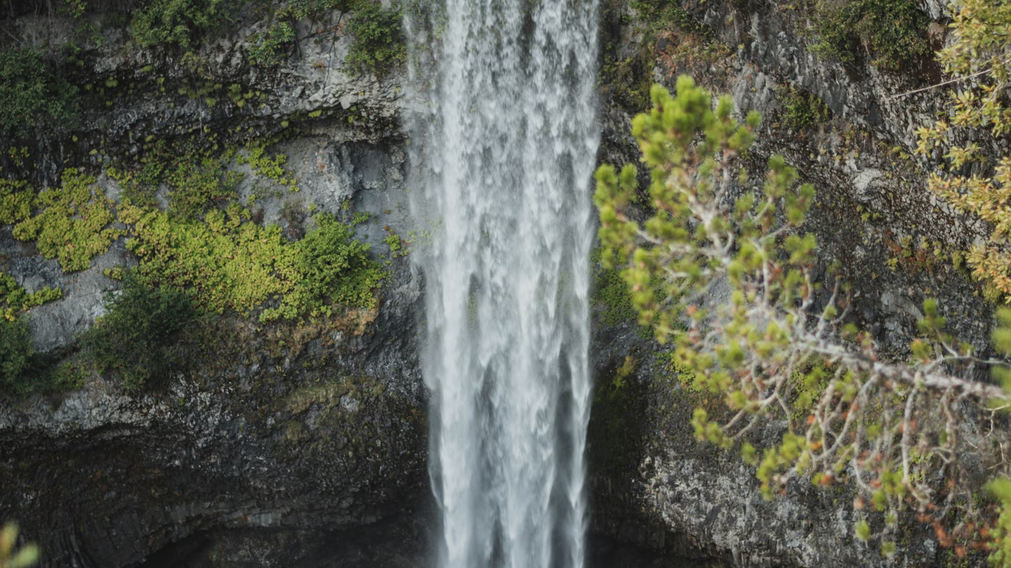
Brandywine Falls: 70 Metres, Fifteen Minutes, and a Gate That Closes for Winter
The Sea to Sky's other ten-minute waterfall stop, and the honest one - a 70-metre drop over a volcanic ledge, a covered bridge, and a lot that is gated all winter. Worth the pull-off if the gate is open. Not worth a ticket for parking on the highway if it is not.
- Distance: 1.2 km
- Elevation gain: 20 m
- Difficulty: Easy
 Sea to Sky
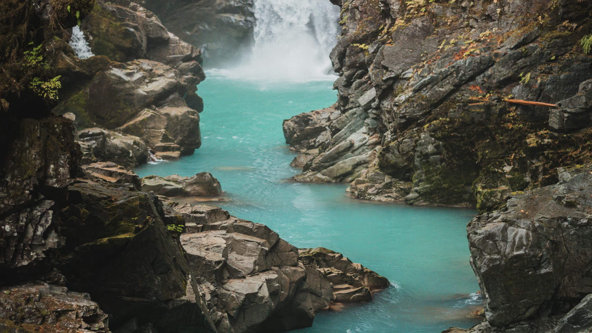
Mamquam Falls: A Turquoise Canyon off an Unsigned Squamish FSR
The Sea to Sky waterfall that is not Shannon and not Brandywine - a milky turquoise slot, a short walk, and an unsigned trailhead past a yellow gate. Worth it if you will drive the FSR. Not a viewpoint deck. Stay on the rim.
- Distance: 2 km
- Elevation gain: 80 m
- Difficulty: Easy
 Sea to SkyFee required: Fee
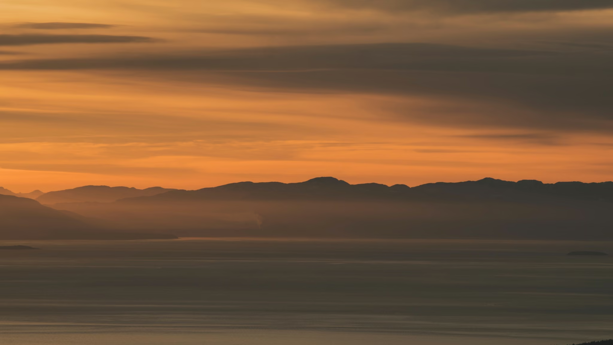
Tunnel Bluffs: The Howe Sound Viewpoint With a Parking Problem
The finest sunset bluff on Howe Sound, guarded by the most aggressively enforced parking situation in the Lower Mainland. Solve the parking and the hike is straightforward. I was back on 16 August 2026 and that still holds.
- Distance: 11.5 km
- Elevation gain: 470 m
- Difficulty: Moderate
 Sea to Sky
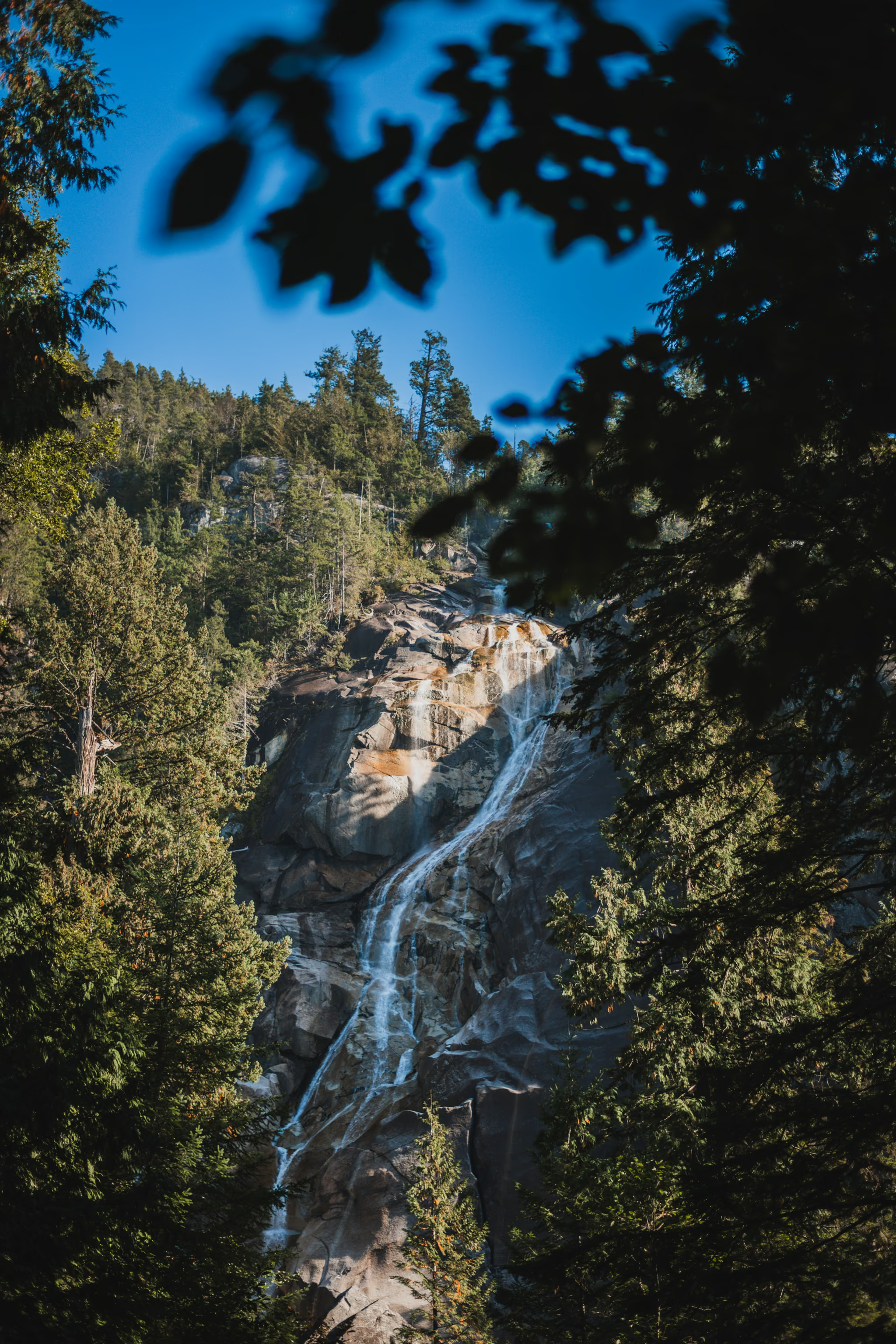
Shannon Falls: A 10-Minute Walk to BC's Third-Highest Waterfall
Not a hike, and nobody should pretend otherwise - but a 335 m waterfall ten minutes from your car is a fair trade for the parking-lot chaos, and the connector to the Chief is the real reason to park here.
- Distance: 1 km
- Elevation gain: 45 m
- Difficulty: Easy