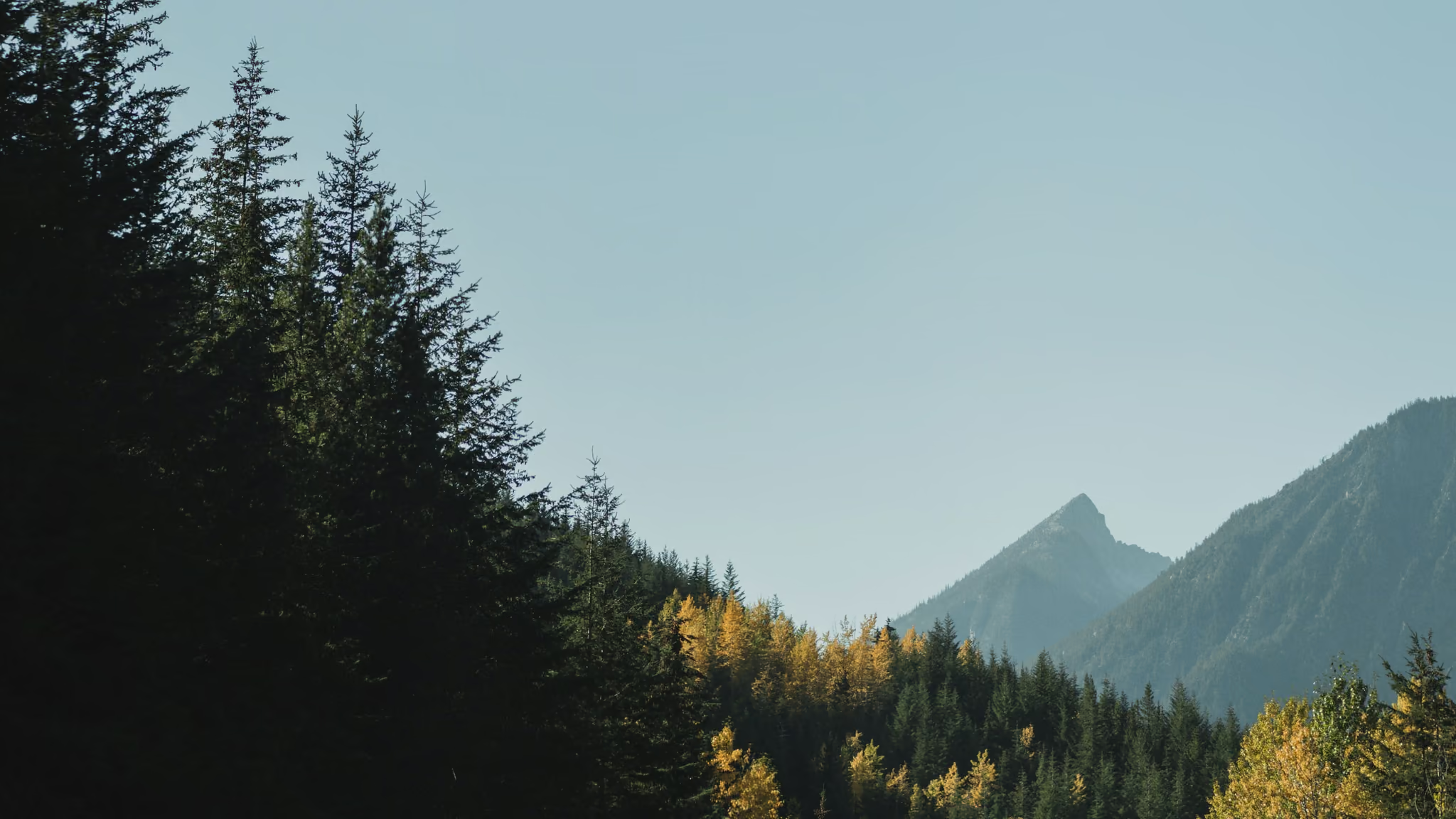
Duffey Lake Road: The Pullout Between Pemberton and Lillooet
Highway 99 east of Pemberton, the high forested road people mean when they say the Duffey, with lake and peak pullouts that are the trip as much as Joffre is. Not a trail. A driving photograph with a winter asterisk.
Highway 99 (Duffey Lake Road) between Pemberton and Lillooet · Easy to reach
Shooting this spot
Photography notes
Shoot types
- Daytime
- Fall colour
- Winter
- Best light
- Clear or high cloud, when the peaks have edges and the forest has colour. Autumn is the yellow-in-the-slope version. Midwinter is snowbanks, low sun, and a road that may be the whole risk of the day. Overcast flattens the far peaks into cardboard, which is still honest if the road is the subject.
- Best season
- Late September and early October for colour on the benches without committing to Joffre's summer ticket. February if you are already going to Joffre in winter and the highway is actually passable. Do not invent a photography day on the Duffey in a storm. DriveBC is the first tool, not the camera.
- Getting there
- Highway 99 east of Pemberton. Winter tires and chains rules apply in season. The road is the access. Pullouts are short. Do not stop in a travel lane, on a blind crest, or in a plow path. Joffre Lakes parking is a separate lot with its own winter rules and a theft advisory. Seton Lake lookout is further east toward Lillooet. If the Duffey is closed or ugly, there is no photograph here worth the recovery bill.
Shot from the Joffre Lakes in Winter: What the Trail Is Actually Like in February and March trail - the full guide has distances, conditions and parking.
The Duffey is the name people use for Highway 99 between Pemberton and Lillooet when they mean the high, forested, occasionally terrifying middle, not the street in town. Joffre Lakes sits on it. Seton Lake sits further along it. The road itself is a photograph, which is easy to forget when the trailhead is the goal.
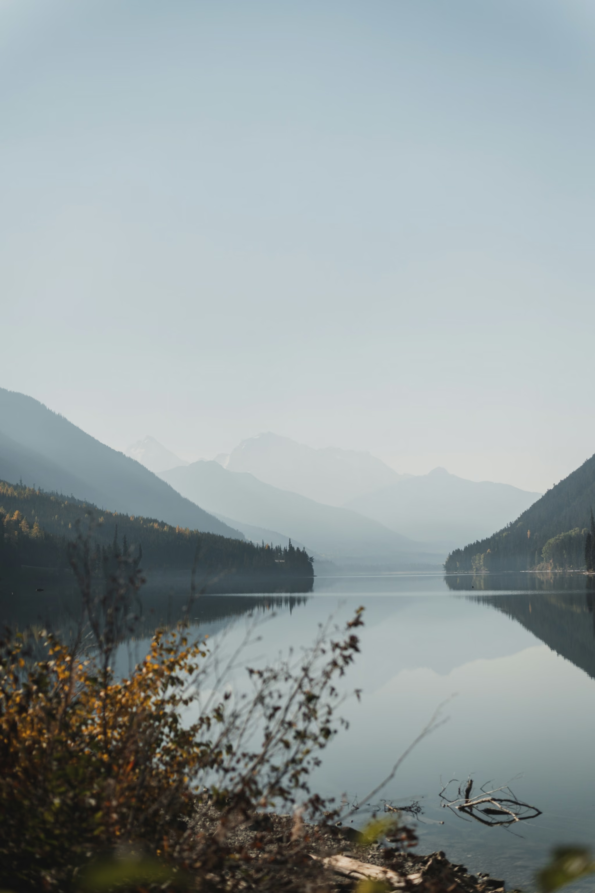
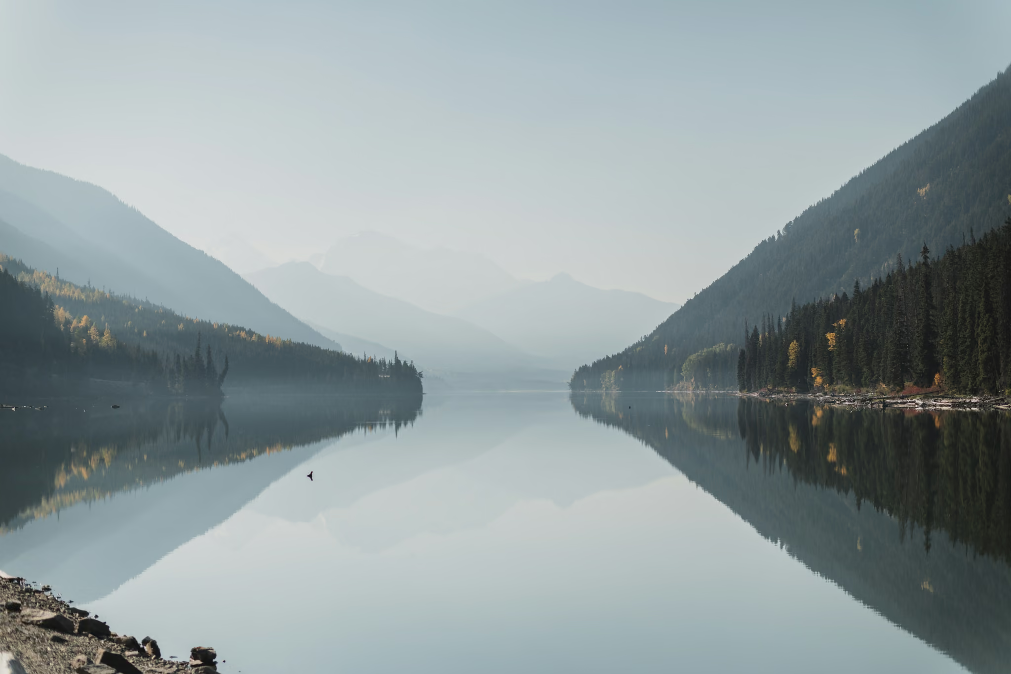
I stopped at the lake on 21 October 2022. Still water, autumn brush, peaks stacked in haze. A month later, on 26 November, the same corridor was the road in the foreground and a pyramid peak with leftover yellow in the trees. Both are this page. Treat them as driving pictures.
Stopping
Short pullouts. Fast traffic. Logging trucks and winter maintenance. If you cannot get the vehicle fully out of the lane, you do not have a photograph, you have a hazard. Walk nowhere. The shoulder is not a trail.
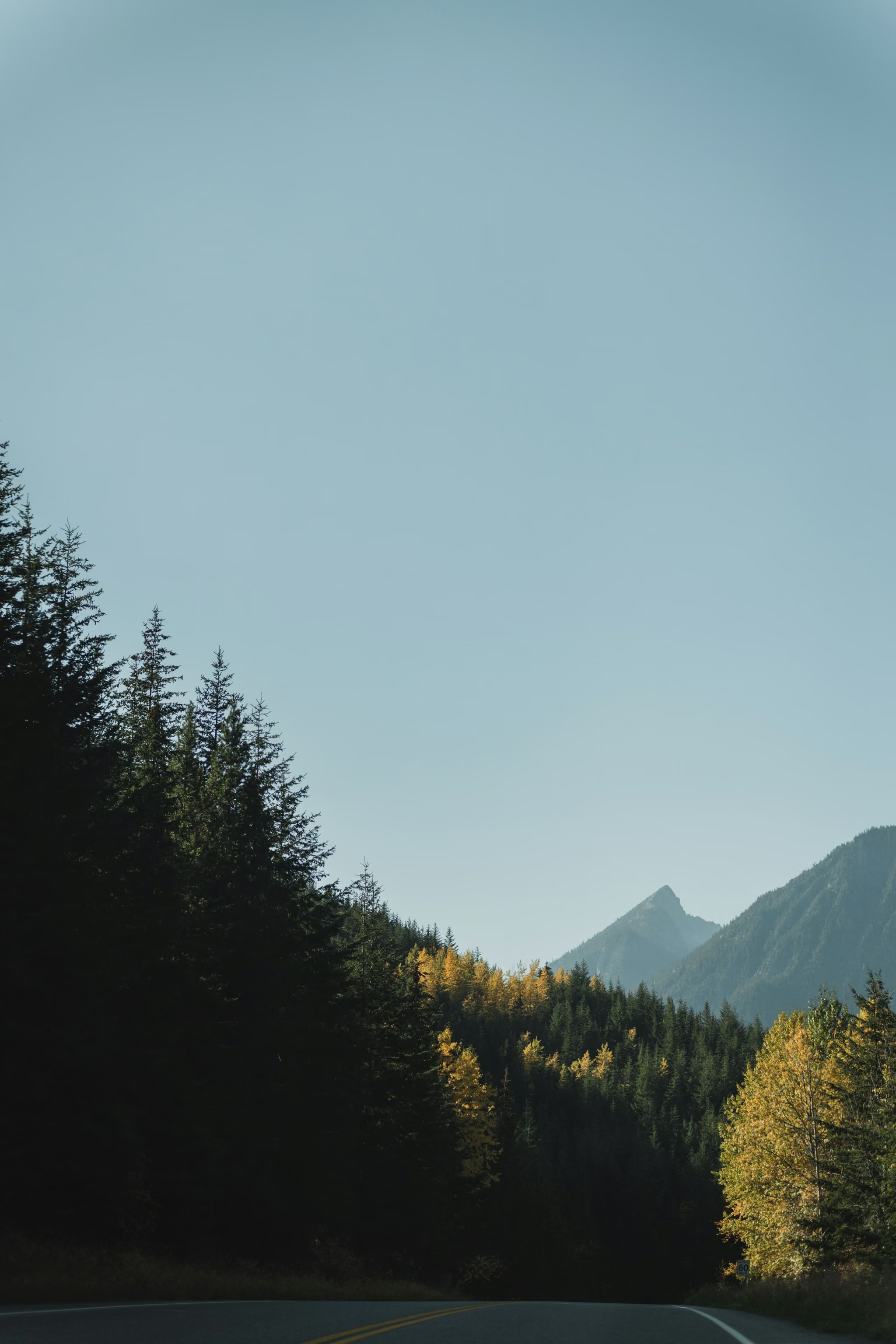
Winter
From 1 October to 30 April the corridor has winter tire and chain rules. The Duffey sees weather Pemberton does not. Joffre's winter guide on this site is the trail half of that sentence. This page is the highway half. Check DriveBC from Vancouver, not from the Joffre lot with no signal.
If you want the loop rather than a single pullout, the Hope-Lillooet-Whistler itinerary is the piece that uses this road as a spine instead of as a commute. Seton Lake lookout is the next stop east.